Hike | Arches National Park | Utah
The Delicate Arch Hike in Arches National Park
Text | Anninka Kraus
Photography | Tobias Kraus

US Utah
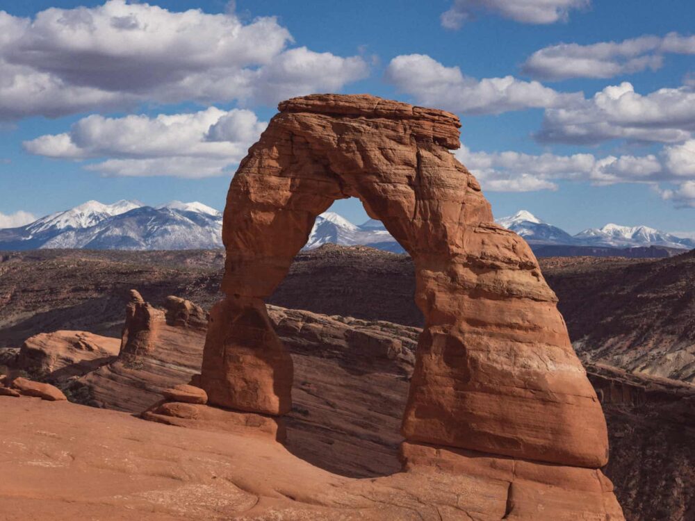
The most iconic rock formation in Arches National Park is Delicate Arch – a free-standing, beautifully sculpted bright red arch that symbolizes the beauty of the park like no other and is depicted on Utah license plates. The largest arch in the park at 46 feet high and 32 feet wide, it outshines all other rock formations with its delicate shape, impressive size and sprawling views across the surrounding red rock scenery.
It’s a sight no one wants to miss, and so the 3-mile (4.8km) Delicate Arch Hike is incredibly popular and busy.
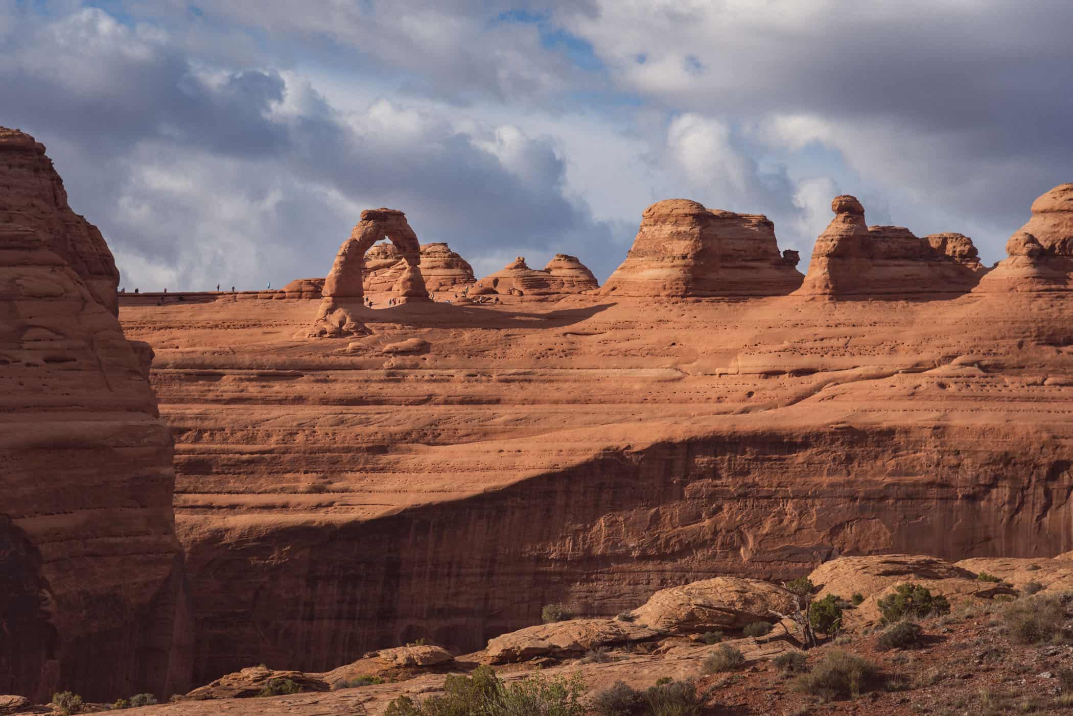
When you arrive at the arch, however, you’ll find that there’s plenty of space to sit on the sloping plateau across from the arch relatively undisturbed and soak up the spectacular views.
It’s not a difficult hike, but also not as easy as some people we met on the trail assumed either. There’s a 146m elevation gain to tackle up sloping slickrock with no shade on a sunny day. On a day when high temperatures are forecast, it’d be best to set off early, before sunrise, or go late in the afternoon and enjoy a magnificent sunset.
If you’re short on time or not that enthusiastic a hiker, there are two more easily accessible viewpoints – Lower and Upper Delicate Arch Viewpoints – that offer a lovely view of Delicate Arch from across a deep canyon and see far fewer tourists than the Delicate Arch Trail.
Note that the trailhead for the Lower and Upper Delicate Arch Viewpoints is located at the parking lot at the very end of the Wolfe Ranch/Delicate Arch Road and not Wolfe Ranch itself, which is the starting point of the Delicate Arch Trail.
related.
Your Visitor Guide to Arches National Park: Camping, Hikes & Scenic Drive: Park information & trail details for you stay in Arches National Park including the favourite hikes of ours in the park: the Windows and Turret Arch Trail and the Devils Garden Loop Trail with Landscape Arch and Double O Arch


Utah | US
Hike | Loop trail | 1.5 hours
track details.
Start/End: Wolfe Ranch Parking Lot
Distance: 3-mile (4.8km)
Time: 1.5 hours
Elevation: 165 meters (+/-) (lowest point: 1310m / highest point: 1480m)
Difficulty: easy-moderate
Further information: National Park Service’s website