Hike | Cape Town | South Africa
Hike Table Mountain & Lion’s Head for scenic views of Cape Town
Text | Anninka Kraus
Photography | Tobias Kraus

South Africa Western Cape
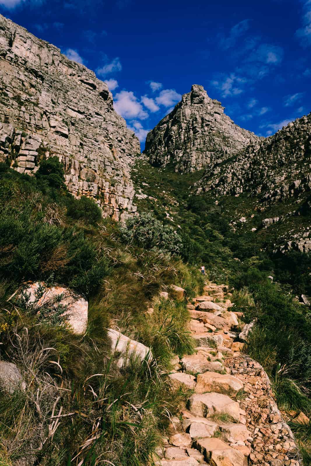
The one-hour hike to the summit of Table Mountain via Platteklip Gorge is belittled for being the least scenic, easiest and busiest of a dozen routes up. As I don’t know the other routes, I cannot judge this assessment. I can however confirm that we thoroughly enjoyed the steep scramble on the oldest route up through indigenous fynbos shrubland into the narrow gorge on our first visit to Cape Town in 2012 and again now.
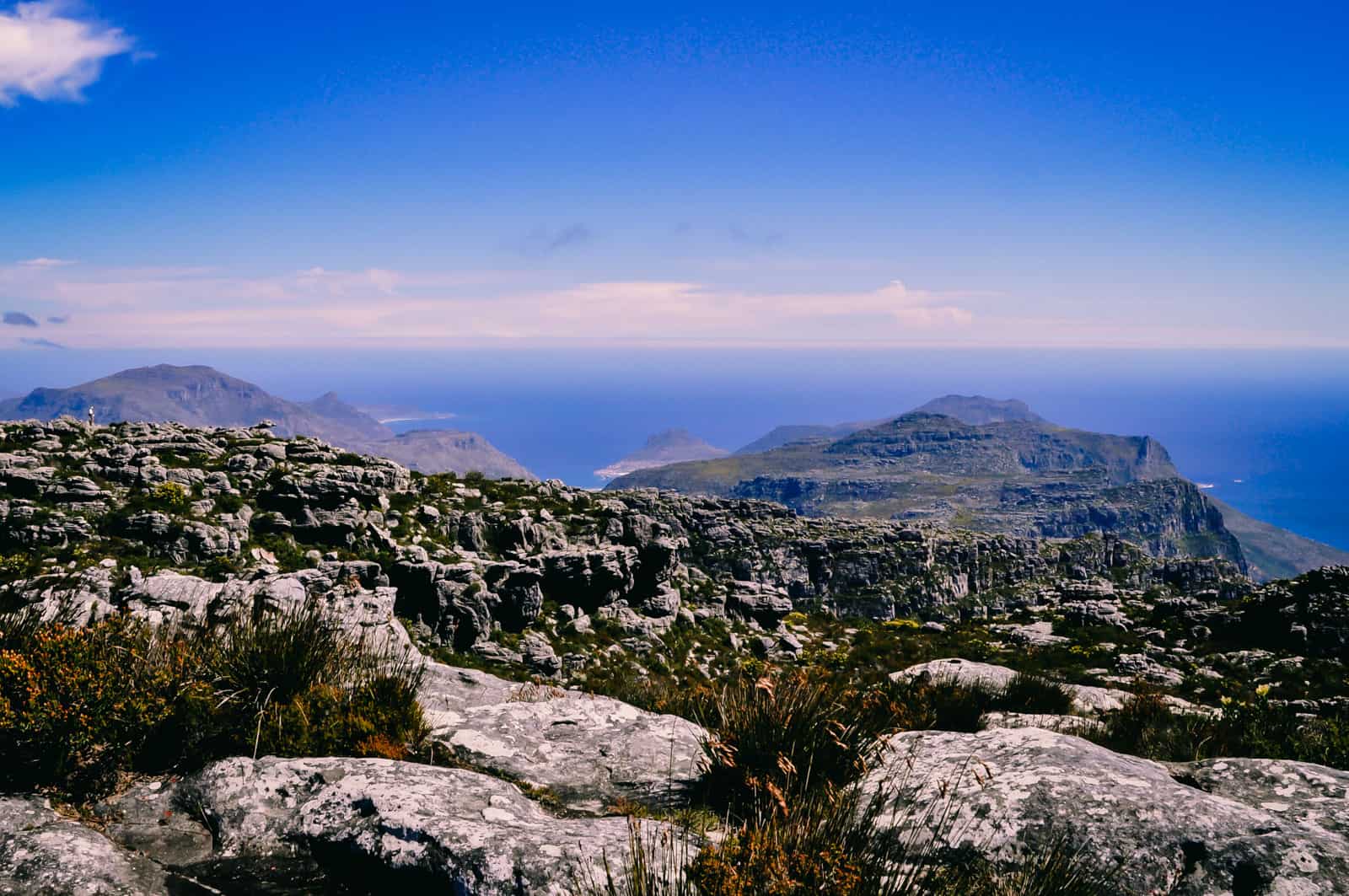
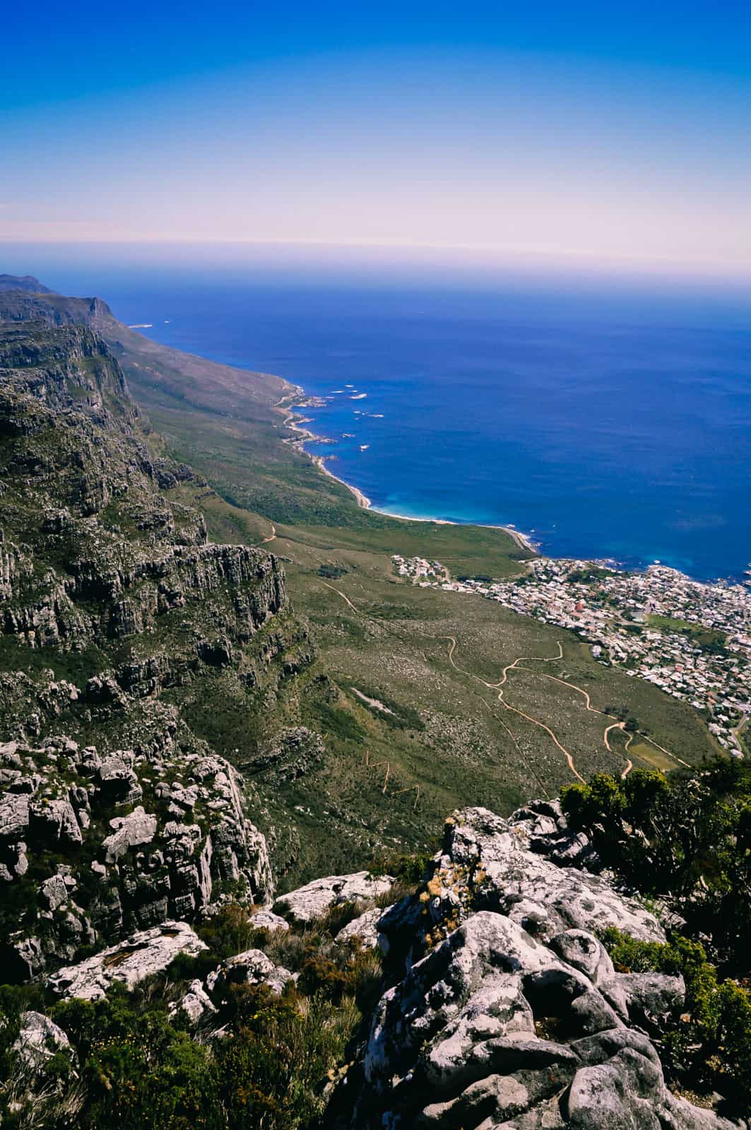
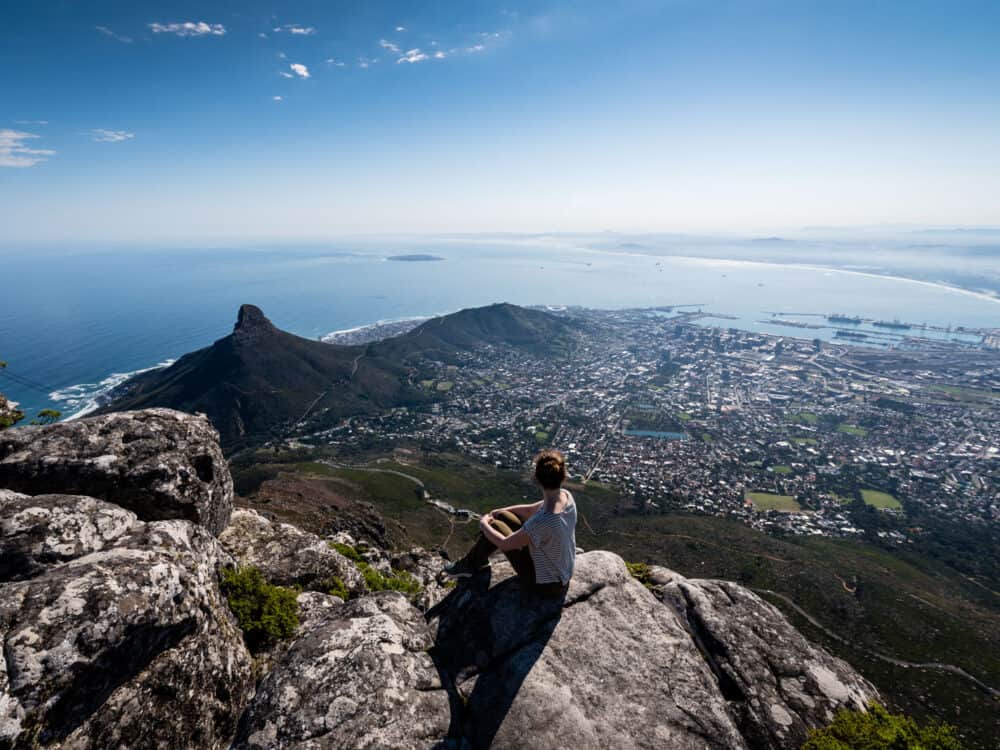
Depending on your pace, hiking Table Mountain on this route is either a relentless workout, taking big steps on a zigzagging rugged staircase of rock or it will be a steady uphill walk with plenty of stops to take in the sweeping views of the city, Table Bay, Devils Peak, Robben Island and Lion’s Head.
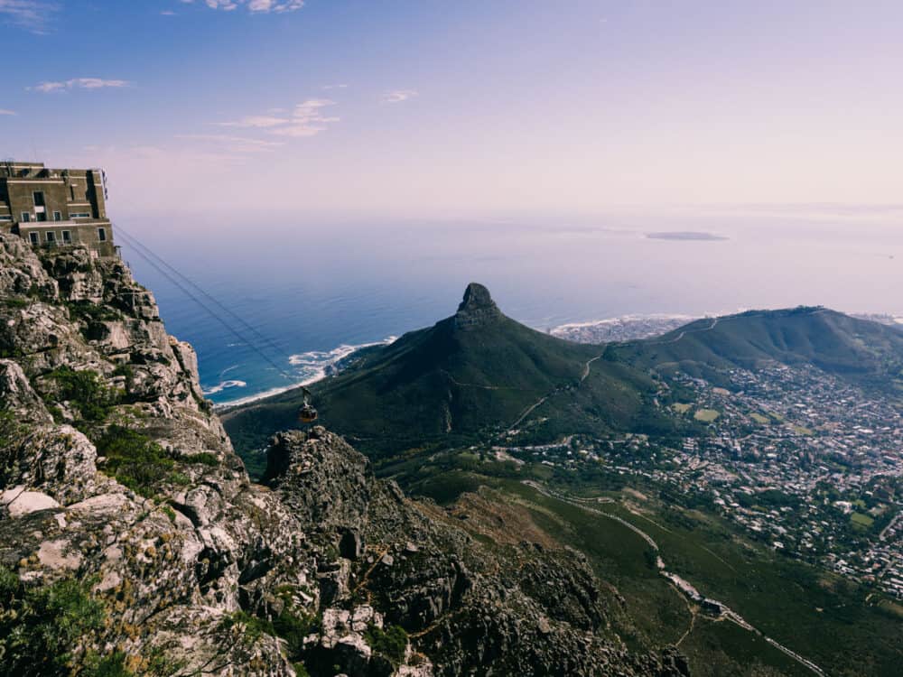
Lion’s Head is another prominent peak elevating to 669m above Cape Town and the Cape Peninsula, where we headed next.
Its shape, almost as distinctive as that of Table Mountain, apparently resembles a crouching lion, thus the name. I didn’t recognise the lion in this outcrop of sandstone and Cape Granite, but the 50-minute hike to its summit was spectacular.
It was also a little more exposed and required some easy climbing on steeper rock faces with ladders, chains, and handholds securing the trickiest sections.
related.
Explore one of the world’s best coastal walks: the Otter Trail





Cape Town | South Africa
Hike | Point-to-point trail | 1-2 hours
Hiking Table Mountain via Platteklip Gorge
The trailhead to Platteklip Gorge is located 1.5km southeast of the lower cable car station on Tafelberg Rd and marks the start of an hours prolonged climb of 640m vertical metres on a well-maintained path. Not technically challenging, the walk may still be strenuous in high temperatures.
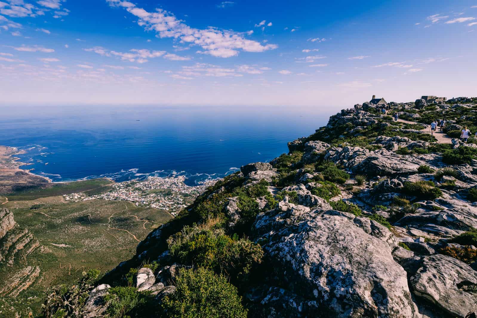
Up in the gorge, the vertical sandstone face dyed the colour of dark-grey slate as the canyon walls narrowed to a couple of metres and blotted out the direct sunlight. Once on top of the plateau, a network of paths highlights the size of the city’s urban sprawl towards the shoreline and Cape Town’s unique coastal setting.
We only cut our leisurely half-hour stroll short because we were invited to braai that evening and expecting equally great views from Lion’s Head. After a five-minute ride in a revolving fondue pot, as the Swiss built gondolas from 1997 are fondly called, we were back at the lower station. From there you can either take a taxi or head northwest on Tafelberg and Signal Hill roads for 1.8km (25min) to the start of Lion’s Head Path.
track details.
Route: lower cable car station – Platteklip Gorge – Table Mountain Plateau – upper cable car station
Distance: 4km
Time: 1:45 hours
Elevation gain: 700m (lowest point: 347m / highest point: 1045m)
Start: lower cable car station Table Mountain
End: upper cable car station Table Mountain
Note: There’s a kiosk and street vendor at lower cable car station to Table Mountain and the foot of Lion’s Head respectively but take plenty of water and warm clothes as the weather may change rapidly.



map Table Mountain hike via Platteklip Gorge
Cape Town | South Africa
Hike | Point-to-point trail | 1 hour
Lion’s Head Hike
On the 50-minute hike, the wide gravel track that eventually narrowed to a rocky mountain path, climbed 375 vertical metres and encircled the promontory more than once. This circuit offered a 360° panorama of Camps Bay, the Twelve Apostle, Table Mountain, the City Bowl, Signal Hill and Sea Point that is arguably the best in Cape Town. And we got to enjoy the same views in rewind mode on the way back to Derwent House B&B near Kloof Street.
If you’re also headed in the direction of Gardens / Tamboerskloof neighbourhood, turn right at the trail junction at 4.8km on the return route and onto a small path that will take you further up Signal Hill Road. From there, a small walkway cuts through the reserve into Tamboerskloof neighbourhood and past the German International School towards Derwent House.
track details.
Route: lower cable car station Table Mountain – Lion’s Head Path – Lion’s Head summit – Signal Hill Road
Distance: 6km
Time: 2:10 hours
Elevation gain: 433m (lowest point: 240m / highest point: 663m)
Start: lower cable car station Table Mountain
End: Signal Hill Road


