Hike | Tasmania | Australia
The stunning Cape Raoul Walk: What you Need to Know
Text | Anninka Kraus
Photography | Tobias Kraus

Australia Tasmania
Cape Raoul is one of three capes in Tasman National Park, all of which are accessible on foot and boast fabulous coastal views. Cape Raoul might not be the most popular of the three, but whilst Cape Pillar requires an overnight hike and Cape Hauy packs plenty of steps, Cape Raoul is easily accessible and a leisurely 14km return walk from the end of Stormlea Road.
We did the Cape Raoul Walk just two days after hauling ourselves up Mt Amos on the Freycinet Peninsula and a day before laboriously slogging up almost a thousand steps to Cape Hauy. And to this day, I still wonder who on earth assigned the same Grade 4 difficulty rating to all three tracks.
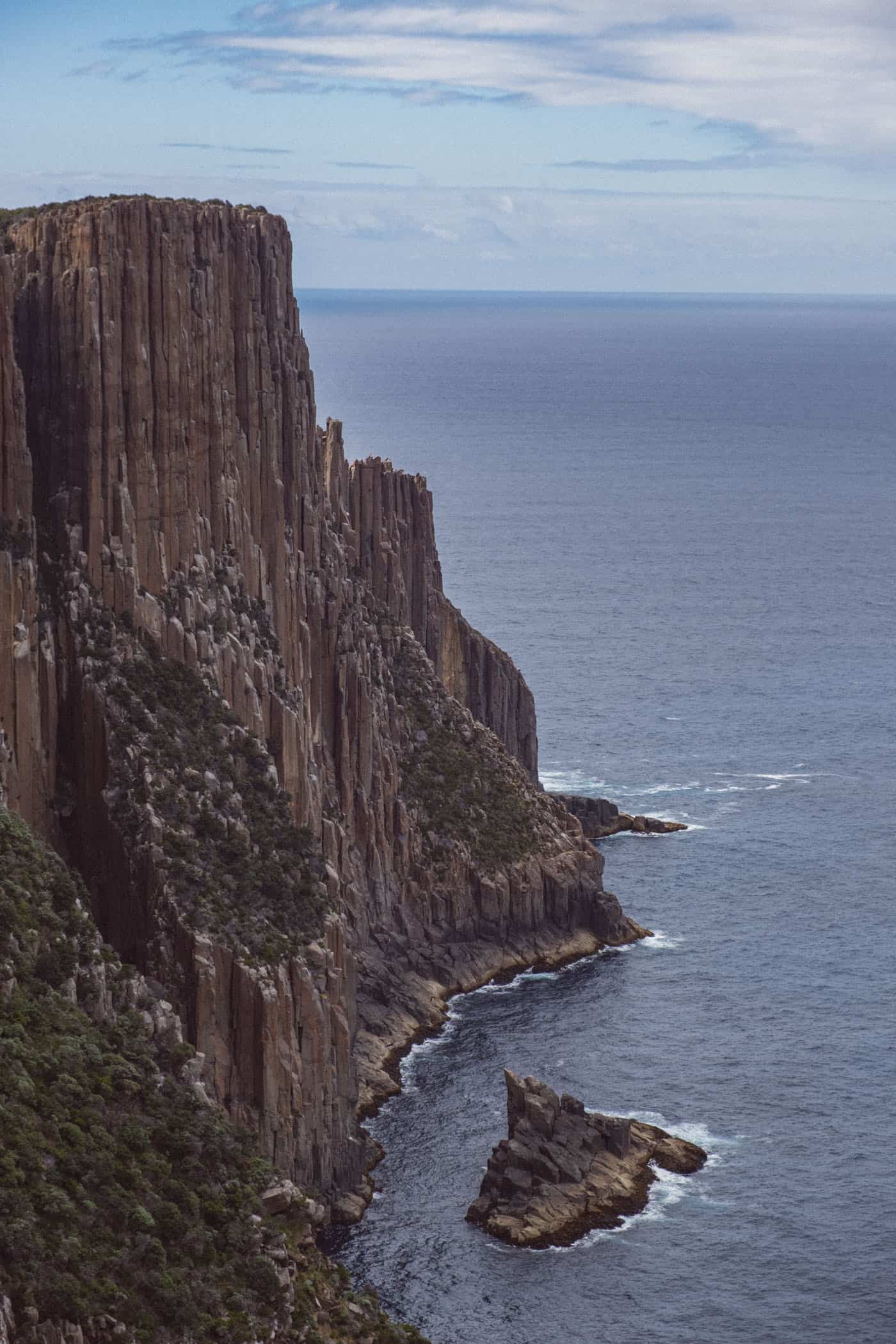
Cape Raoul is definitely the easiest of the three trails, and after walking Cape Hauy and Cape Raoul back to back, I can tell you that we enjoyed both equally. The way the two trails closely hug the rugged coastline to show you the best views of the beautiful dolerite cliffs that Tasman National Park is famous for makes both capes remarkable coastal walks.
Setting out through the bush, you’ll soon reach a trail junction with the track to Shipstern Bluff forking off to the right. Turn left instead, towards Cape Raoul, and soon, the trail will start emerging into open clearings with long views over the Cape Raoul plateau covered in low coastal scrub and across to Bruny Island in the south.
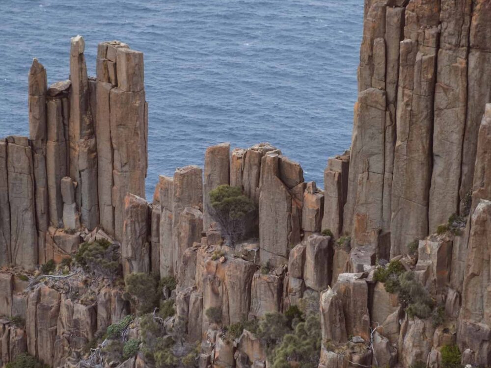
As the track descends onto the plateau, it ventures closer to the staggering dolerite columns that compose the wild, rugged coastline. The views are magnificent, but you’ll find that, most days, a stiff breeze will be running, and taking some extra layers is usually a good idea even in summer.
Just before you arrive at the trail’s end-point you’ll reach a fork in the trail. Continue down the main trail to your right for a couple of minutes, and you’ll reach the open cliff face at the tip of Cape Raoul. Then head back to the trail junction and follow the little side trail to the left, to a lookout point northeast of the cape with views of a seal colony basking on the rocks right down by the water’s edge.


Tasman National Park | Tasmania
Hike | Out & back trail | 3:30-5 hours
track details.
Start/End: end of Stormlea Road
Distance: 15.6km
Time: 3:30-5 hours return
Elevation: lowest point: 80m / highest point: 440m
Difficulty: Grade 4 (moderate); the path is well-formed, clearly signposted, and very well-maintained
Directions: The trailhead is located at the end of Stormlea Road, a 1:40-hour drive from Hobart. From Hobart, take Tasman Highway to Sorell, turn right at the main intersection and follow Arthurs Highway past Port Arthur until your reach the turn off to Stormlea Road on your left. Continue down that road to the very end where you’ll find the trailhead for the Cape Raoul Walk.
Entry Permit: All of Tasmania’s national parks require an entry permit. Depending on the length of your stay and the number of national parks you’d like to visit while in Tasmania, choose between a daily pass ($40/vehicle, valid for 24 hours) and a holiday pass ($80/vehicle, valid for 2 months).