Hike | Death Valley National Park | United States
Your Hiking Guide to the Fall Canyon Trail in Death Valley
Text | Anninka Kraus
Photography | Tobias Kraus

US California
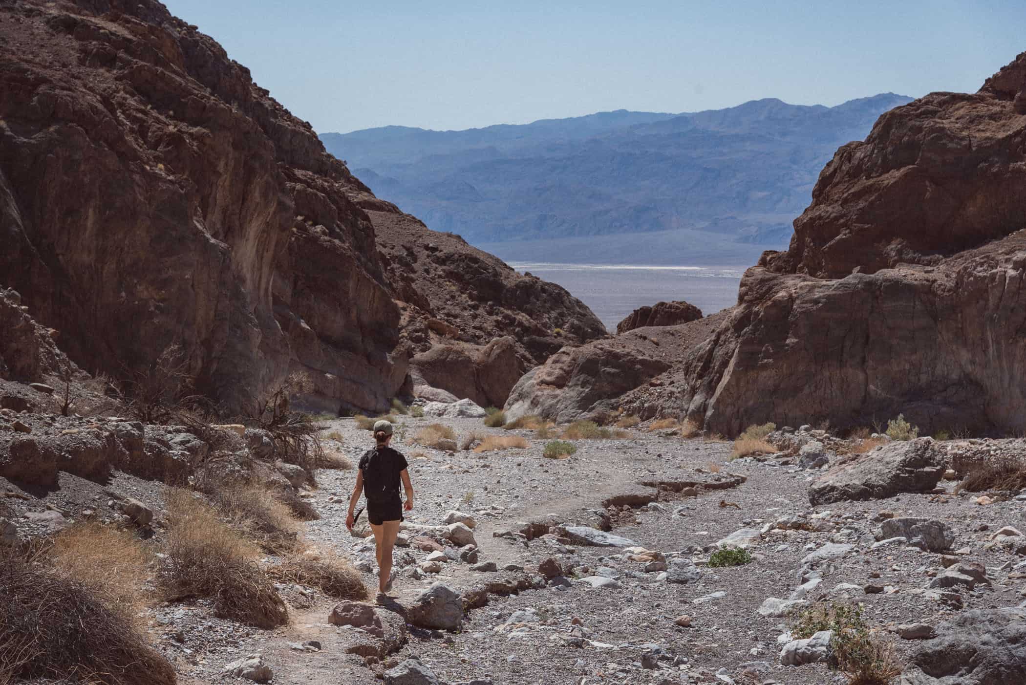
Fall Canyon is a colorful, narrow canyon in the northeast of Death Valley National Park. There are perhaps more spectacular canyons in the park than Fall Canyon, narrower, their walls more polished, with more fun rock scrambles, but Fall Canyon scores with a rich palette of red, orange and black stripes adorning the walls and a quiet, more remote desert environment that we had almost to ourselves.
The Fall Canyon Trail is a little more challenging than most other short trails in the park, but never technical and easily doable for anyone with a basic level of fitness. Without the crowds, we really loved this quiet and rewarding hike, winding among the imposing walls of the canyon. Keep an eye out for bighorn sheep.
The trail starts as a faint footpath just behind the restrooms at the foot of Titus Canyon and traverses the alluvial fan at the foot of Grapevine Mountains. You’ll have lovely views of the gently sloping valley floor before the trail drops steeply into a wide drywash, taking you to the mouth of Fall Canyon. The rest of the hike is pretty straightforward as you simply follow the pebbly wash framed by vertical winding cliff walls ever deeper into the canyon.
The trail is a faint trampled path at best, and you’ll be walking on gravel, rocks, and sand. There’s no rock scrambling required, but the incline, although gradual, adds up to a 400m elevation gain as the sheer canyon walls steadily encroach upon the canyon bottom until the trail meets a towering dry fall, a smooth, nicely sculpted rock, at the end.
Return by the same route.


Death Valley National Park | California
Hike | Out & back trail | 3-5 hours
track details.
Start/End: Fall Canyon trailhead is located along Titus Canyon Road (unpaved but 2WD accessible) that turns off Scotty’s Castle Road, north of Stovepipe Wells. Leave your car at the parking area at the mouth of Titus Canyon and look for a faint trodden path starting just behind the restroom, which will take you across an alluvial fan at the base of Grapevine Mountains to the mouth Fall Canyon.
Distance: 10.5km return
Time: 3-5 hours return
Elevation: 430 meters (+/-) (lowest point: 290m / highest point: 710m)
Difficulty: moderate; there’s no defined trail and you’ll be walking on loose gravel, sand, and rock
Best time to hike: early morning or late afternoon in late autumn to early spring
Further information: Official National Park Service website