Hike | Death Valley National Park | United States
Epic Guide to the Golden Canyon, Gower Gulch & Badlands Loop Trail
Text | Anninka Kraus
Photography | Tobias Kraus

US California
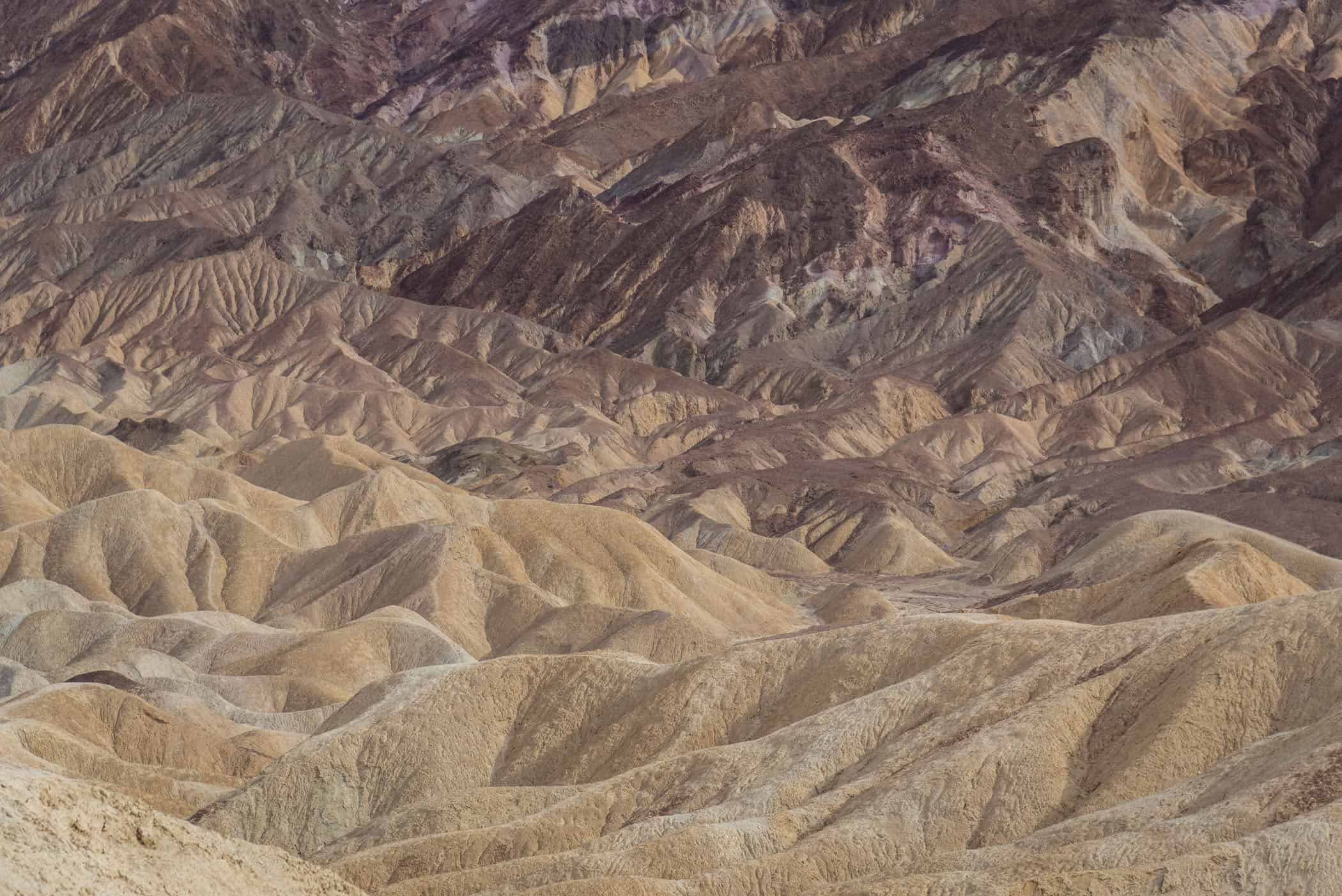
Arguably the park’s most scenic trail, the Golden Canyon, Gower Gulch and Badlands loop was our absolute favorite hike in Death Valley. This trail, more than any other, ventures deep into narrow, winding canyons, up close to the rust-colored rock face of Red Cathedral, and through the national park’s iconic maze of pastel-colored hills called badlands.
We combined the Golden Canyon, Gower Gulch and Badlands trails into a 7-kilometer circuit, starting from the Golden Canyon parking area just off Badwater Road. It was late in the day, so we skipped the optional sidetracks to Red Cathedral and Zabriskie Point, but the well-marked trail network allows you to easily include both these highlights in your hike. Please note that doing so will increase the total trail distance and walking time.
The trail will first take you deep into Golden Canyon, and if you time your visit around sunset, you’re bound to think that the winding, gold-colored walls of the canyon really live up to their name. After about 1.6 kilometers, you’ll come to a fork in the trail. Straight ahead, up a short spur trail and a 1.6km return walk back to the trail junction is Red Cathedral.
This little detour involves a bit of rock scrambling but takes you right up to the soaring reddish-brown cliffs. You’ll also see these red walls if you turn right and follow the narrow trail as it starts climbing steadily up the slope, albeit from a different perspective. The most stunning views along this trail however are across the badlands and towards Zabriskie Point in the east.
You’ll pass a turnoff to Zabriskie Point shortly after, which is a worthwhile side trip if you haven’t already been to Death Valley’s most iconic viewpoint. The trail continues to drop in elevation gradually through Gower Gulch and passes by many interesting rock formations and through narrow passages where some easy rock scrambling is required until the trail emerges from the rocky labyrinth and follows along Badwater Road back to the parking area.


Death Valley National Park | California
Hike | Out & back trail | 2-3 hours
track details.
Start/End: Golden Canyon parking area just off Badwater Road, 5-10 min south of Furnace Creek Visitor Center
Distance: 6.8km
Time: 2-3 hours
Elevation: 190 meters (+/-) (lowest point: 50m / highest point: 150m)
Best time to hike: early morning or late afternoon during the cooler winter months
Further information: Official National Park Service website