Hike | Pyrenees, Catalonia | Spain
Hiking to Estany Negre in Estany de Sant Maurici National Park
Text | Anninka Kraus
Photography | Tobias Kraus

Spain Catalonia
After hiking to the Refugio d’Amitges at Lake Amitges (Estany Gran d’Amitges) via famous Lake Sant Maurici the day before, we decided to explore the Peguera Valley (Vall de Peguera) in Aigüestortes i Estany de Sant Maurici National Park southwest of Espot next.
As you enter Espot from the east on local road LV 5004 there’s a large public parking on your left, which I’d recommend as parking further up the road at the trailhead is limited. To get to the trailhead from the parking lot on foot, you can either cross Espot through the jumble of pretty, little alleyways, which we did on the return route, or follow along the main road.
We stayed on the main road and passed a row of restaurants before we came upon a beautiful stonebridge where the road bends sharply and snakes along the back of the village. It was a short scramble up to Torre dels Moros, a mediaeval watchtower, and we arrived at Camping La Torre where Cami de Peguera, a dirt track, branches off the road.
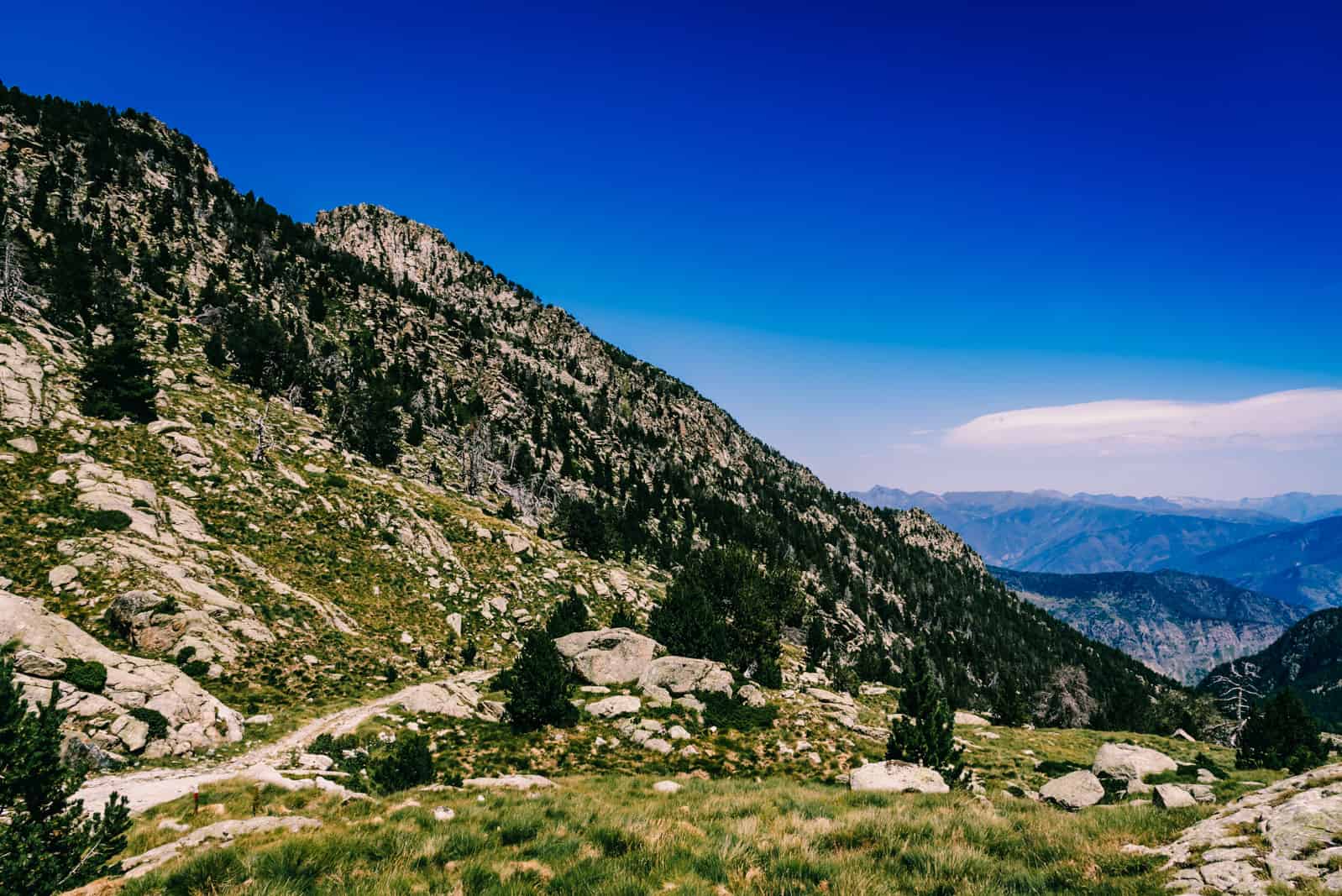
This is the start of a well-signposted hiking trail, shared with the GR 11 long distance path, to Estany Negre de Peguera and Refugi Josep Maria Blanc. The trail quickly settled into a steady uphill climb through shrub and shady woodlands into the Peguera Valley (Vall de Peguera) alongside the Riu Peguera (river), which we crossed on bridges several times.
On the first leg of the hike only little sunlight filtered through the foliage but by the time we traversed a swamp on wooden planks and reached Lake Lladres (Estany d Lladres) and the dam, the tree canopy had thinned considerably and soon gave way to open subalpine grasslands.
Past the dam and Estany de Trescuro, the hiking trail joined a dirt track and on the steep zigzagging stretch to Refugi Josep Maria Blanc, three jeeps rumbled past over the bumpy track with tourists being thrown around in the backseat. Watching them grip onto the headrests with white knuckles, we felt grateful to ascend on foot and after 2:25 hours arrived at Estany Tort de Peguera at 2300m.
The terrain flattened out along its lakeshore and a few minutes later a small trail forked off towards the Refugi Josep Maria Blanc, yet we continued on the main track for another 350m to Lake Negre (Estany Negre de Peguera). ‘Black Lake’ sounds somewhat eerie and mysterious but the water actually looked no darker to me than that in any of the other lakes. The setting of the lake however, beleaguered by rugged grey mountain slopes, was indeed a very worthy destination for this hike and we spent a half-hour scrambling across large boulders and taking photos.
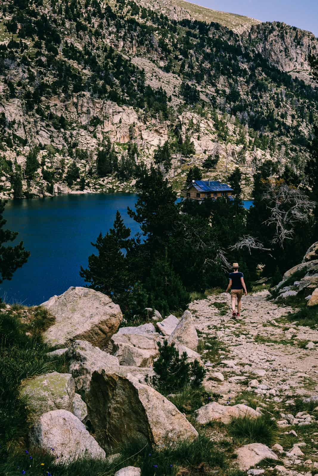
Lake Negre was the turnaround point on this route and we retraced our steps to the refugio that sits on a small rocky promontory extending into Lake Tort de Peguera and is surrounded by water and high-rising granite slopes scarcely dotted with conifers all around.
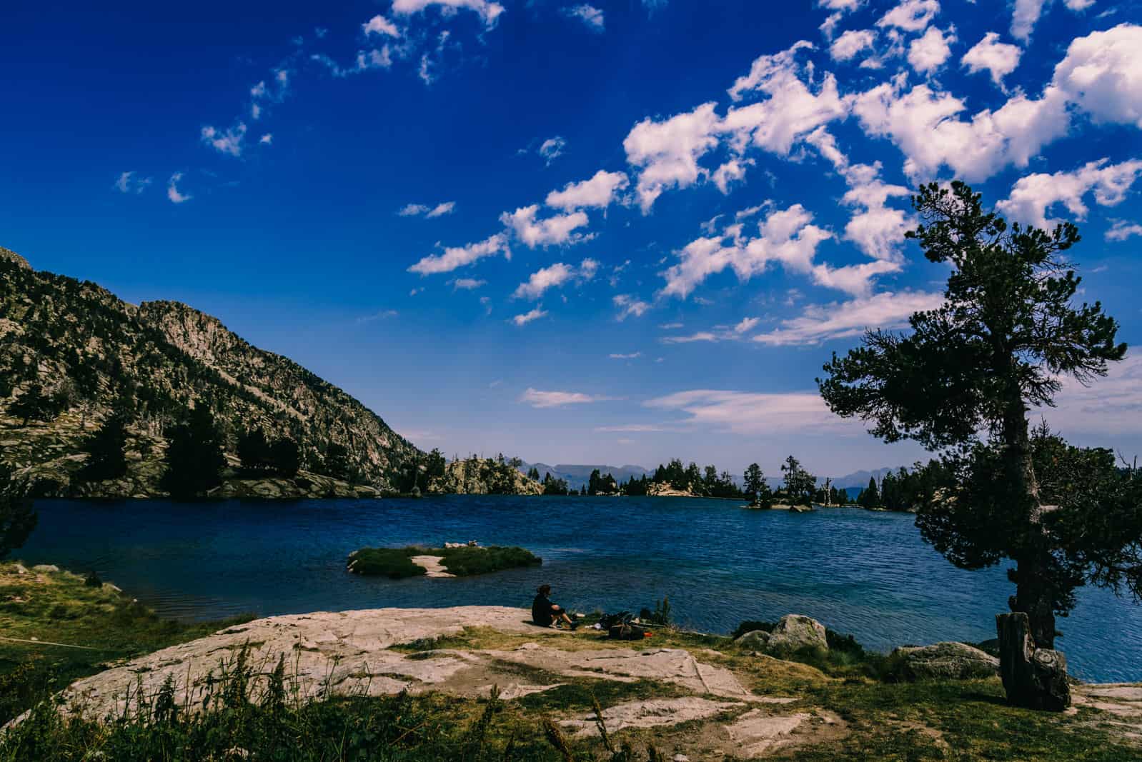
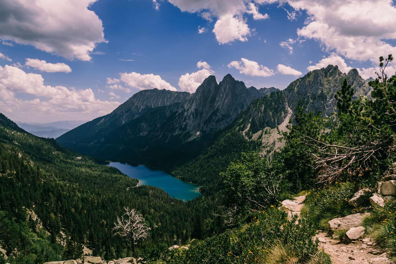
The meadow just outside the hut on the lakeshore was perfect for picnicking, resting our weary legs, and taking in the views across the water towards the valley. It was a truly marvellous spot but even on a fine day in high season we met only few fellow hikers at the hut and on the trail itself from where the lakes Lladres and Trescuro nestled in the deep valley sparkled like sapphires on the way back to the trailhead.
related.
Hike to Estany de Sant Maurici
hiking in the Spanish Pyrenees.


Estany de Sant Maurici set against the backdrop of rugged peaks all-around, dominated by the most magnificent, the sharp twin pinnacles of Els Encantats.
Pyrenees | Spain
Hike | Out & back trail | 5.5-7 hours
track details.
Route in Aigüestortes i Estany de Sant Maurici National Park: Espot town centre parking – Estany de Lladres – Estany Negre de Peguera – Refugi Josep Maria Blanc at Estany Tort de Peguera
Distance: 15.3km
Time: 5.5 hours
Elevation gain: 1066m
Start/End: Cami de Peguera at Camping La Torre (large public car park in Espot) Accommodation: Camping La Mola Espot