Hike | Rondane | Norway
An Epic 4-day Hike in Rondane National Park
Text | Anninka Kraus
Photography | Tobias Kraus

Norway
This 4-day hike starts in Dovre, south of Dovrefjell-Sunndalfjella, then cuts south through Rondane National Park, which is Norway’s oldest national park.
The Rondane is a mountainous area between the Gudbrandsdalen and Atndalen valley. Its lichen-covered plateaus and deep valleys dotted with sparkling lakes are home to one of Norway’s last wild reindeer populations and crisscrossed by many hiking trails to explore the area.
jump ahead.
related.
Discover this stunning 6-day hike in Jotunheimen National Park
map of our 4-day walk in Rondane National Park
location & park information.
Hot to get to Rondane National Park: Rondane National Park is located in Eastern Norway and the start of this hike is Hjerkinn. Direct trains run from Otta to Hjerkinn and it’s roughly 30min from Hjerkinn station to the starting point of the trek.
When to go: The best time of the year to hike in Rondane is mid-June to the end of August. Conditions may also be fine early June and September but the chance of rain and lower temperatures is higher.
Hjerkinn to Grimdahlshytta hut
After a rest day turning into a white water rafting adventure on the Sjoa River, I set off from Otta on my second hike in Norway, in the Dovre and Rondane national parks. I was to start my 4-day hike in Dovre, a small national park situated between Rondane to the southeast, and Dovrefjell-Sunndalfjella to the north.
On day 2-4, the trail cut south through Rondane National Park, which is Norway’s oldest national park.
I chose Otta for my starting point, mainly for its location, being situated in the middle of Jotunheimen and Dover/Rondane national parks. Also, this small town is easily accessible from Oslo Gardemoen airport in three hours, on one of five direct, northbound trains departing Oslo every day.
From Otta, four trains leave daily for Hjerkinn, which was the starting point of my hike in Dovre. On the 50min ride, I spotted three moose trotting alongside the tracks. I had seen reindeer in Jotunheimen, but they didn’t compare to the impressive size of moose. These are the largest deer species, being strangely bulky, and having awkward faces, as well as the males’ broad, flat antlers.
There is bus transport from Hjerkinn to Hageseter hut and campsite, but on arrival at the bus terminal, I realized that only one bus a day leaves in that direction, and it travels early in the morning. As it was, I had no choice but to start my hike to Grimdalshytta four kilometers short of the trailhead at Hageseter.
Once on the proper trail, I was still somewhat disappointed by the scenery, that didn’t boast any of the fascinating lookouts and panoramic views, I was used to from my 6-day hike in Jotunheimen National Park. The rocky mountainscape in Jotunheimen had been rough and relentless.
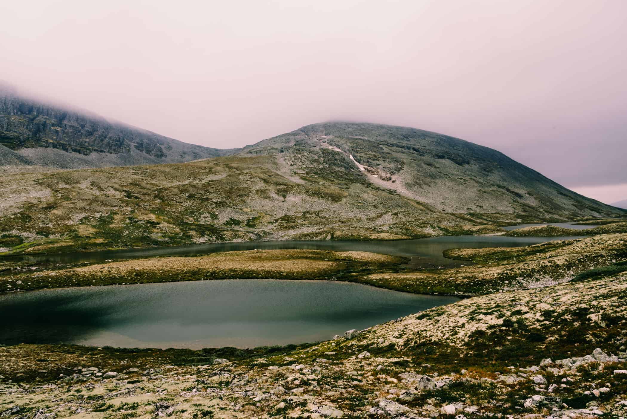
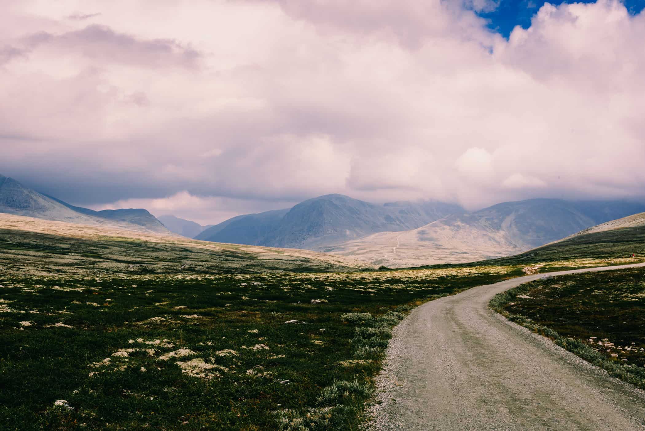
However, it was only the Fell, a barren and hilly landscape above the tree line in Rondane that felt desolate. You either experienced the alpine tundra with its low vegetation consisting of lichens, grasses and moss, but with an absence of any impressive mountain scenery, or you felt the rain that set in after two hours. Possibly it was both that turned the Fell into an uncomfortable place to be, a miserable one even.
For hours the rain didn’t abate and neither did the wind, not for long at least, before another violent gust got ahold of my pack. The exposed high plateaus offered no protection from the elements. On that first day, surprisingly, the weather was the toughest part about this hike, not the trail itself. Unlike in Jotunheimen, no balancing-across-boulders-acts were asked of me. Until I met my last challenge for the day anyway, a steep scramble up and down the steep-sided walls of Nordre Tverrae River gorge.
When I finally arrived at Grimdahlshytta hut, located a hundred meters above the Grimse River, the wind and rain had stopped. Grass grew on the roof of the black timbered buildings, with blazing white window frames and chimneys of layered native stone. The setting was beautiful and I was surprised that there were only a few campervans and no other hikers to be seen.
Compared to Jotunheimen NP, the opening stretch of my hike in Dovre was very quiet. I met only two hikers all day, therefore solitude is definitely on the side of Dovre and Rondane National Park rather than Jotunheimen.
track details.
Start: Hjerkinn
End: Grimdahlshytta hut
Route: Hjerkinn – Hageseter hut (bus service once a day) – Nordre Tverrae River gorge – Grimse River – Grimdahlshytta hut
Distance: 18.5km
Time: 6 hours Elevation gain: 600m / loss: 673m (lowest point: 925m / highest point: 1349m)


Grimdahlshytta hut to Doralseter hut
Heading towards Doralseter hut, I crossed the Grimse River and continued following the long-distance Rondanestien Trail that runs from Bjørvika in Oslo to Hjerkinn on Dovre. The trail climbed steadily through birch wood that at an altitude of 1250m, gave way to the familiar Fell.
I made good progress, and after three hours set eyes on the Haverdalsae River. What followed was a challenging descent of 200m down to the water’s edge where, for a long moment, I savored the sound of the churning river and the warmth of the sun on my face.
It was just as well I did, for I was about to work my way uphill to the highest point of today’s route at 1450m. With the heavy pack, I plodded breathlessly across barren rock towards the summit through Doralsglupen gorge. Once I exited the gorge, the trail, for the remaining 30 minutes, became much easier to walk and knowing I was on the homestretch propelled me forward until I set eyes on Doralseter hut. The homely warmth and comfort radiating from the wooden structure was tempting – just not as much as Norway’s ‘Allemannsretten’, an ‘everyman’s right’ to wild camp anywhere in open country.
Certain rules have to be respected, but at the expense of comfort, wild camping allowed me to pitch my tent at some incredible and remote places. That night, it was a patch of grass framed by trees and the trail, spreading forward towards the whitecaps bobbing up and down on the surging river.
track details.
Start: Grimdahlshytta hut
End: Doralseter hut
Route: Grimdahlshytta hut – Grimse River – Haverdalsae River – Doralsglupen gorge – Doralseter hut
Distance: 17.4km
Time: 7:20 hours
Elevation gain: 870m / loss: 751m (lowest point: 920m / highest point: 1360m



Doralseter hut to Bjornhollia hut
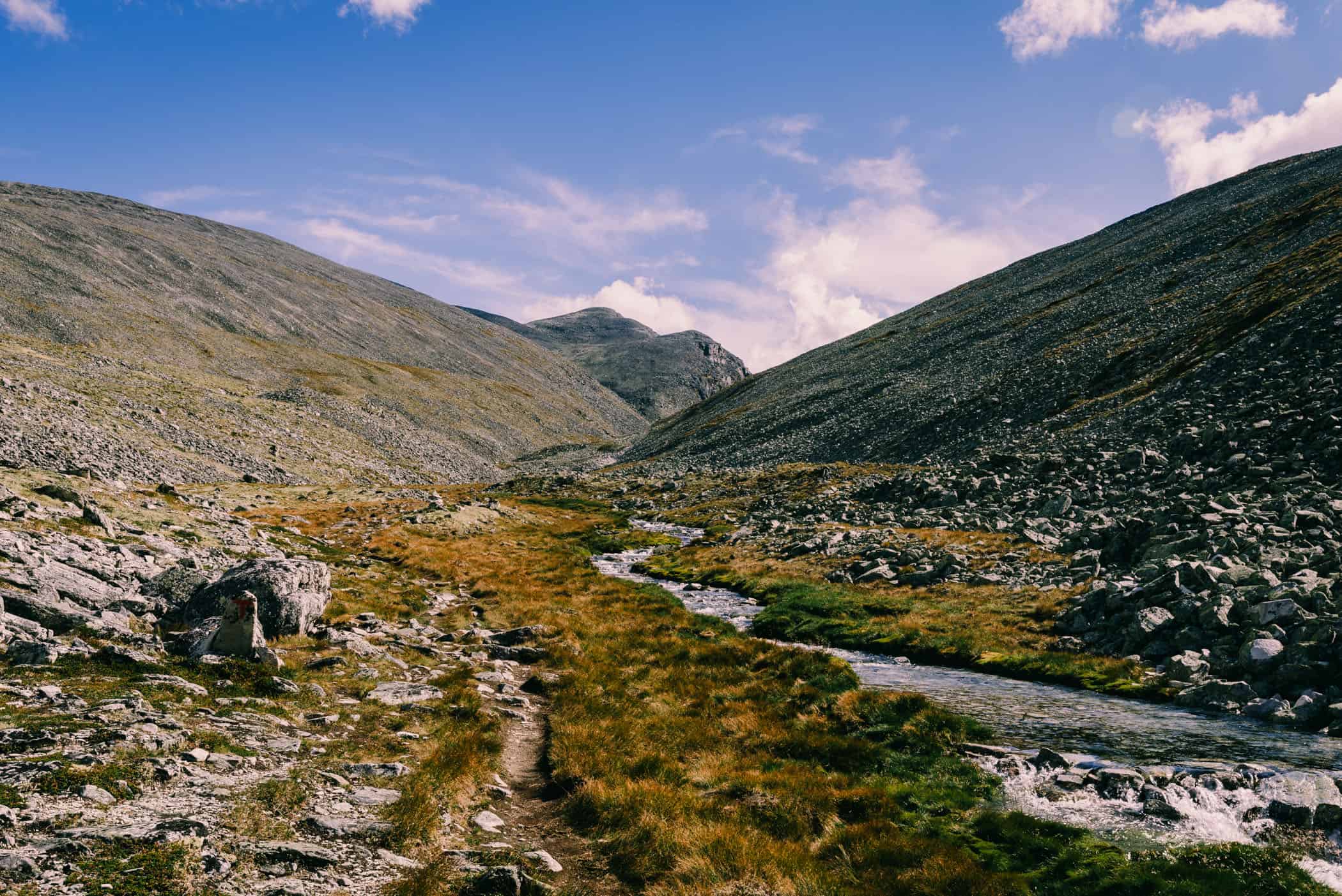
Walking uphill along the river, I was still following the Rondanestien Trail. The trail was easy to walk and required no technical expertise, but the wind, I realized after exiting the birch forest, had picked up. Strong gusts coming from different directions tossed my backpack back and forth with ease. Only when the trail climbed to today’s highest point at 1400m, did the gusting winds gradually abate in the narrowing valley.
Two hours from the summit, Bjornhollia hut at 914m came into view. The closely set contour lines on my map announced a steep ascent commencing just past the hut, which I’d rather have saved for the following day. I set out to pitch my tent, but all spots, still keeping the required distance to the hut, lacked access to water.
I strained my ears for the gurgling of water giving away a small stream, but the wind whistling through scrub and tussock grass was the only sound breaking the silence.
Tired as I was, I forced myself to continue uphill. It was probably that I had expected an earlier stop, but my motivation to continue on tired legs was wearing off quickly. However, after 25 minutes I finally came across a much longed-for creek.
track details.
Start: Doralseter hut
End: Bjornhollia hut
Route: Doralseter hut – Bjornhollia hut
Distance: 21.5km
Time: 8 hours
Elevation gain: 983m / loss: 925m (lowest point: 910m / highest point: 1420m)



Bjornhollia hut to Rondvassbu hut
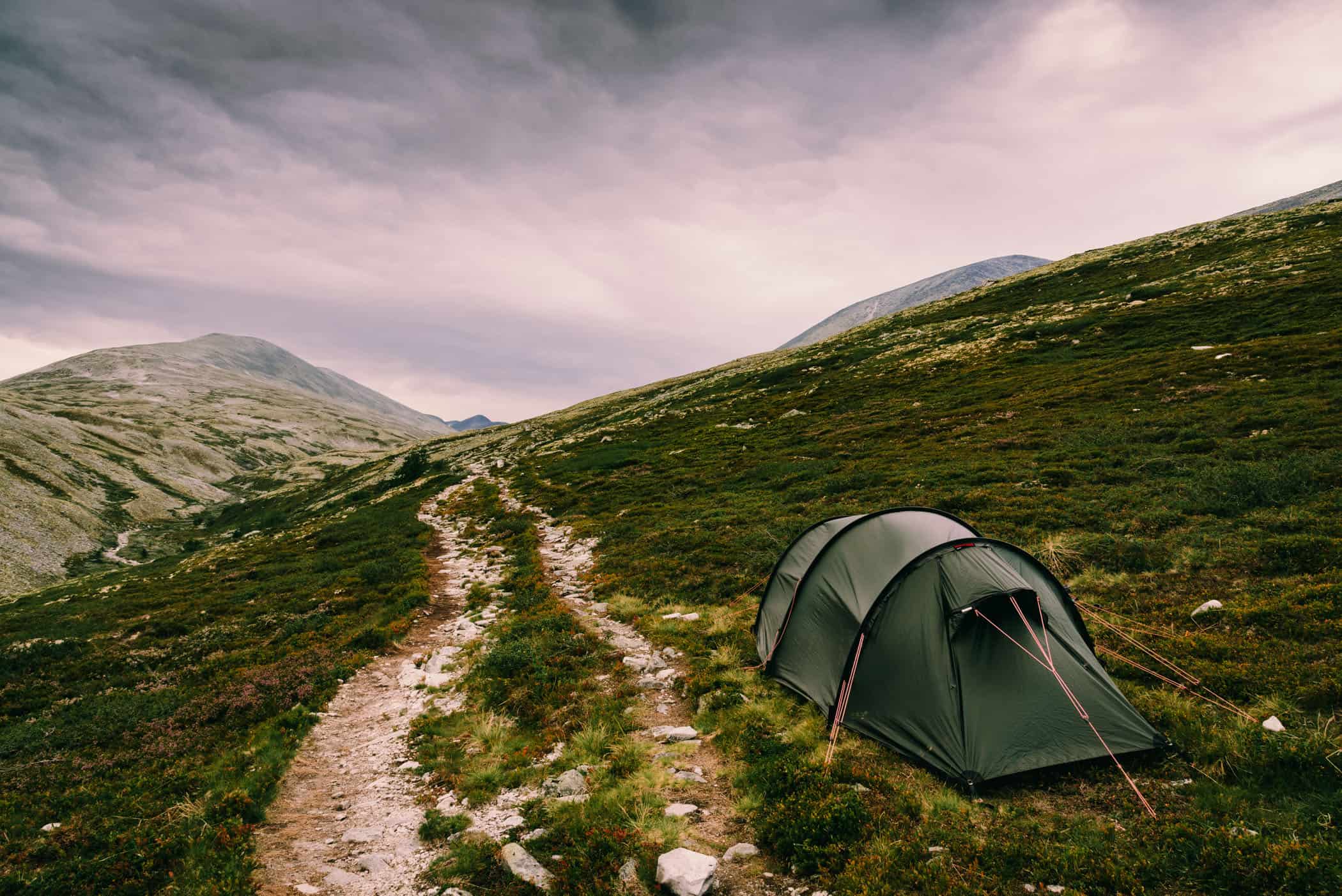
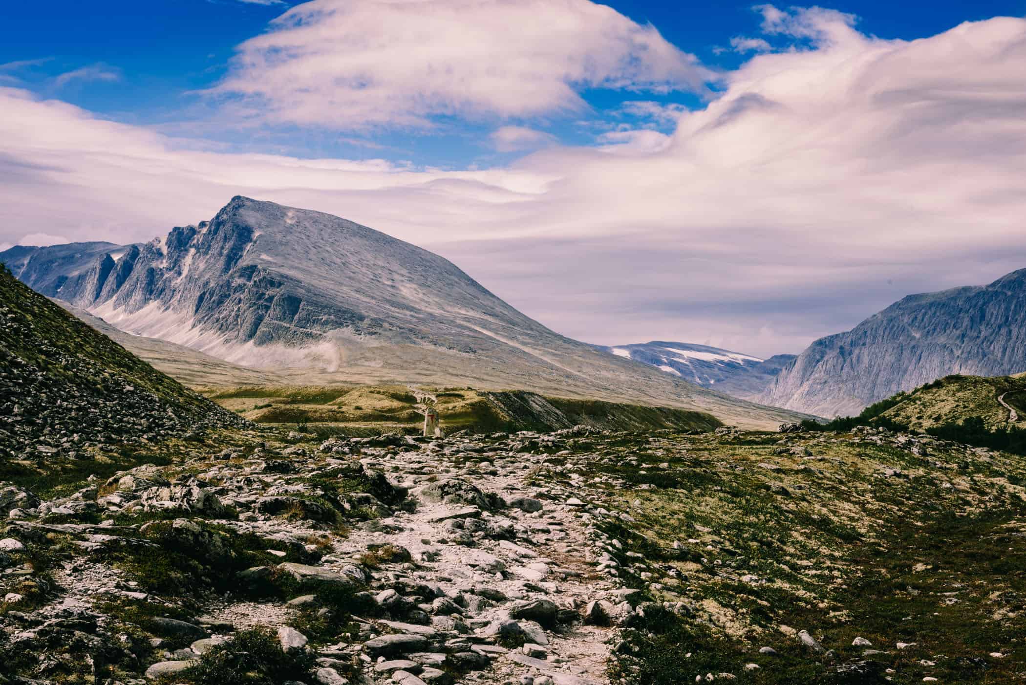
My last day hiking through Illmanndalen Valley towards Rondvassbu hut wasn’t very welcoming to start with. Low clouds, dark and dirty, stretched all the way to the horizon and fine rain fell consistently. I met some hikers again walking my way as I slowly climbed to 1280m, but silence prevailed under the featureless grey sky that lay heavy over the fell.
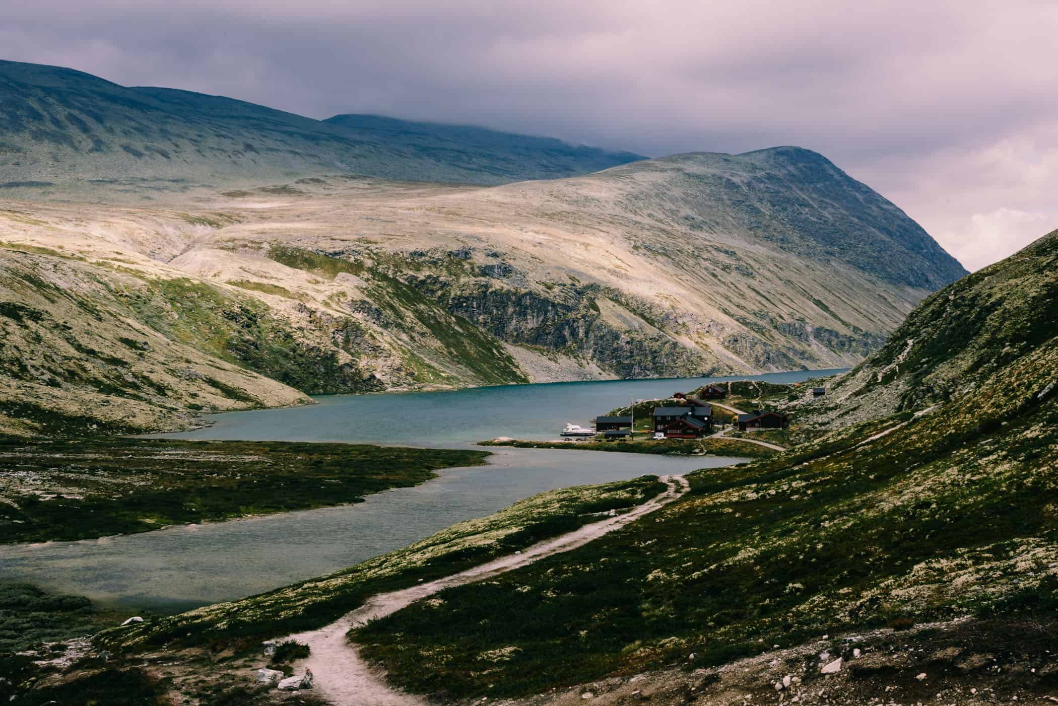
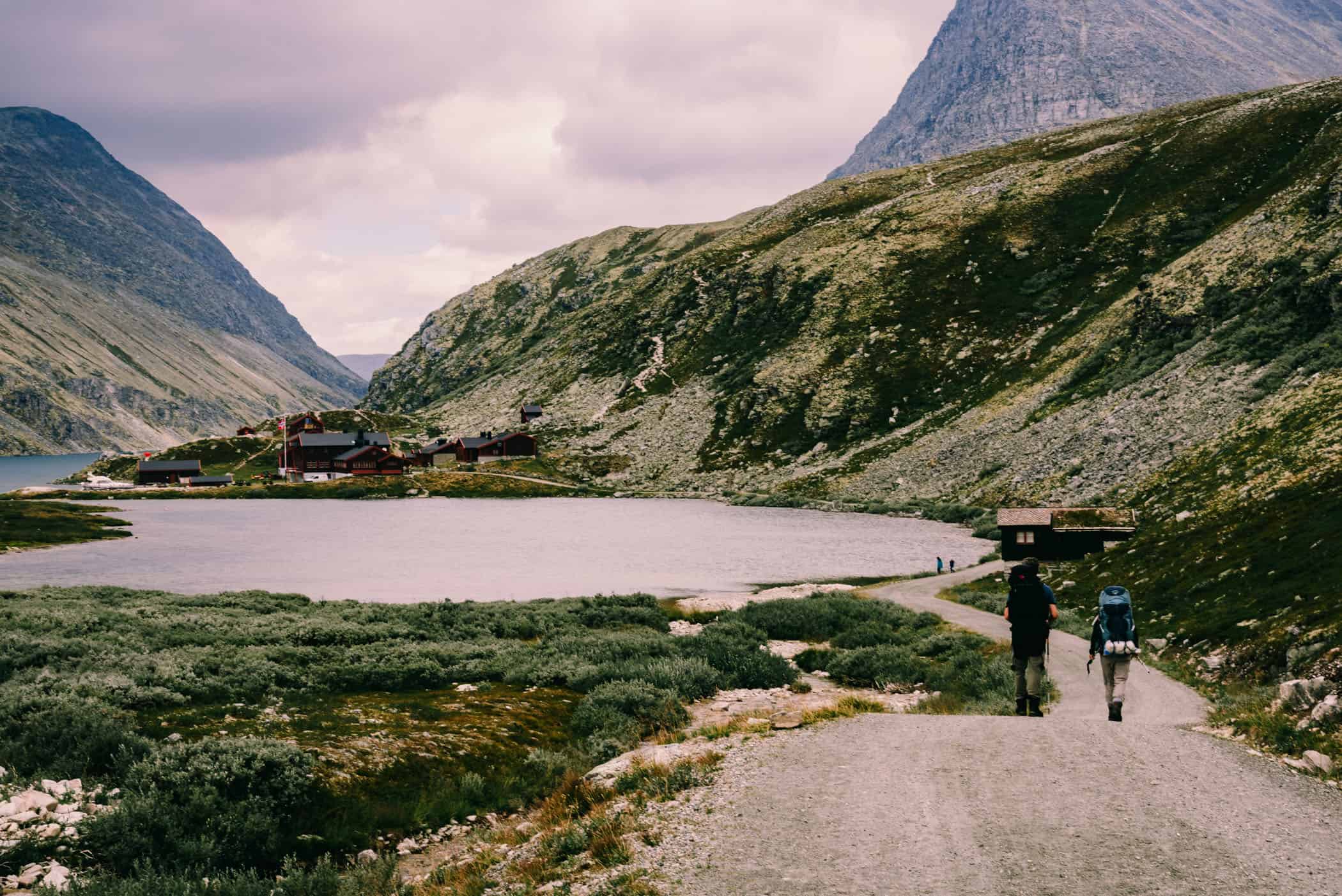
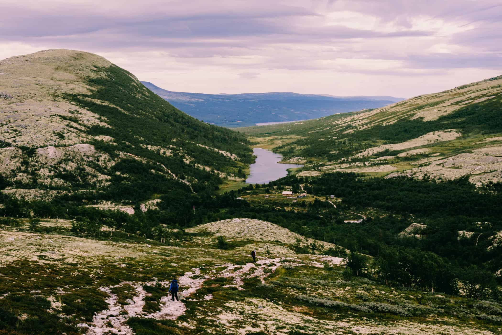
The trail winding past small lakes eventually descended towards Rondvassbu where, after three hours, I caught a first glimpse of the hut nestled on a narrow strip of flat shoreline on Rondvatnet Lake. From a distance the collection of wooden cabins spreading back towards a steep scree slope covered in moss and lichens, was dwarfed in size to the backdrop of a string of barren peaks rising majestically from the lakeshore. It was clearly a popular destination for day hikers and bikers being easily accessible.
Less than two hours down a dirt road, is Spranget parking lot, where I finished my trek with three hours to spare before the afternoon bus departure. The clouds no longer threatened rain at any moment and the lot was busy, but no visitors with cars were headed towards Otta. It was a long wait but infrequent departures were the only downside to using public transport service to Jotunheimen, Dovre and Rondane national parks.
track details.
Start: Bjornhollia hut
End: Rondvassbu hut
Route: Bjornhollia hut – Illmanndalen Valley – Rondvatnet Lake – Rondvassbu hut
Distance: 16.1km
Time: 5:20 hours
Elevation gain: 269m / loss: 290m (lowest point: 1090m / highest point: 1290m)
