Hike | Northern Territory | Australia
Kings Canyon, Australia - The best walks in Watarrka National Park
Text | Anninka Kraus
Photography | Tobias Kraus

Australia Northern Territory
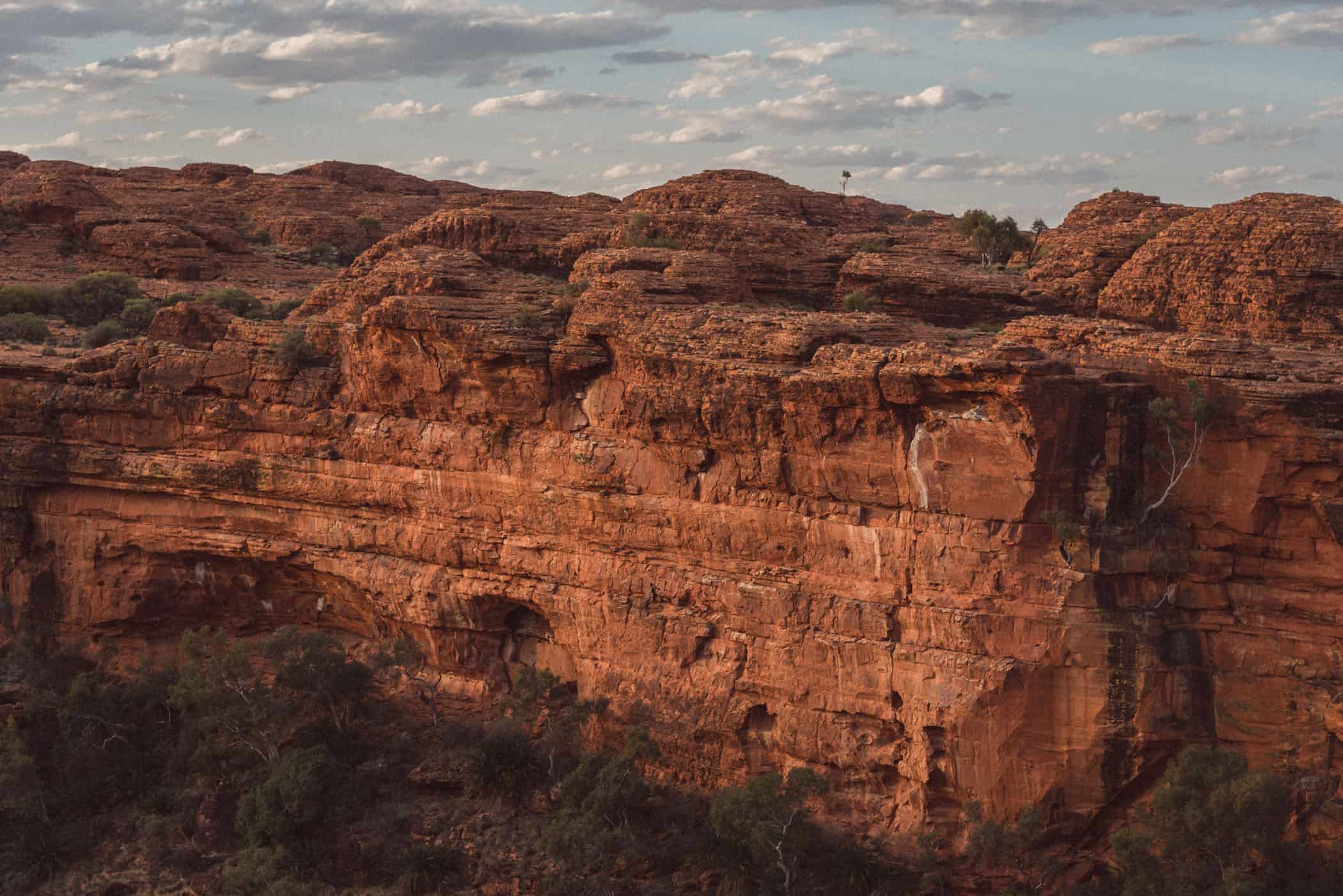
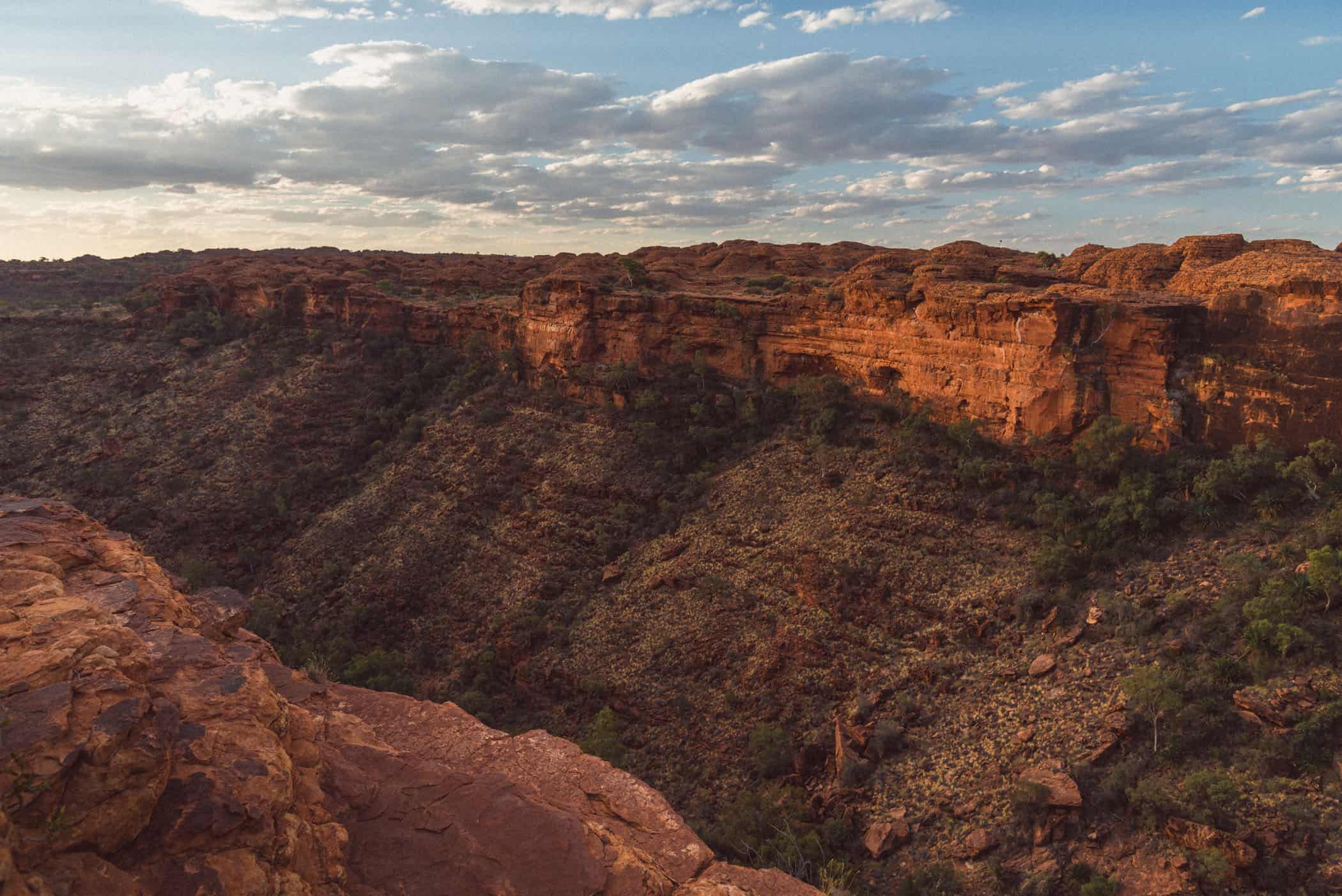
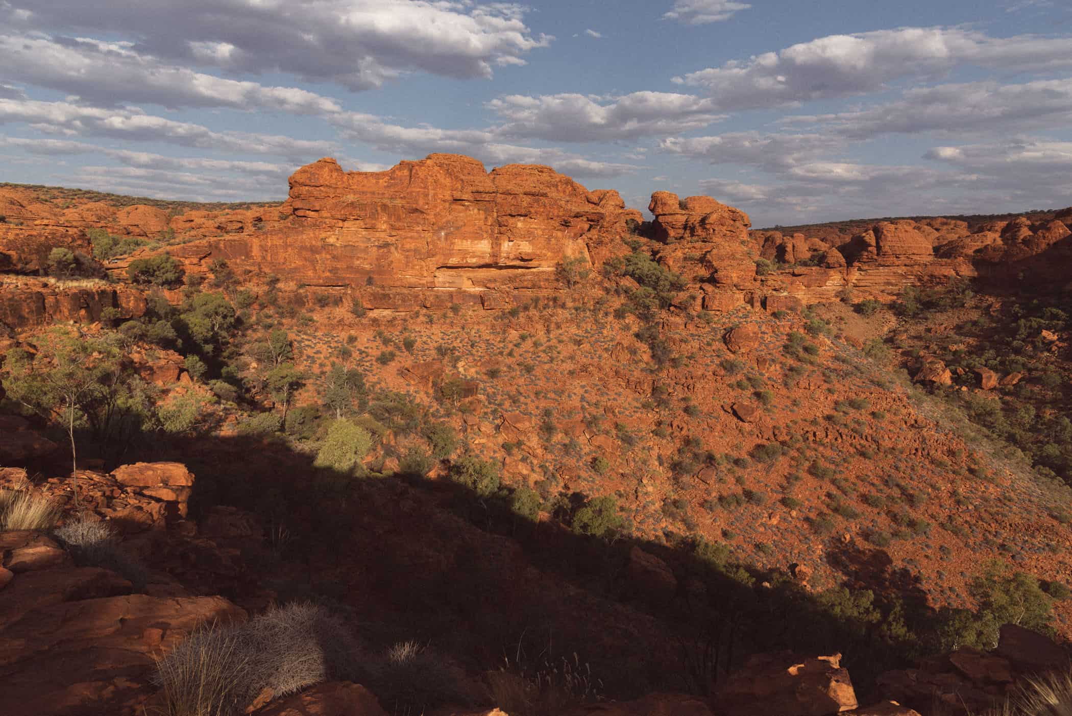
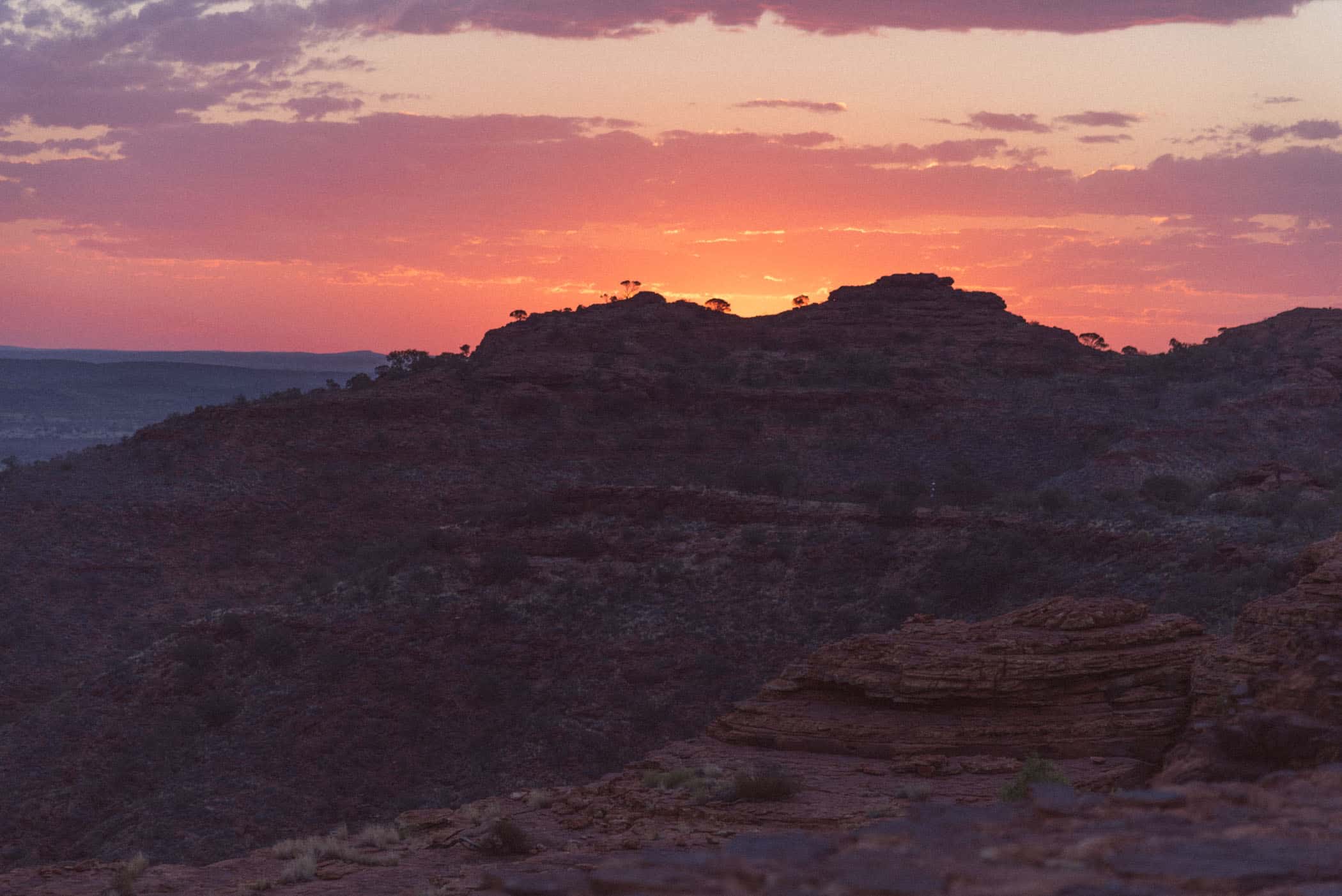
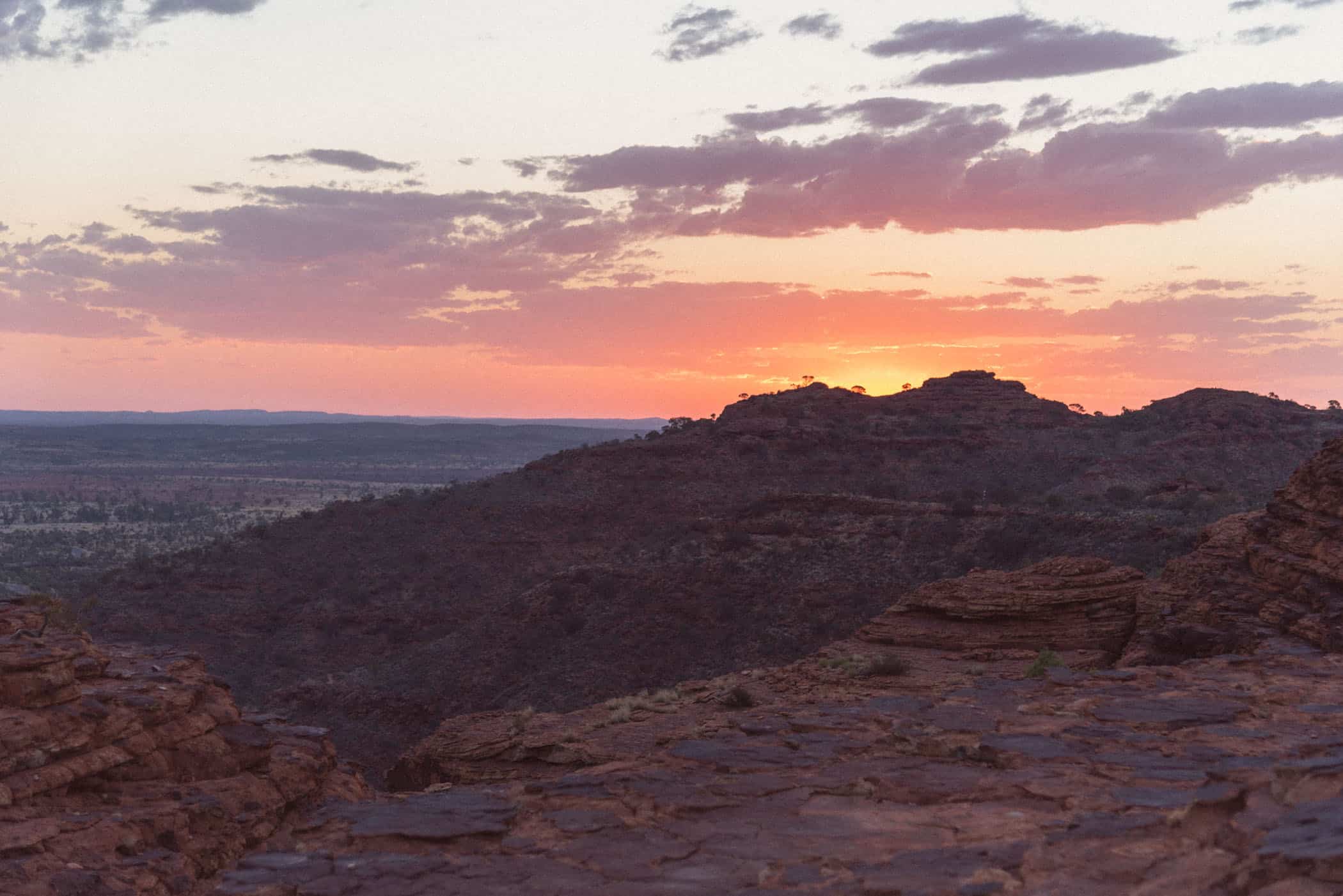
Kings Canyon, located in Watarrka National Park in the George Gill Range southwest of Alice Springs, is an enormous red sandstone gorge over 400 million years in the making. With sheer rock cliffs rising to 300 metres high, sweeping views over the desert plains from the rim’s edge, and several well-maintained walks providing access to the canyon, Watarrka is one of the Red Centre’s best-kept secrets. At sunset, the canyon is bathed in a magical, warm glow and bountiful palette of reds and purples.
While everyone knows Uluru, few people have heard of Kings Canyon, a 3-hour drive from Uluru-Kata Tjuta National Park. Even in peak season, we had the spectacular Rim Walk, one of Australia’s most iconic walks, all to ourselves. There are no park entry fees, photography restrictions, general bans on drones (a drone permit, however, is required as in any other national park), nor does the park close at night. The feeling of an outback adventure where you can freely explore the area is far greater than at Uluru, and the scenery is just as magnificent.
Several trails explore the canyon, ranging from a short, Grade 2 stroll up Kings Creek to a viewing platform at the foot of the mighty canyon walls to the 1-2-day Giles Track connecting Kathleen Springs with the canyon. If you have time for only one walk, however, make it the Kings Canyon Rim Walk and time your walk around dusk when the rock glows in the most furious shades of crimson red. The trail traces the rim’s edge where the sheer rock face drops vertically to the canyon floor, and the vast, sparsely covered plains stretch indefinitely to the west.


location & park information.
Options:
Giles Track: We would have loved to hike this 22km, 1-2-day trail between Kings Canyon and Kathleen Springs, however, there’s no transport between the start and finish, and we considered the risk of getting stranded at the finish with little chance of hitching a ride late in the day too high. Parties with two cars can leave one car at the finish. Before you set out, note your plans in the logbook provided at either end of the trail to let the ranger know your plans. Also, carry a satellite phone or personal locator beacon (PLB) as there’s no mobile phone reception along the track.
Need to know: Kings Canyon is one of the most spectacular rim walks in Australia, but expect to be pestered by hundreds of sticky flies exploring your eyes, ears, nose, and mouth as you (try to) explore the canyon. If you’ve got a face fly net, take it, and if you don’t, buy one. You’ll need it.
You’ll also need to take plenty of water on the longer walks as there’s no water available in the park. As in all other parks in the outback, heat stress is a serious risk, and on days when the temperature forecast is 36 degrees Celsius or above, access to the Kings Canyon Rim Walk will be closed after 9 am and to the South Wall Return Walk at 11 am. On the Giles Track, it is recommended to carry a personal locator beacon.
There’s free and fast public wifi available at the Kings Canyon car park.
Directions: From Alice Springs, access to the park on sealed roads is via the Stuart Highway, Lasseter Highway, and Luritja Road. From Uluru & Kata Tiutja National Park, follow Lasseter Highway and Luritja Road for the 3-hour drive to Kings Canyon.
Camping in Kings Canyon: Camping is not permitted inside the national park, but campsites are available at Kings Canyon Resort (10min to park) and Kings Canyon Station (30min to park), albeit expensive ($50/night for an unpowered campsite in 2021).
When to visit: Walking in the cooler months of winter (May – September) is the most pleasant. In summer, temperatures on the rim easily exceed 40 degrees Celsius. Know that if temperatures of 36 degrees or above are expected, access to the Kings Canyon Rim Walk will be closed after 9 am and to the South Wall Return Walk at 11 am.
Red Centre, Northern Territory | Australia
Hike | Loop trail | 2-3 hours
Kings Canyon Rim Walk
The 6-kilometre Kings Canyon Rim Walk easily ranks among our favourite ten short walks in Australia. During the day, it’s already a great walk, but at sunset, it may just be Australia’s best. Equipped with headlamps, we set out on the short but steep climb to the top just as day yielded to dusk.
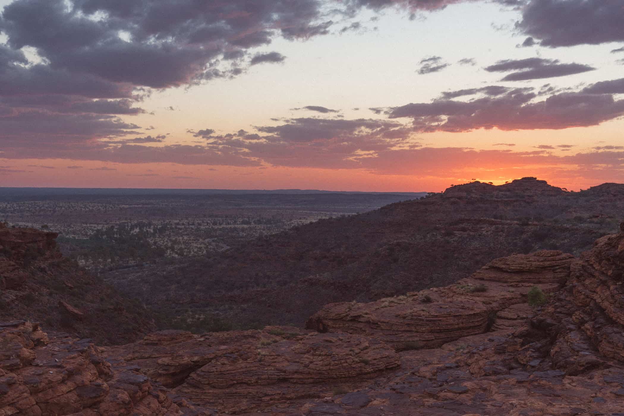
There was a warm glow to the rock for a long time that evening, but for a very brief moment, as the sun sank below the horizon, the sandstone burned in fiery reds. Even more so than at Uluru, I was aware of the rough texture of the rock, its small crevices and cracks as we sat there and watched the mighty chasm lit up in a spectacular display of light and colour.
After the steep climb to the rim’s edge, the trail ambles along atop the flat escarpment and boasts grand views every step of the way. You’ll come to ‘The Lost City’ first, a labyrinth of weathered sandstone domes, and further along the trail, descend a wooden staircase built into the canyon wall to the ‘Garden of Eden’, a permanent waterhole set in a lush green outback oasis.
The escarpment is very exposed with little shade. On days with temperatures of 36 degrees or above forecast, access to the Kings Canyon Rim Walk will be closed after 9 am. Because of a one-way gate along the track, at the end of the Southern Wall Walk, the Rim Walk can only be hiked in a clockwise direction.
track details.
Start/End: Kings Canyon car park
Distance: 6km
Time: 2-3 hours
Elevation: 220 meters (+/-) (lowest point: 625m / highest point: 765m)
Difficulty: Grade 4
Red Centre, Northern Territory | Australia
Hike | Out & back trail | 2 hours
South Wall Return Walk
The South Wall Walk encompasses the last leg of the Kings Canyon Rim Walk and climbs steeply to the rim with spectacular views of the red desert plains.
A one-way gate marks the turnaround point; therefore, you will not be able to access the rest of the Rim Walk from that direction (anticlockwise) and need to return the same way.
On days when the temperature forecast is 36°C or above, you’ll have to start on the South Wall Walk before 11 am as track access is closed then.
track details.
Start/End: Kings Canyon car park
Distance: 4.8km return
Time: 2 hours
Difficulty: Grade 3

Red Centre, Northern Territory | Australia
Hike | Out & back trail | 0.5-1 hour
Kings Creek Walk
The easiest walk in Kings Canyon, the Kings Creek Walk, is a 2.6km, Grade 2 out & back trail that ventures into Kings Creek.
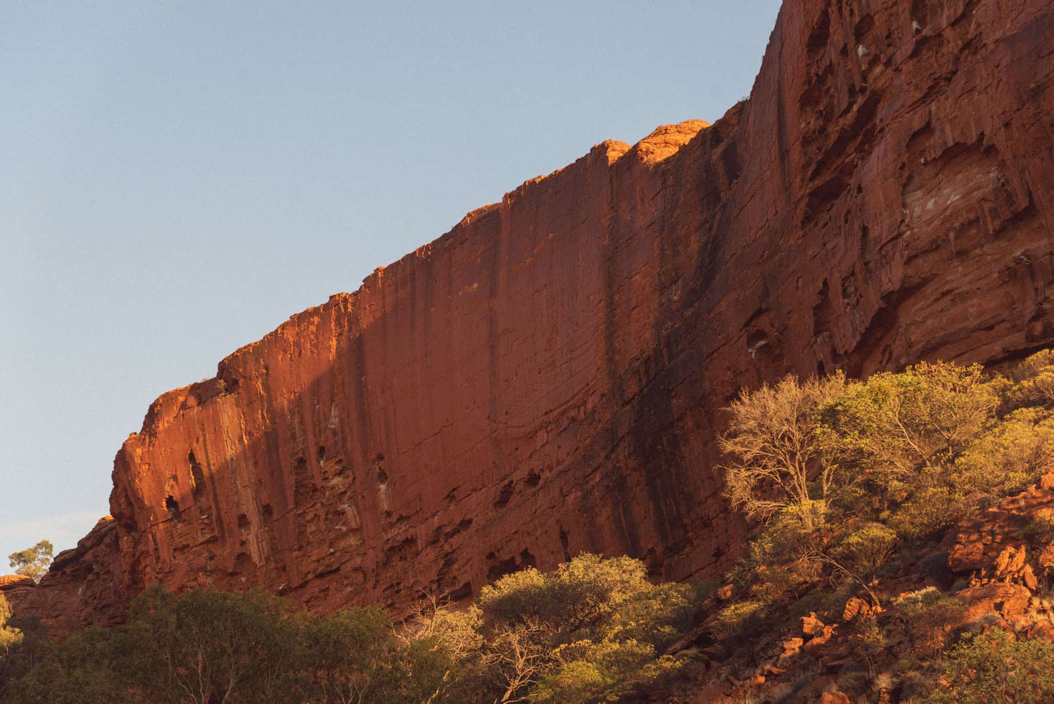
It’s a lovely walk as an introduction to the area, especially around sunset when the canyon walls glow in the changing light. The gentle, flat walkway has some shady trail sections and arrives at the viewing platform hemmed in by soaring red rock cliffs on both sides.
track details.
Start/End: Kings Canyon car park
Distance: 2km return
Time: 0.5-1 hour
Elevation: 35 meters (+/-) (lowest point: 625m / highest point: 660m)
Difficulty: Grade 2


Red Centre, Northern Territory | Australia
Hike | Out & back trail | 0.5-1 hour
Kathleen Springs Walk
Kathleen Springs Walk is a gentle, Grade 1 return walk into Kathleen Gorge to a spring-fed waterhole.
track details.
Start/End: Kathleen Springs car park
Distance: 2.5km return
Time: 0.5-1 hour
Elevation: 30 meters (+/-) (lowest point: 660m / highest point: 690m)
Difficulty: Grade 1


