Walk | Wellington | New Zealand
The Northern Walkway in Wellington
Text | Anninka Kraus
Photography | Tobias Kraus

New Zealand Wellington
The Northern Walkway explores the Town Belt between Wellington’s Botanic Garden and Truscott Avenue in Johnsonville.
The trail runs parallel to the Skyline Walkway, to the north of the CBD, but keeps mostly to lower elevations. It also has some long trail sections passing through beautiful forest and bush that provide shelter from the wind, making it a lovely walk to explore on a day when the notorious Roaring 40s are hitting the hilltops.
Although, on such a day, you might want to skip the ascent of Mt Kaukau towards the Johnsonville end of the trail as the summit is also quite exposed.
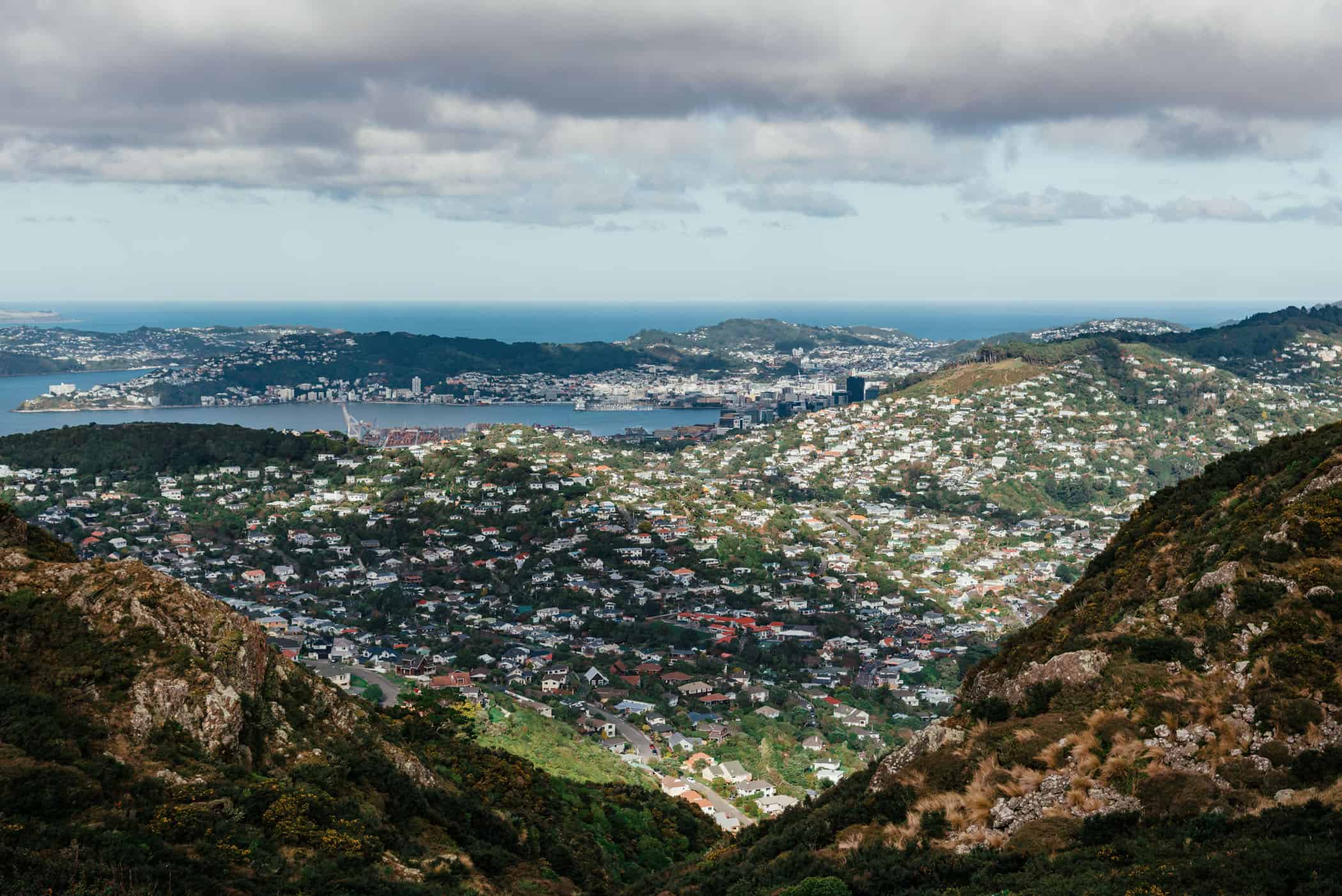
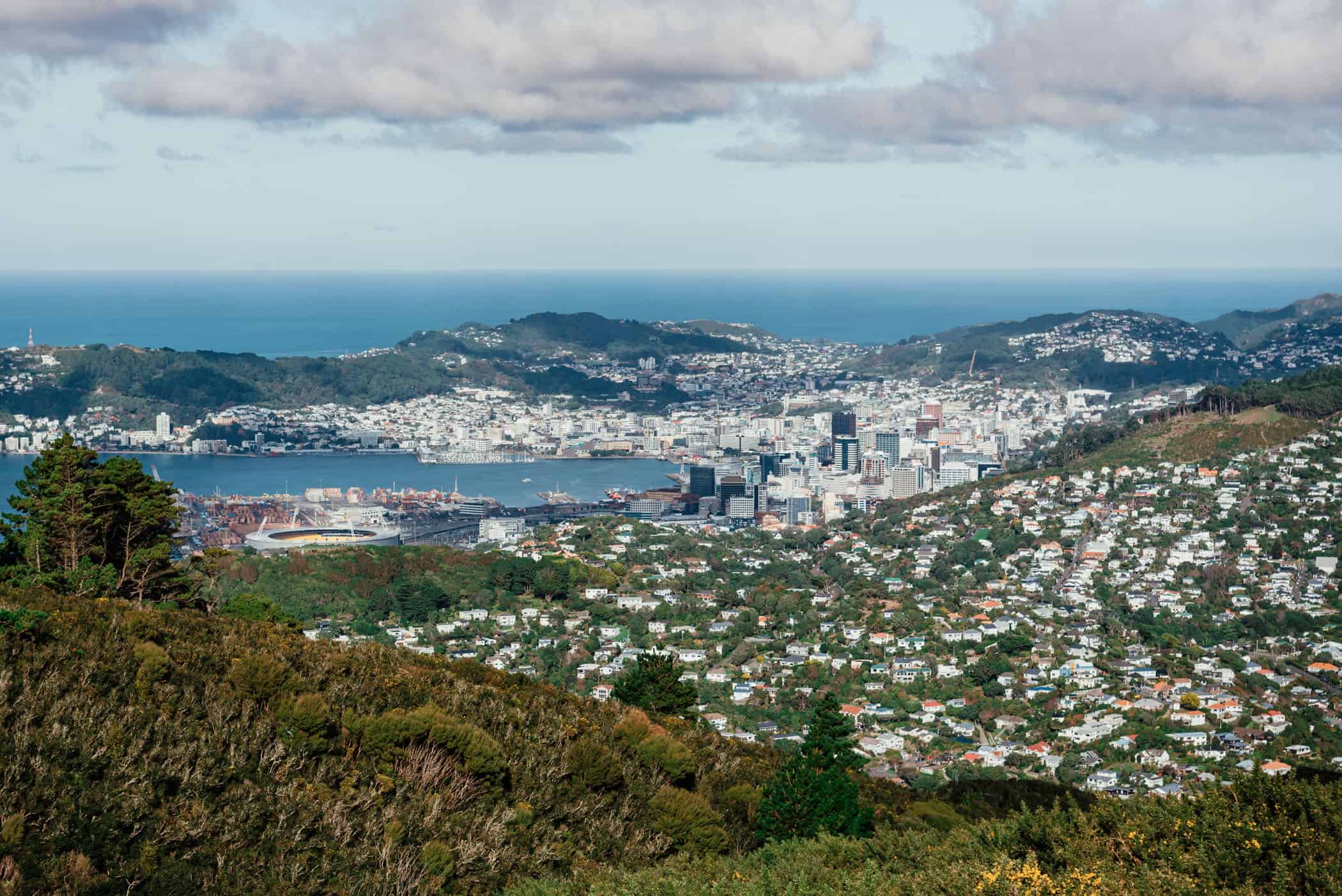
Starting from the Cable Car terminal in the Botanic Garden, the trail leads north across Tinakori Hill with some nice views out towards the harbour and Westpac Stadium. Back down the other side of the hill, a short amble through the residential streets of Wadestown takes you into Trelissick Park and through Ngaio Gorge before the trail enters Cumming Park and then Khandallah Reserve, one of New Zealand’s oldest parks with 60 hectares of native bush.
On a stormy day, this is probably as far as you’d want to go, as the climb up the southern side of Mount Kaukau is quite exposed as you draw closer to the peak.
Standing at 445 metres above sea level, the hilltop is usually battered by strong winds but has wonderful panoramic views of the city, port, and surrounding hills.
At the top of Mount Kaukau, the Northern Walkway meets the trail junction with the Skyline Walkway. The latter heads south towards Makara Saddle if you’re keen on a lovely amble across the wind-whipped hilltops, while the Northern Walkway on the homestretch descends through Johnsonville Park and an abandoned tunnel to the finish at Truscott Avenue and nearby Raroa train station.
The Northern Walkway also connects with the City to Sea Walkway in the Botanic Garden and linking the two walks will take you from Johnsonville to Island Bay.


Wellington | New Zealand
Walk | Point-to-point trail | 4-6 hours
track details.
Start: Botanic Garden
End: Truscott Avenue in Johnsonville
Directions: at the track end in Johnsonville, trains back to the city centre depart from nearby Raroa train station
Distance: 14.6km
Time: 4-6 hours
Elevation gain: 735m / loss: 690m (lowest point: 40m / highest point: 435m)
Difficulty: easy-moderate
Best time to walk: all year
Options: the track is also suitable for trail running
Further information: Wellington Regional Trails website