Hike | Mount Aspiring National Park | New Zealand
Hiking the Rees-Dart Track in Mount Aspiring National Park
Text | Anninka Kraus
Photography | Tobias Kraus

New Zealand Otago
The Rees-Dart Track is a rewarding 59km alpine trail at the head of Lake Wakatipu that links two wide glacial valleys in Mount Aspiring National Park, the Rees and Dart valleys, on a 3-5-day hike.
Circuiting glacier-capped Mt Earnslaw/Pikirakatahi, at 2830m the national park’s second-highest peak, the trail highlights the sublime alpine scenery of towering mountain ranges densely cloaked in beech forest that transition into fragile subalpine and alpine terrain at higher elevations. Separating the two valleys is Rees Saddle, an alpine pass at 1471m with long views into the valley towards Mt Edward.
The Rees-Dart Track is not a Great Walk and often referred to as a rougher, less crowded, and cheaper alternative to the popular Routeburn Track, but to think of this spectacular back-country hike merely as a fall-back option would be unjust.
The track can be walked in either direction and offers the option of a side trip to Cascade Saddle or Dart and Whitbourn glaciers from Dart Hut.
Although not technically difficult, it’s a demanding tramp that should only be attempted in summer by hikers with adequate backcountry experience and route-finding skills.
jump ahead
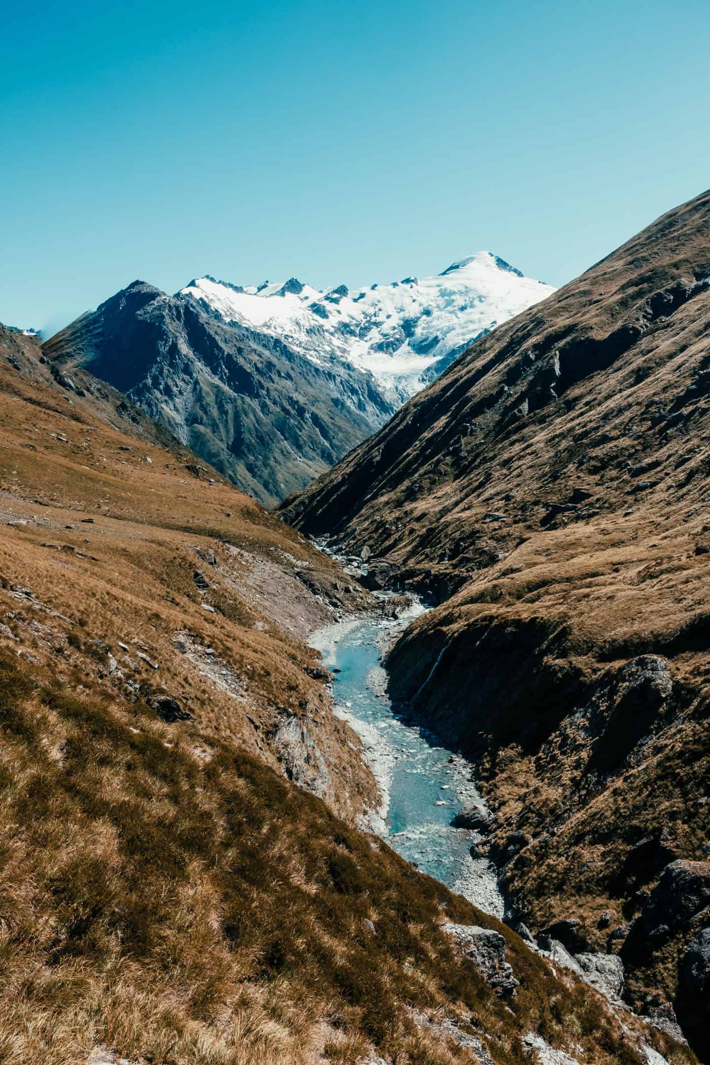


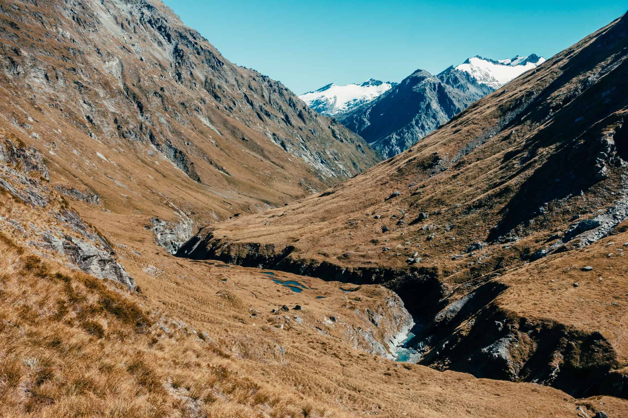

The Rees-Dart Track following the turquoise Dart River in Mt Aspiring National Park.
location & park information.
Directions: Access to either car park from Queenstown is via Glenorchy. A 4WD is recommended as there are a number of fords to cross, but may not be necessary in fine weather. If you have a rental, I’d recommend taking a shuttle from Queenstown or Glenorchy with Glenorchy Journeys. The fine weather road to Chinamans car park is prone to flooding and may become inaccessible also for 4WD vehicles. In that case you’ll have to walk another 6km to Paradise to meet transport there.
Best time to hike: This hike is best done between December and April | outside of these months, snow, ice, and the risk of avalanches can make the track hazardous | Snowy Creek footbridge is removed every year and not returned until December or when the snow clears | check the weather forecast carefully before this hike, it should not be attempted in adverse weather
Accommodation on the Rees-Dart Track: Three DOC huts provide basic accommodation on the track with rangers present from November until late April (heating, mattresses, water supplied, but carry your own cooker). Bookings are not required (first come first served principle) but Backcountry Hut Tickets must be purchased at a DOC visitor centre in advance. Camping is also permitted, by the huts and along the track except between Shelter Rock Hut and Dart Hut. A $5 fee per night per adult applies ($2.50 per child).
Shelter Rock Hut: 22 bunks, flush toilets, $20 per adult per night
Dart Hut: 32 bunks, flush toilets, $20 per adult per night
Dalsey Flat Hut: 20 bunks, $20 per adult per night
Mount Aspiring National Park | New Zealand
Hike | Point-to-point trail | 3-5 days
track details.
Start: Muddy Creek car park, 68km from Queenstown
End: Chinamans car park, 76 km from Queenstown
Route: Muddy Creek – Shelter Rock Hut – Dart Hut – Dalsey Flat Hut – Chinamans car park and shelter | the track can be walked in either direction, but is described in anti-clockwise direction in this post | Official track distances (these tend to be longer than the distances we measured):
Day 1: Muddy Creek – Shelter Rock Hut 19km, 6-8 hours
Day 2: Shelter Rock Hut – Dart Hut 4–6 hr, 10 km
Dart Hut – Daleys Flat Hut 5–7 hr, 18 km
Day 3: Daleys Flat Hut – Chinamans car park 5hr30min—7hr30min, 16km
Distance: 59km (Official DOC estimate: 73km)
Time: 3-5 days
Elevation: gain: 2020m / loss: 2125m (lowest point: 415m / highest point: 1471m)
Difficulty: medium – advanced; the track varies between a tramping track (mostly unformed but marked with poles/markers/cairns) and a route (unformed, high-level backcountry skills and experience required)
Options: Plan in an extra day for side trips to Dart Glacier (2–3 hr, 7 km one way), Cascade Saddle (4–5 hr, 10 km one way), or Whitbourn Glacier (2–4 hr, 7 km one way – note that the track to Whitbourn Glacier is neither signposted nor maintained.)
Permits: none required, but Backcountry Hut Tickets or an Annual Hut Pass must be purchased in advance to stay at any of the huts
Further information: Official DOC information
Day 1: Muddy Creek - Shelter Rock Hut
Muddy Creek at the end of Rees Valley Road is the eastern trailhead for the Rees-Dart Track and commences with spectacular views of the snowcapped mountains and Mt Earnslaw/Pikirakatahi on the opening stretch.
The 4WD road that meanders across farmland is a gentle start into the track and gives not an inkling of what is to come shortly after – a boggy section marked with poles strung across the river flats beyond Arthurs Creek where we sink into mud up to our calves. We’ve had no rain for at least a week and I really can’t imagine what it’s like walking this section in wet weather.
Eventually, the track climbs up from the river flats and proceeds across soggy grasslands to a swing bridge at the Mount Aspiring National Park boundary where it disappears into beech forest. It’s a lovely walk through the forest, on a solid, dry path at last, past Clarke Slip to the tree line.
The track then passes through several gullies (these are avalanche paths – take care in spring/early summer!) and pockets of subalpine shrublands and moves across a footbridge back to the eastern bank of the Rees River. Shortly after, we see Shelter Rock Hut huddled into the steep mountainsides of the Forbes and Richardson mountains.
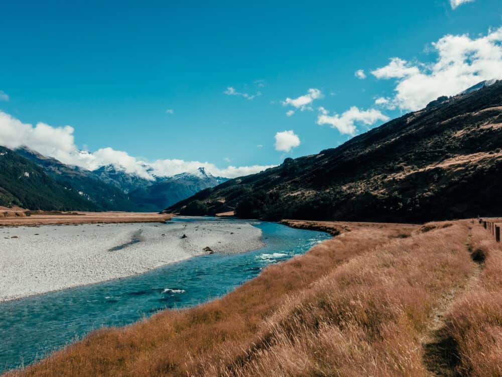
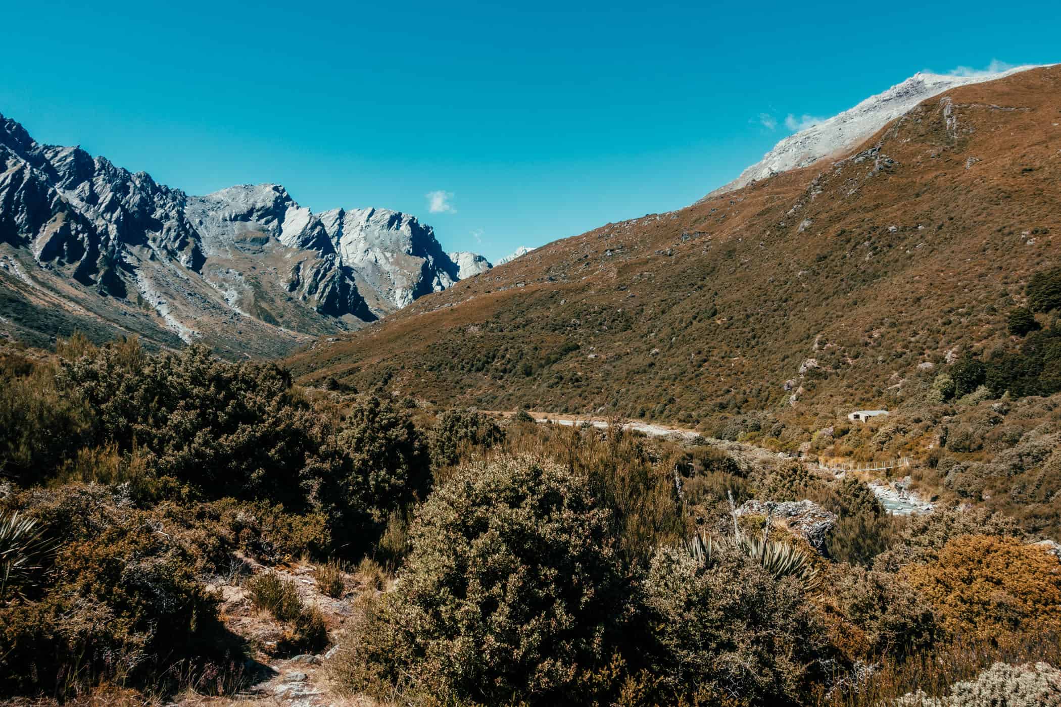

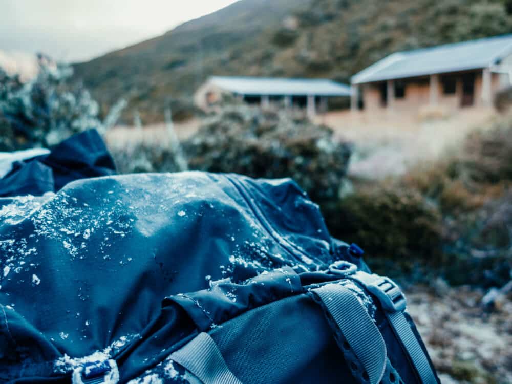
Day 2: Shelter Rock Hut - Daleys Flat Hut
Short on time, we opt for a long day from Shelter Rock Hut across Rees Saddle to Daleys Flat Hut on day two, skipping Dart Hut and side trips to Cascade Saddle or one of the glaciers. Most people, however, will stay the night at Dart Hut, I imagine, and many will even stay two nights allowing a spare day for side trips.
Starting out from Shelter Rock Hut, the trail climbs into subalpine terrain in the upper Rees Valley to the start of a poled route marking the path to Rees Saddle at 1471m. The uphill drudgery on tight switchbacks up the barren slope is mercifully short and well rewarded with long views from the saddle down the wide valley towards Mt Edward, with soaring mountainsides cloaked in green rising to the left and right.
The narrow track then drops just as quickly down the other side to Snowy Creek tracing the skinny ledges with steep drop-offs and will be difficult to navigate in adverse weather conditions. On a fine day, however, this trail section is great fun with several keas keeping us company.
The footbridge that crosses upper Snowy Creek shortly at the bottom of this steep descent is removed each winter and sometimes not replaced until December or when the snow clears. On the other side of the creek lies Dart Hut.
If you allow an extra day there, adding a side trip to Cascade Saddle at 1770m with a splendid 360-degree panorama of Mt Aspiring and the West Matukituki and Dart valleys is the obvious choice (this is a summer alpine route recommended for experienced hikers only). Side trips to Dart Glacier and Whitbourn Glacier (not signposted or maintained!) are further options.
From Dart Hut, the trail descends through beech forest alongside the Dart River towards a place called Cattle Flat. “Flat” is a very misleading description indeed for this particular trail section a ranger we meet here is quick to point out. She does have a point.
The path is not at all flat but undulating and taxing as it dips in and out of gullies before disappearing into the forest yet again. When we get to Daleys Flat, the sunlight has grown soft and the hut that sits at the forest edge looks dark and deserted as we approach. But like any hut providing shelter at the end of a long day on the trail, it’s a wonderful place to watch a fiery sunset over the Barrier Range out of range of bloodthirsty sandflies.
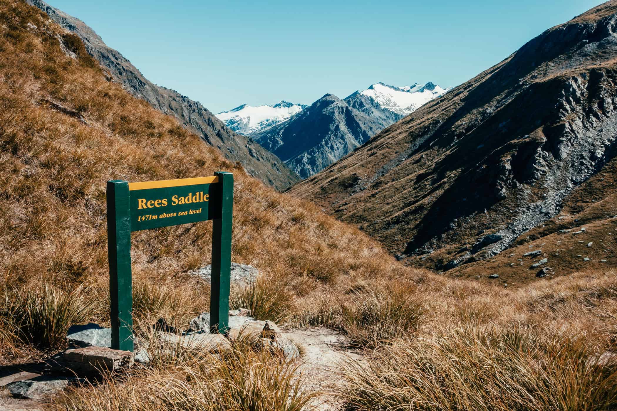


Long views from Rees Saddle at 1471m down the wide valley towards Mt Edward, with soaring mountainsides cloaked in green rising to the left and right.
Day 3: Daleys Flat Hut - Chinamans car park
The remaining 5-hour walk to Chinamans car park follows along the braided Dart River, passing through beech forest first and later across flatlands. Some trail sections have been rerouted after landslides caused much destruction in the area and are a little more challenging to navigate than the rest of the track.
The landslides have also caused a new lake to form over Dredge Flat where spindly bleached skeletons of recently drowned trees now jut out of the water. They are a really vivid reminder of how quickly landscapes change and the substantial threat posed by landslides and avalanches.
The track continues skirting around the lake’s edge to Sandy Bluff, descends to Surveyors Flat, then winds around Chinamans Bluff to the finish at Chinamans car park and shelter.
Takte note that after heavy rain or snow, this car park may not be accessible by 2WD or 4WD and you’ll have to continue for another 6km / 1.5-2 hours on a fine-weather road to meet transport at Paradise car park.


