Walk | Wellington | New Zealand
On the Skyline Walkway in Wellington
Text | Anninka Kraus
Photography | Tobias Kraus

New Zealand Wellington
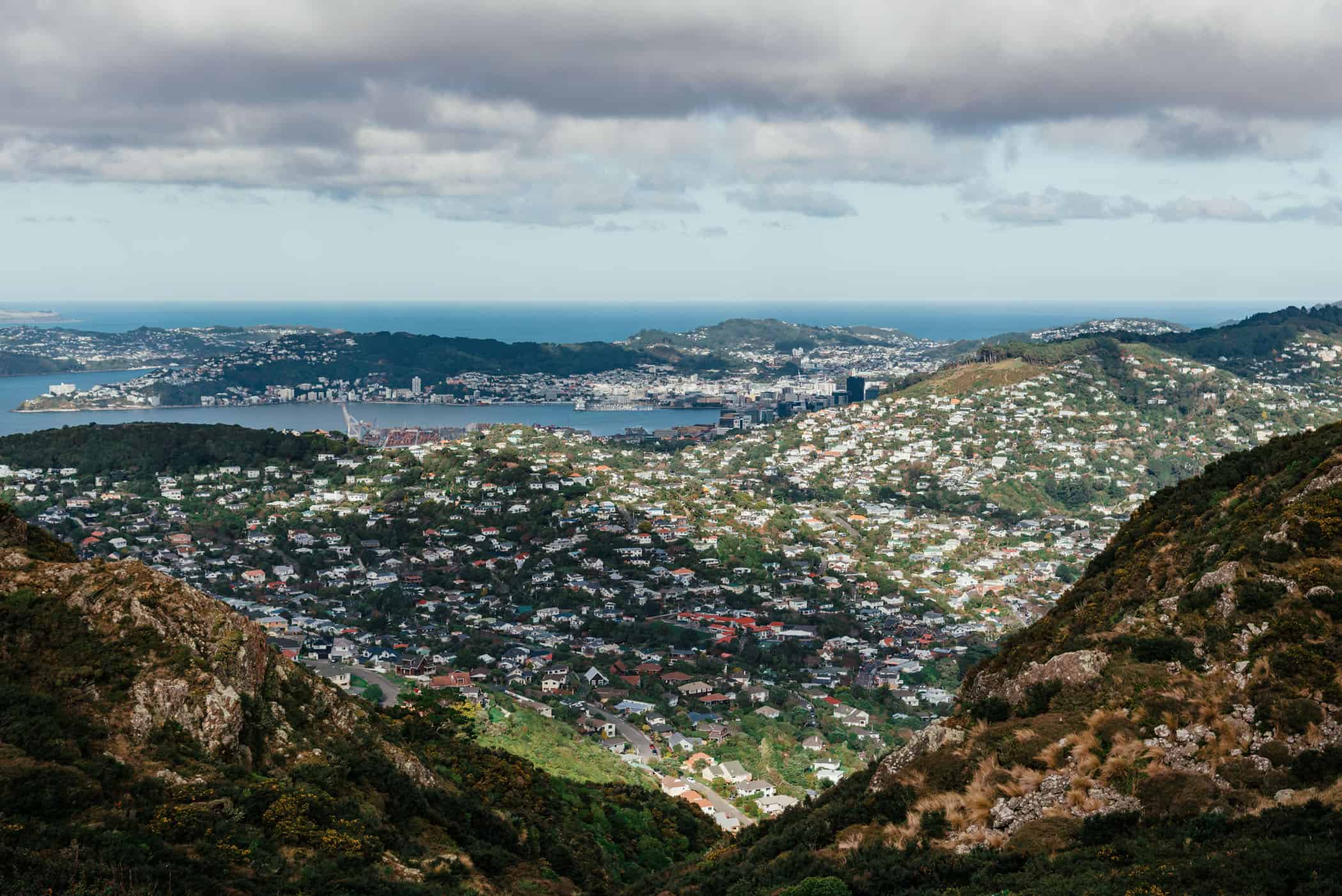
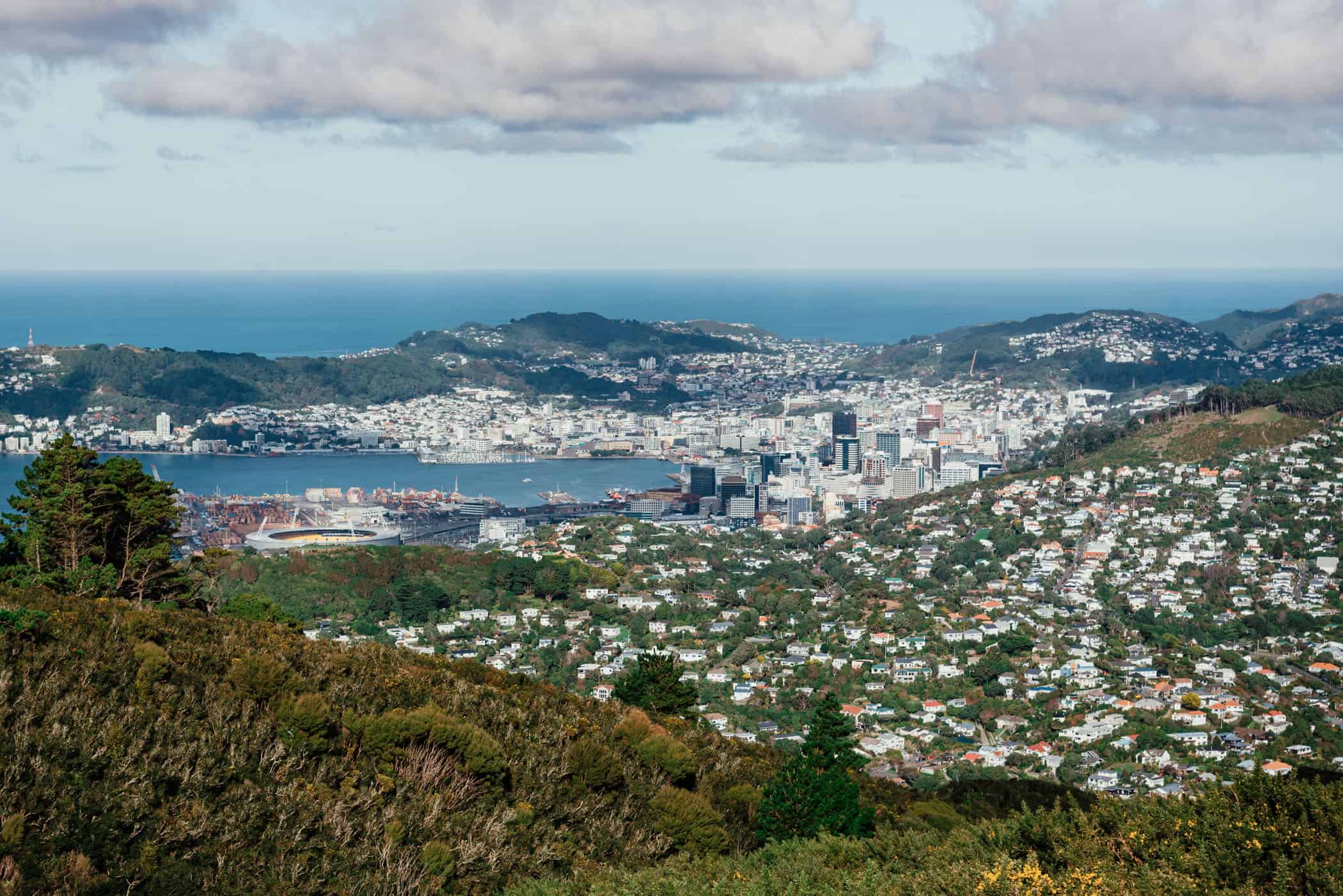
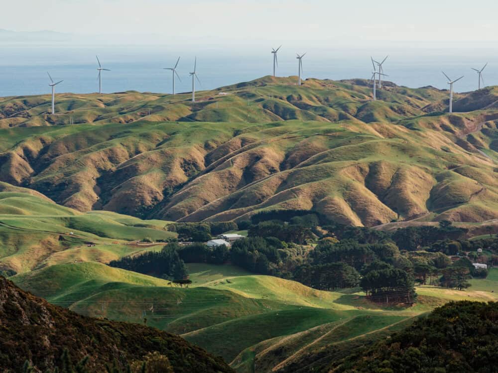
The Skyline Walkway offers magnificent views over the city, Wellington harbour, and the distant Marlborough Sounds and Kaikoura Ranges in the South Island on its amble across the wavy, pale green hills of the Outer Green Belt between Old Coach Road in Johnsonville and Makara Saddle in Karori.
It’s a city walk that never strays far from the outskirts of Wellington but has a remote backcountry feel to it, far removed from the hustle of the ever-busy CBD.
Also, the hilltops are usually the worst hit by the Roaring 40s that whip through Wellington and you may be battling some quite intense winds even on a fine day as you head along the exposed, draughty ridgeline.
The day of our walk, it was calm in the city centre and yet the pale tussock covered hilltops were swept over by a stiff breeze running persistently from the north. There’s no shelter on the hills, apart from small pockets of gorse and low shrubs that are forever leaning to the side in crooked, twisted shapes after years of ceaseless battering from the fierce gusts.
Walking against the wind is exhausting in itself but combined with the jagged elevation profile of this walk, with peaks at either end of the trail standing at more than 400m above sea level it certainly makes for a good workout.
From the trailhead at the end of Carmichael Street, the track gains in altitude quickly on its ascent of Mt Kaukau and again climbs steeply to the finish on Makara Peak. Both climbs, however, are well rewarded with magnificent panoramic views of the city and coastline.
The track is well marked with purple track symbols and can be walked in either direction. It connects with the Northern Walkway on Mt Kaukau summit.


Wellington | New Zealand
Walk | Point-to-point trail | 4-6 hours
track details.
Start: Bolton Street Memorial Park
End: Island Bay
Directions: Nr.1 bus connects the CBD with Johnsonville and Nr.2 with Karori Park
Distance: 13km
Time: 4-6 hours
Elevation gain: 535m / loss: 520m (lowest point: 210m / highest point: 445m)
Difficulty: easy-moderate
Best time to walk: all year
Options: the track is also suitable for running
Further information: Wellington Regional Trails website