Hike | Arthur's Pass | New Zealand
Hiking the Bealey Spur Track in Arthur's Pass
Text | Anninka Kraus
Photography | Tobias Kraus

New Zealand Canterbury
Unlike the Avalanche Peak Track, Bealey Spur is a gentle hike on a well-trodden path to 1240m that doesn’t require high-level backcountry skills. The views are nonetheless spectacular, especially in fine weather.
Which we didn’t have. It was overcast and grey all around – the mountains, river, sky, and beech tree canopy all blending into a sickly, monotonous gloom. We set off anyway and despite the predominance of grey, enjoyed the climb up the spur through beech forest, passing by some steep drop-offs into a large canyon down to Bruce Stream.
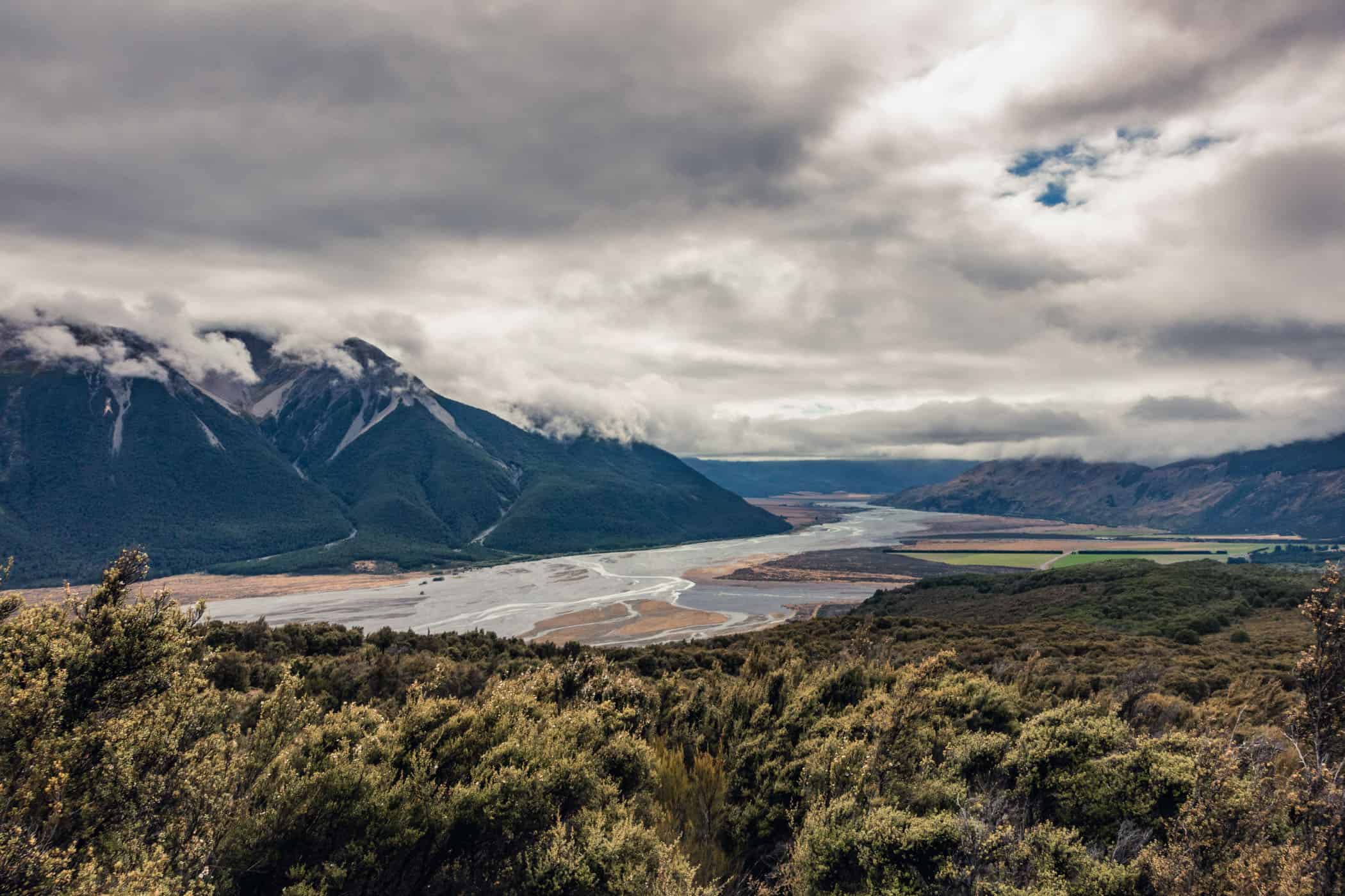
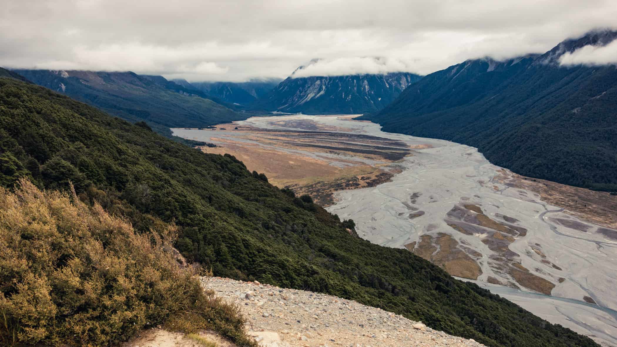
At 1000m, with the weather considerably improved by then, and just in time, the path flattened out onto a plateau with fantastic views up the Mingha and Bealey rivers as they join the wide gravel bed of the braided Waimakariri River stretching west to east.
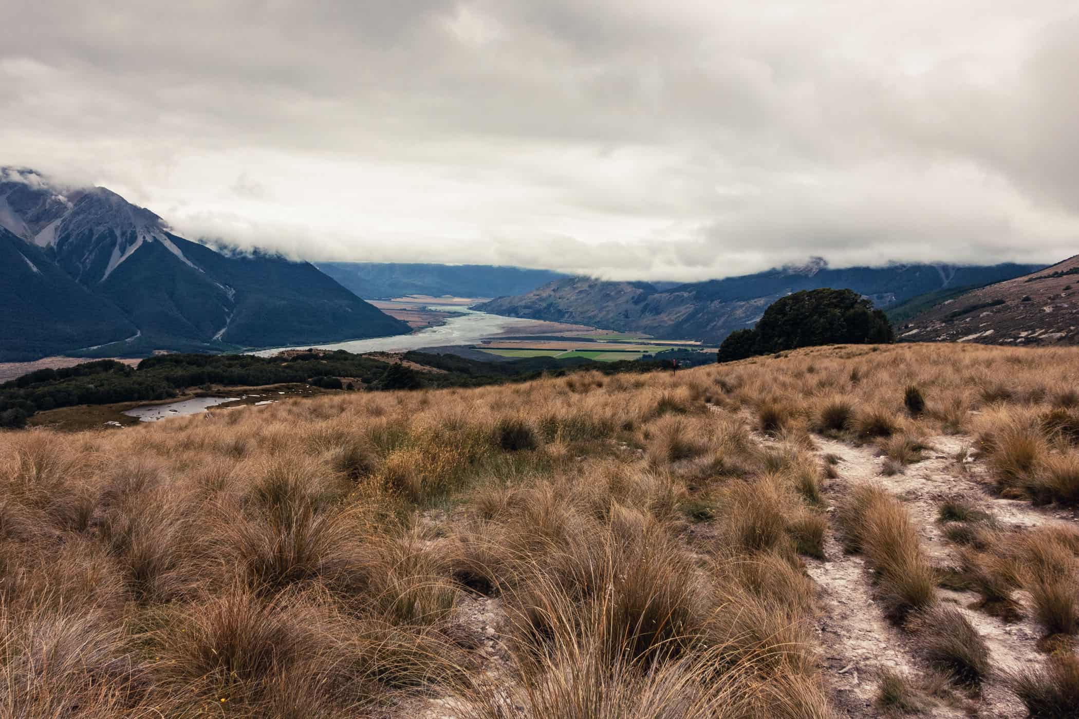
Further uphill, the track moved smoothly in and out of clusters of beech and across grasslands covered in tussock and subalpine scrub. It then gracefully wandered along a narrow boardwalk over marshland and passed by several tarns with great mountain and valley panoramas along the way.
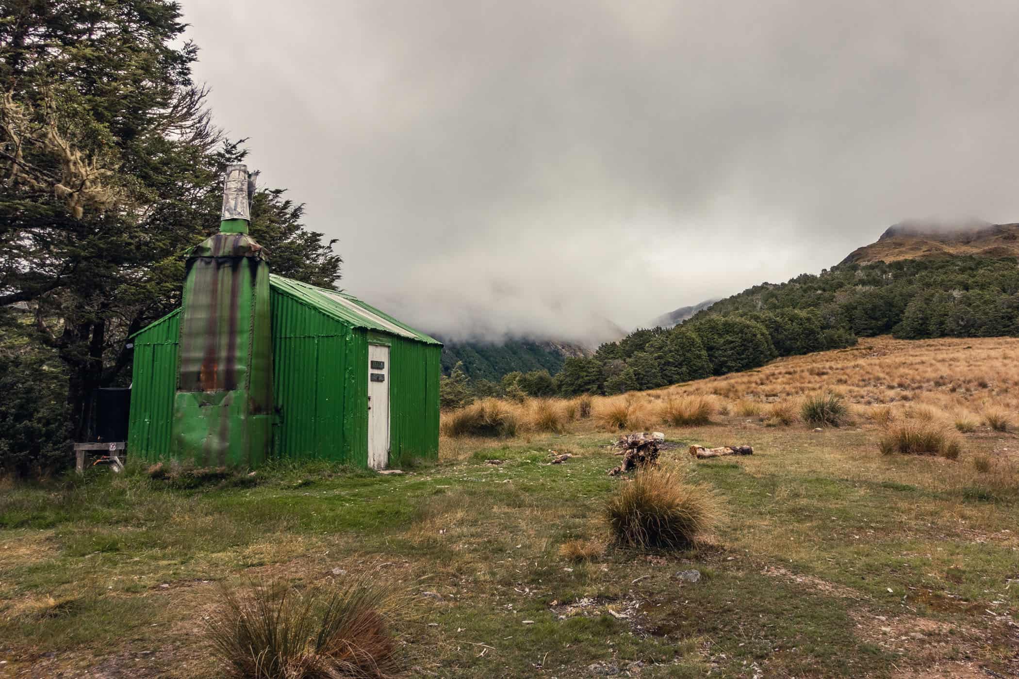
There’s no summit marker on the little clearing at the halfway mark, only Bealey Spur Hut, an old Musterer’s Hut. The fragile structure painted a bright green looked exactly like the kind of backcountry hut I remembered from twenty years ago: a makeshift shack and crooked oversized chimney cobbled together from mismatched sheets of corrugated iron.
When I gingerly pushed open the white door, a flurry of powdered bark and lichen escaped in a plume of smoke coated stale air. That smell of soot, wet firewood, and burnt plastic rubbish, too, was unmistakable.
Six bunks made of sacking were fixed to the walls and supported on a frame of spindly beech saplings around a small wooden table covered with white candle wax. More wax was splattered on the rough wooden floor before a small bench for cooking. There was no window, only a tiny square cut into the roof and covered with a sheet of corrugated Nova light. With the door closed there was no ventilation and if I had to stay the night, I’d be seriously worried about carbon monoxide poisoning in there, and mice. If the visitor book is to be believed, the tiny rodents have claimed the hut as their permanent residence.
This is an out & back trail and we return to the trail head at the top of Cloudesley Road via the same track.
related


At 1000m, the Bealey Spur Track flattens out onto a plateau with fantastic views up the Mingha and Bealey rivers as they join the wide gravel bed of the braided Waimakariri River stretching west to east.
Arthur's Pass | New Zealand
Hike | Out & back trail | 3-5 hours
track details.
Start/End: at the top of Cloudesley Road, near Arthur’s Pass village
Directions: from Arthur’s Pass village, head south on SH73 for 14km to a car park off the highway; note that Cloudesley Road is a residents-only access road
Time: 3 hours (official DOC estimate: 5 hours return)
Distance: 11.2km (official DOC estimate: 12km return)
Elevation gain: 580m (lowest point: 700m / highest point: 1240m)
Difficulty: easy-moderate; the track is well-marked with orange triangle blazes, wide and well-graded
Best time to hike: summer and autumn
Options: suitable for trail running
Permits: none required
Further information: Official DOC information