Hike | Utah | US
Hike Cohab Canyon to Cassidy Arch (Capitol Reef)
Text | Anninka Kraus
Photography | Tobias Kraus

US Utah
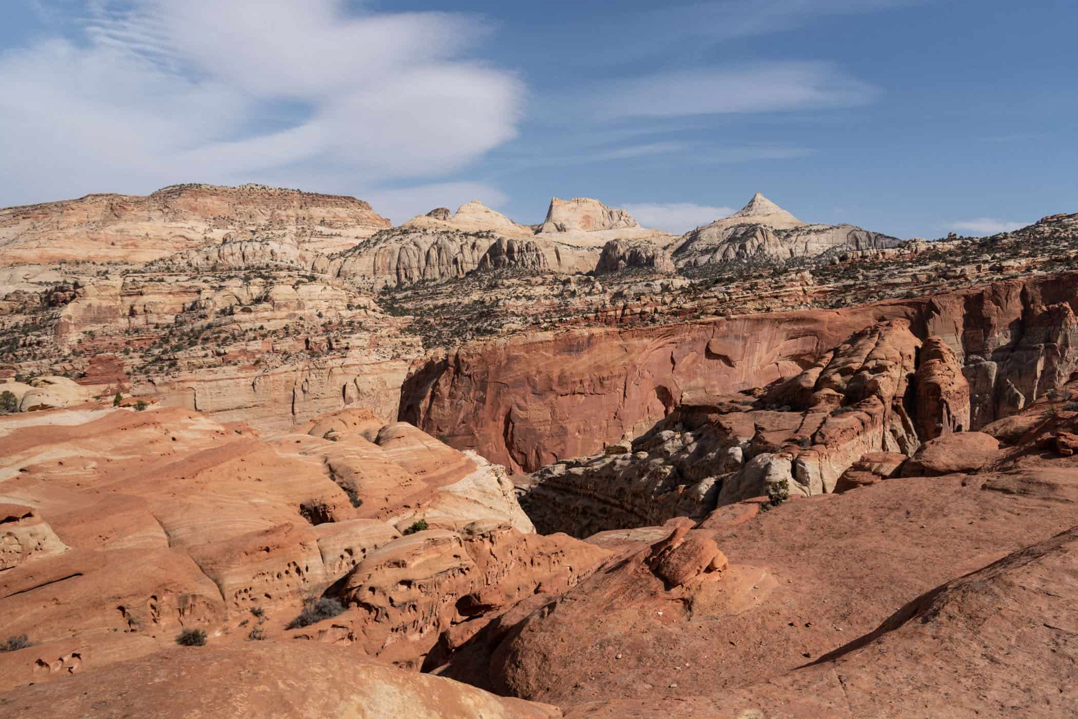
If you’ve visited Arches National Park, you might think you’ve seen your fair share of spectacular arches, but Cassidy Arch is very unique and beautiful and a worthy destination for a hike. And it’s not just Cassidy Arch, but all the other colourful rock formations along the trail, too, the solitude found between the canyon walls and the rugged path itself make this a great hike.
From the trailhead just opposite Fruita Campground, the hike immediately commences with a relentless, albeit short climb up steep switchbacks. Once you’ve reached the top, however, you’ll have a lovely view of Fruita Campground and the surrounding Fruita area towards the phenomenal red cliff face rising from the opposite bank of the Fremont River.
The trail then runs through Cohab Canyon – keep an eye out for the rock cairns that mark the trail – its rock walls peppered with cavities in a beautiful honeycomb pattern and along the Frying Pan Trail with fabulous views of the Waterpocket Fold, towards Cassidy Arch.
We returned by the same way, but you can make this hike into a loop if you continue east, past Cassidy Arch to where the trail meets Grand Wash Road, follow that road southwest to a junction with the paved Scenic Drive and return along the Drive to Fruita Campground.
Take plenty of water and hiking poles if you think you might need them in the rocky terrain, and watch out for scorpions. One scuttled across the path just in front of us, and other hikers we met on the trail had seen a few themselves.
related.
Your Visitor Guide to Capitol Reef National Park: Camping, Hikes & Scenic Drive: Park information & trail details for you stay in Capitol Reef National Park including our favourite hike in the park:
The Rim Overlook and Navajo Knobs Trail
Bryce Canyon National Park – everything you need to know before your visit: Park information & trail details for our favourite hikes in Bryce Canyon National Park


Utah | US
Hike | Out & back trail | 3.5 hours
track details.
Start/End: The trailhead is located just opposite Fruita Campground
Route: Fruita Campground trailhead – Cohab Canyon – Frying Pan Trail – Cassidy Arch – return by the same trail
Distance: 13.4km
Time: 3.5 hours
Elevation: 725 meters (+/-) (lowest point: 1660m / highest point: 1970m)
Difficulty: medium
Further information: National Park Service’s website