Hike | West Coast | New Zealand
The Alex Knob Track in Franz Josef Glacier
Text | Anninka Kraus
Photography | Tobias Kraus

New Zealand West Coast
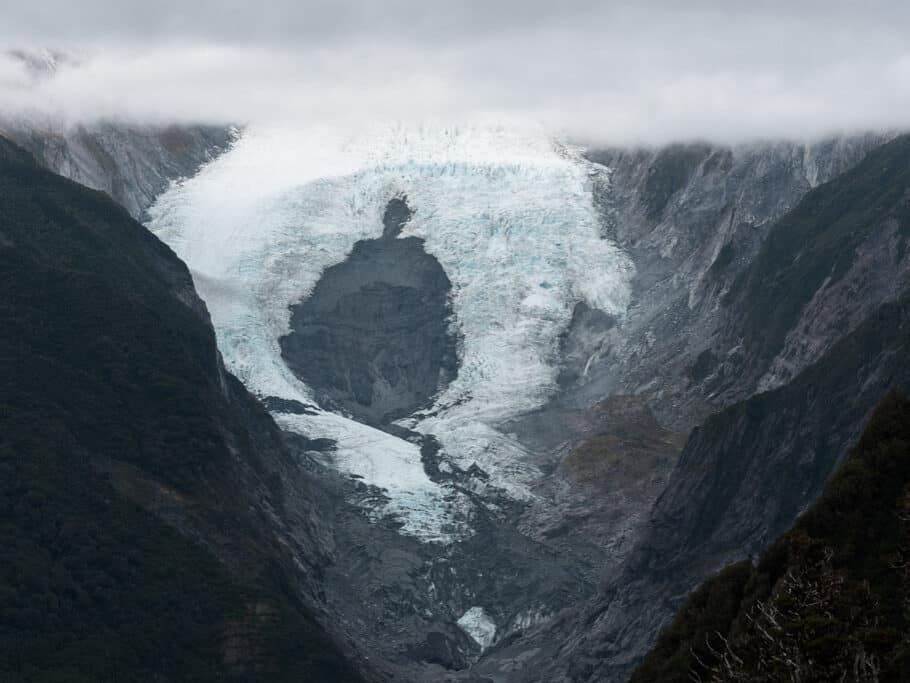
The Alex Knob Track is a well-marked trail to the top of Alex Knob at 1303m and offers sweeping views of Franz Josef Glacier from three lookouts along the way. On days when the glacier is not swallowed by cloaking mist or covered in lazy clouds that is.
Going early and checking the weather forecast carefully should increase your chance of seeing the glacier, but won’t always help. We had clear skies predicted and started in the dark, hoping for a spectacular sunrise at the top but were greeted by a thick layer of morning fog instead.
Luckily the sun quickly burned away the clouds, but on an overcast day, you might have no view of the glacier at all.
The opening stretch of the trail is shared with the gentle and flat Lake Wombat Track to the turn-off to Alex Knob, then follows a more rugged hiking track zigzagging steeply uphill through native podocarp forest of rata, rimu and kamahi.
It’s a demanding 8.5-kilometre uphill slog with an 1100 elevation gain, roots and rocks underfoot, and some fallen trees blocking the track, but not a technical hike like the Roberts Point Track.
It was still dark when we passed the first viewpoint, Rata Lookout, on the way up, but on the way down, this lookout offered a last glimpse of the glacier in the distance.
The views were much improved at Christmas Lookout and afterwards, when the track emerged into snow tussock and sub-alpine shrubs above the tree line, but no view on the ascent compares to the fabulous 360-degree panoramic views you’ll have standing on the summit plateau at 1303m.
We returned by the same track, took a quick detour to Lake Wombat, and arrived back at the car park well before noon.
related
Cycle the 132km West Coast Wilderness Trail


Since 2008, the glacier has retreated by 1.5 kilometres and since 2012 it is no longer accessible by foot.
West Coast | New Zealand
Hike | Out & back trail | 5-6 hours
track details.
Start/End: Alex Knob/Lake Wombat car park
Distance: 15.8km (official DOC estimate: 17.2km return)
Time: 5-6 hours (official DOC estimate: 8 hours return)
Elevation gain: 1110 meters (+/-) (lowest point: 200m / highest point: 1303m)
Difficulty: moderate, but exposed to the weather and steep altitude gain | it’s best to go very early in the morning as clouds will often move in after midday | this is a track in alpine environment where the weather can change very quickly and also, it’s the (wet) West Coast so rain gear will often come in useful
Best time to hike: summer
Options: the track is also suitable for trail running
Permits: none required
Further information: Official DOC information