Hike | Organ Pipe Cactus National Monument | United States
Your Guide to: Estes Canyon-Bull Pasture Trails
Text | Anninka Kraus
Photography | Tobias Kraus

US Arizona
The Estes Canyon-Bull Pasture Trails are located at Mile 11 along the Ajo Mountain Drive. From Arch Canyon, follow a little further along the road to another small parking area with picnic benches from where a trail first meanders into Estes Canyon in the Ajo Mountains foothills, then ascends to a small plateau, a former cattle pasture called Bull Pasture. By joining two trails into a 5-kilometer loop (3.2 miles), this hike provides yet another fabulous opportunity to explore the fascinating Sonoran Desert wilderness on marked and well-maintained hiking trails.
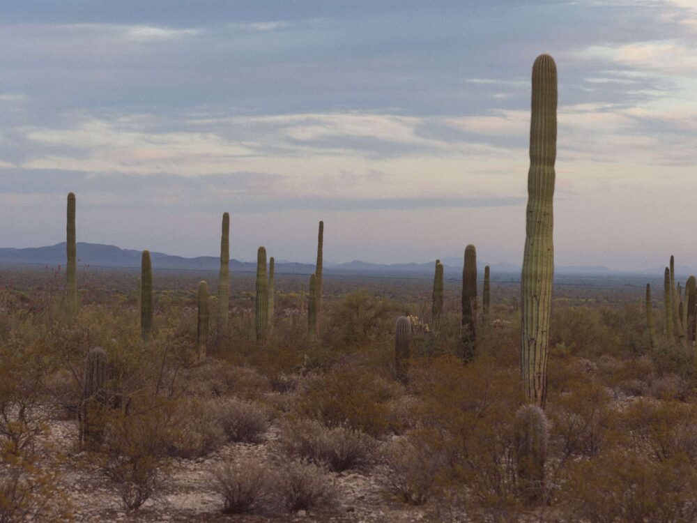
The long views and the customary desert flora found along the trail are magnificent. When we visited in spring, we were also surrounded by beautiful wildflowers that splashed much color on rocky outcrops. If you’re flexible with the timing, I imagine springtime is probably the best time to visit.
From the parking area, the opening stretch leads north, in a clockwise direction, into Estes Canyon.
That first section through the canyon is mostly flat and makes for a gentle walk until the trail swings south and starts switchbacking up a ridge to meet a trail junction with the Bull Pasture Trail. Turn left here and follow the tight zigzags climbing steeply up the rocky spur until the trail levels out and rewards the effort with spectacular views into Mexico to the south from Bull Pasture Viewpoint.
Follow the trail just a little further up yet another ridge, and you’ll arrive at the small plateau called Bull Pasture that marks the turn-around point on this hike.
Return to Bull Pasture Junction and follow the Bull Pasture Trail down through the foothills to complete the circuit.


Organ Pipe Cactus National Monument | Arizona
Hike | Loop trail | 1.5-2 hours
track details.
Start/End: parking area off Ajo Mountain Drive
Distance: 5.1km (3.2 miles)
Time: 1.5-2 hours
Elevation: 285 meters (+/-) (lowest point: 720m / highest point: 990m)
Best time to hike: early morning or late afternoon during the winter months (December-March)
Further information: Official National Park Service website / pit toilets and picnic benches are provided at the parking area