Walk | Kaikoura District | New Zealand
Kaikoura Peninsula Walkway
Text | Anninka Kraus
Photography | Tobias Kraus

New Zealand Canterbury
Scanning down the east coast of the South Island on google maps, from where State Highway 1 meets the ocean near Ward to the big, frayed bulge that is Banks Peninsula, there’s just one distinct rocky spur jutting out into the Pacific Ocean (on a scale 1:500 000, that is).
That is the Kaikoura Peninsula and I was kind of surprised to notice it exists. Our 30-min rest stop visits to Kaikoura some twenty years ago had never allowed us to venture further than ten minutes from the Visitor Information Centre. Now having finally remedied this oversight, I can wholeheartedly recommend the Kaikoura Peninsula Walkway if you’re in Kaikoura on a fine, sunny day.
It’s a gentle, family-friendly round trip across the peninsula’s clifftop with spectacular ocean views.
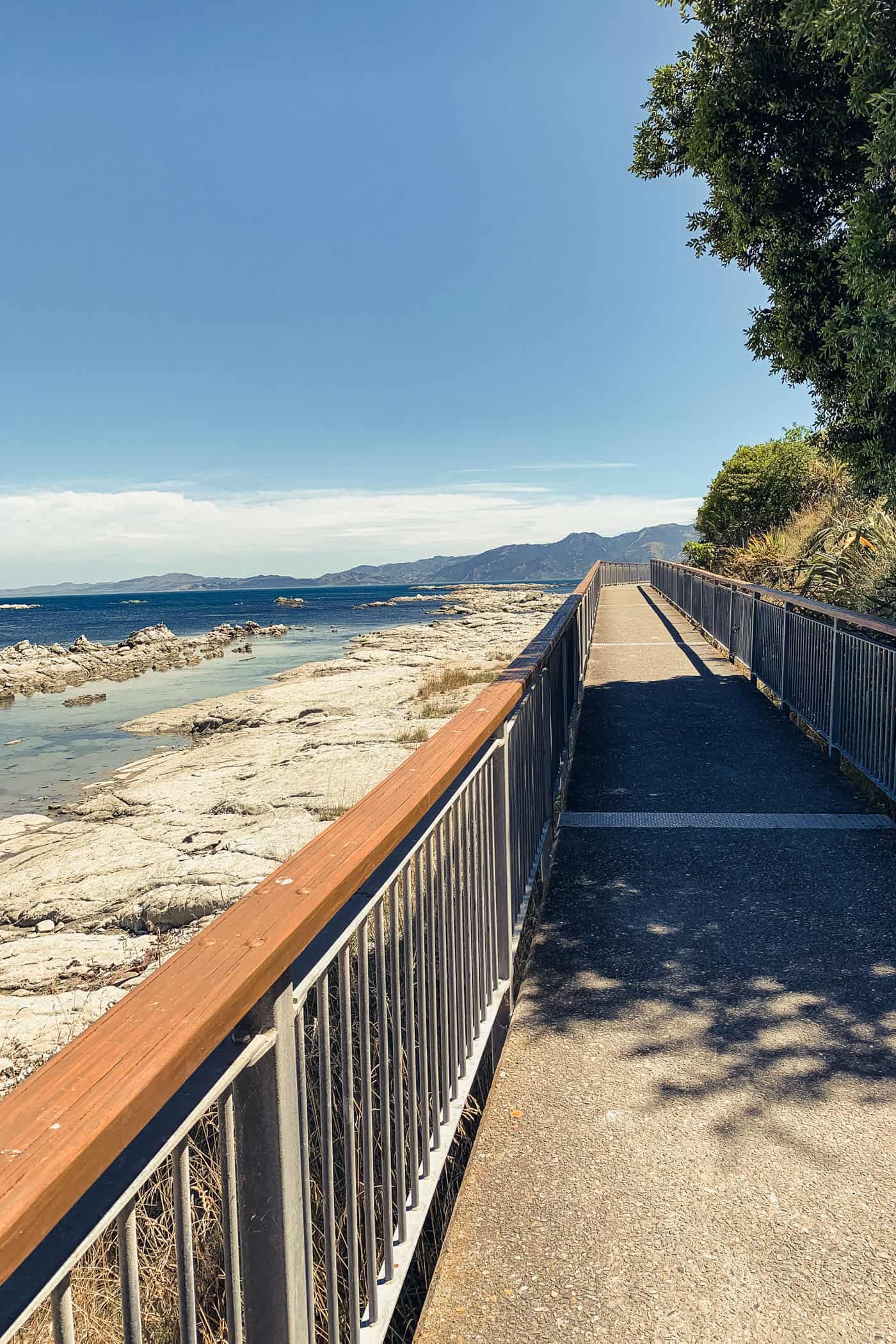
We decided to run, not walk the loop trail that starts at the i-SITE in town and following the footpath and road verge along the Esplanade, Avoca Street, and Fyffe Quay traces the outline of the peninsula to Point Kean. Although there’s very little traffic, walkers may want to skip the road section and start on the proper walking track commencing at Point Kean car park.
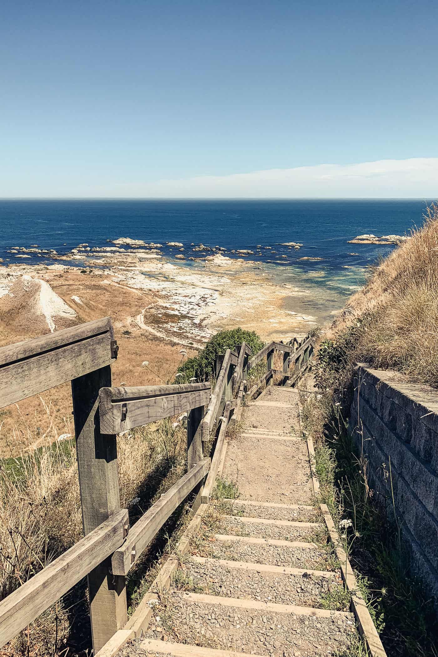
This is also where you’ll find the only gruellingly steep (albeit short) uphill stretch. So we laboured up the stairs and pathway to the Point Kean viewing platform, and huffing and puffing arrived on the clifftop.
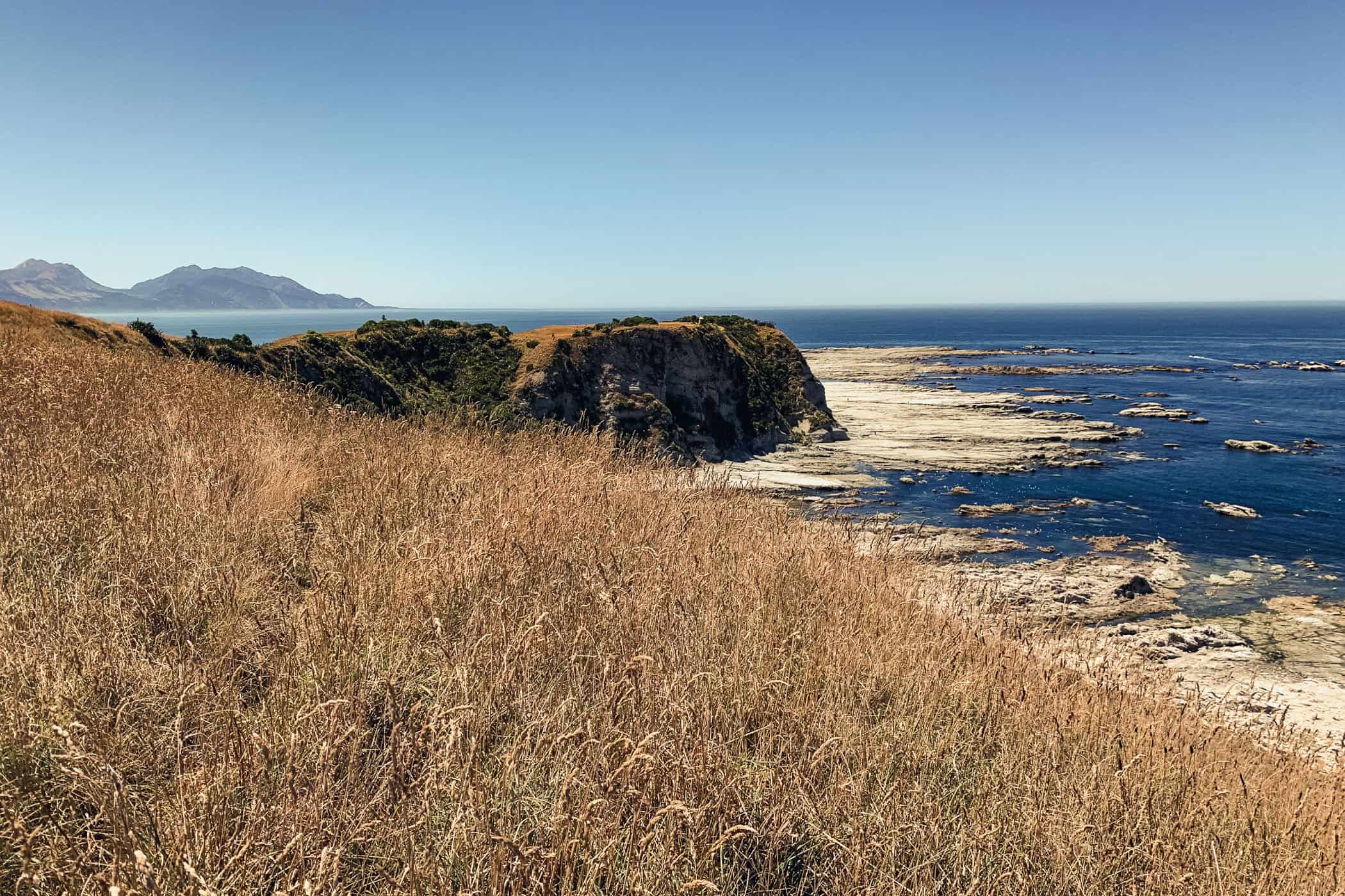
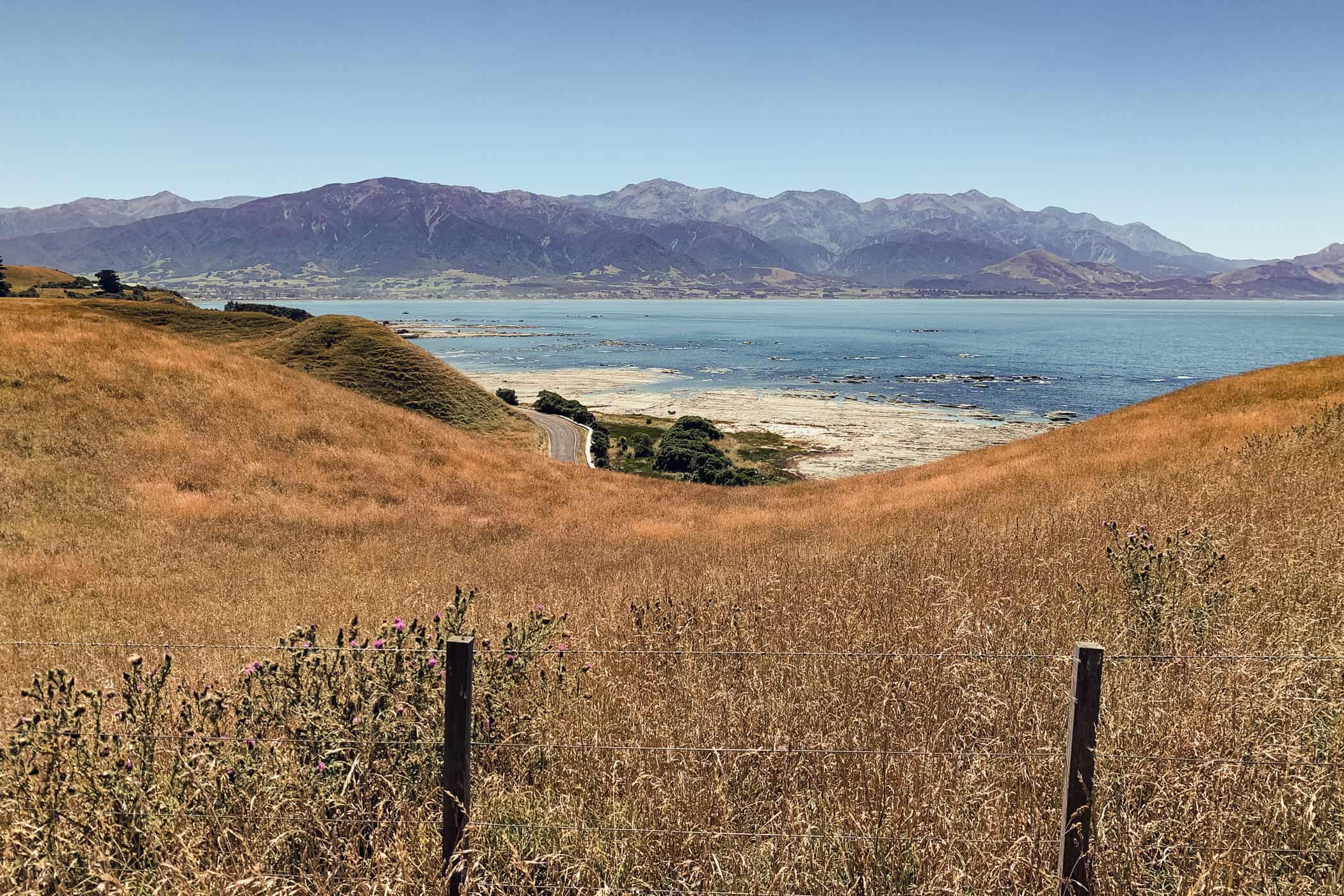
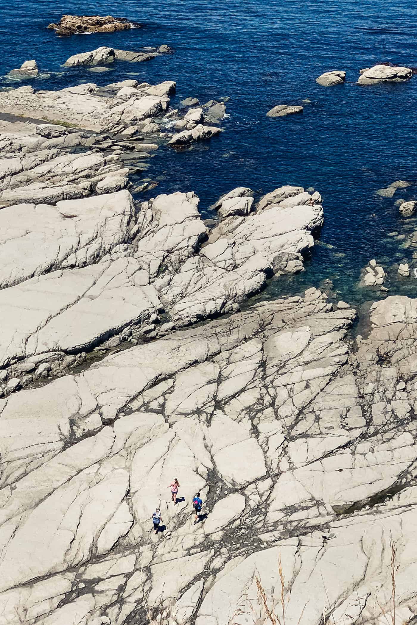
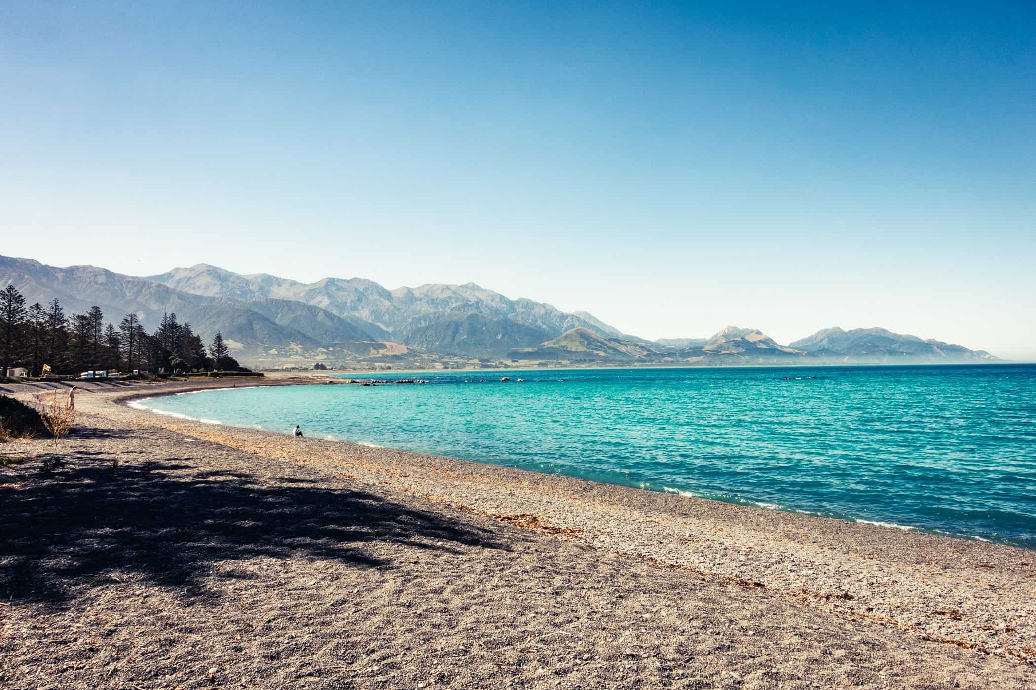
Along the clifftop, wheaten and blue tones dominate the scenery. Much like the Wairau Valley landscape, where range upon range of parched crumpled hillocks rises around the plains underneath a watery blue sky. The Kaikoura peninsula is more rugged however and the cliffs fall off steeply to the pearly white seashore revealed at low tide.
Where the trail cuts a wide path across a field of high, straw-coloured grass towards a smudge of blue ocean, it seems to disappear right off the cliff edge. I thought of the towering limestone stacks of Dorset’s Jurassic Coast, but that comparison falls short. The Kaikoura cliffs are not nearly as steep and barren, but an impressive landscape nonetheless.
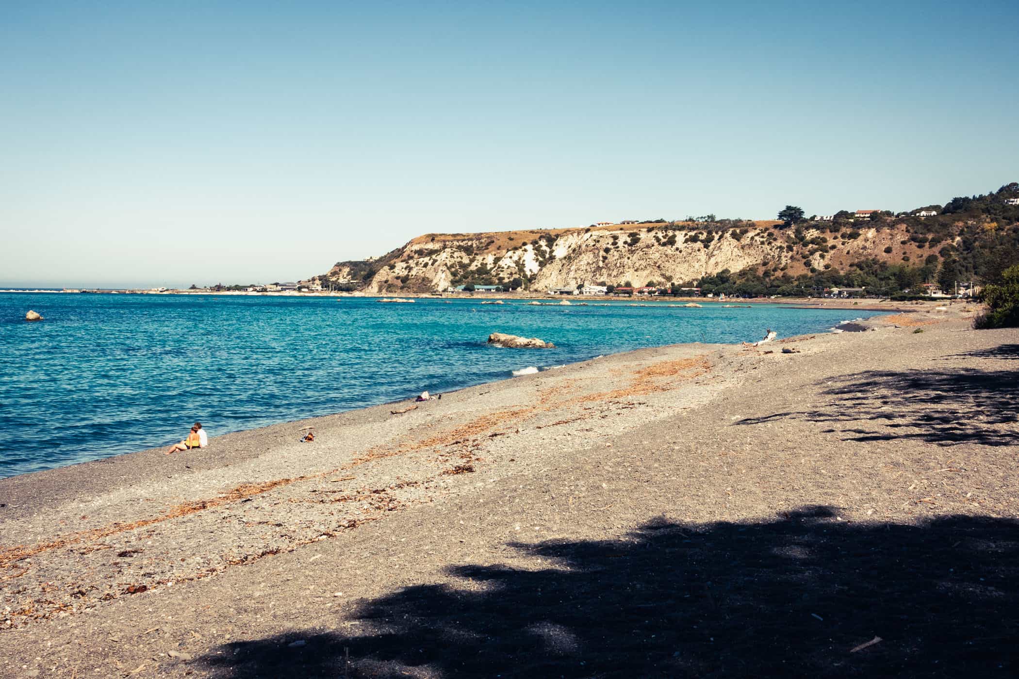
The walking track section of the Kaikoura Peninsula Walkway ends at South Bay Recreation Reserve. From there, the fastest way to return to Kaikoura town centre is via some quiet back roads and the South Bay Track. That was the route we took, displayed on the map below. If you’d rather skip the road sections at both ends of this loop trail, you can easily do that by starting from Point Kean car park.
There’s the option of a shorter loop: follow the trail along the clifftop, then descend on a former whalers’ route down the cliff face to the shoreline at Whalers Bay, and return to Point Kean along the beach. Or take the out & back route and retrace your steps along the clifftop after you reach Whalers Bay or even South Bay.
related
Detailed information on hikes, bike rides & walks in Kaikoura, Hurunui, and Waimakariri districts
Cruise along on the Kaikoura Cycle Trail
Walk the Mt Isobel Track for stunning views of the Hanmer Basin
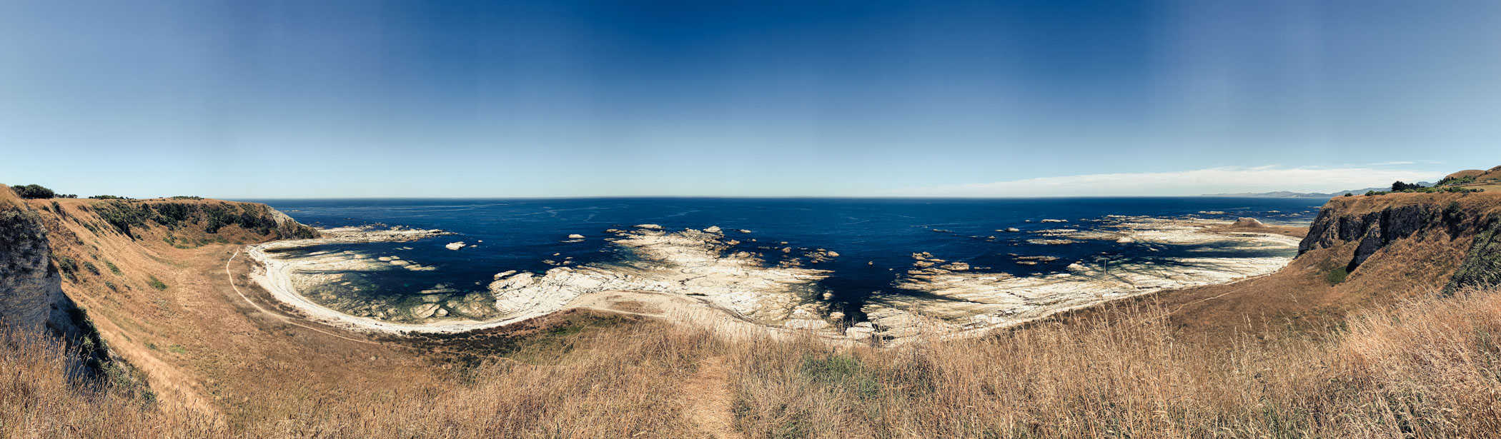

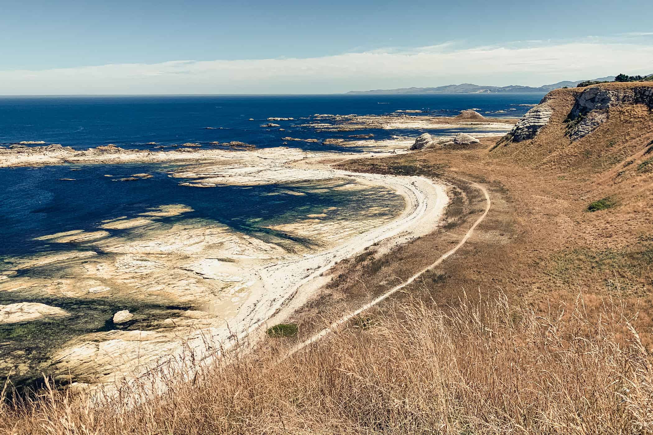


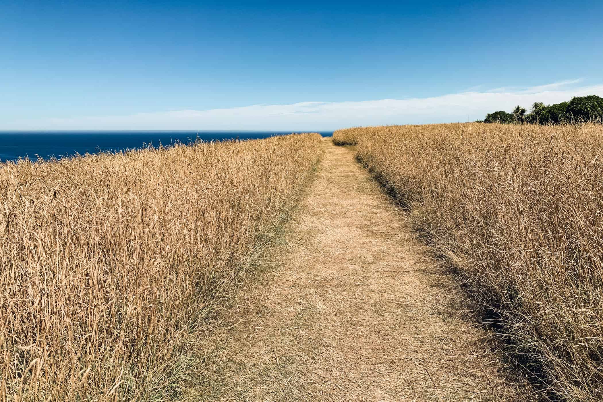
On the Kaikoura Peninsula Walkway, wheaten and blue tones dominate the scenery and the cliffs fall off steeply to the pearly white seashore revealed at low tide.
Kaikoura District | New Zealand
Walk | Loop trail | 2-3 hours
track details.
Start/End: Visitor Information Centre, Kaikoura
Route: Kaikoura town centre – Point Kean car park – Point Kean viewpoint – Whalers Bay viewpoint – South Bay viewpoint – South Bay car park – South Bay Track – Kaikoura town centre
Distance: 12.2km
Time: 2-3 hours, walking (Official DOC estimate 3 hours)
Elevation gain: 191m (lowest point: 4m / highest point: 71m)
Difficulty easy-moderate, but exposed to the weather along the clifftop
Best time to walk: all year
Options: suitable for trail running
Permits: none required
Further information: Official DOC information