Hike | Taranaki | New Zealand
The Pouakai Tarns Walk at Mount Taranaki
Text | Anninka Kraus
Photography | Tobias Kraus

New Zealand Taranaki
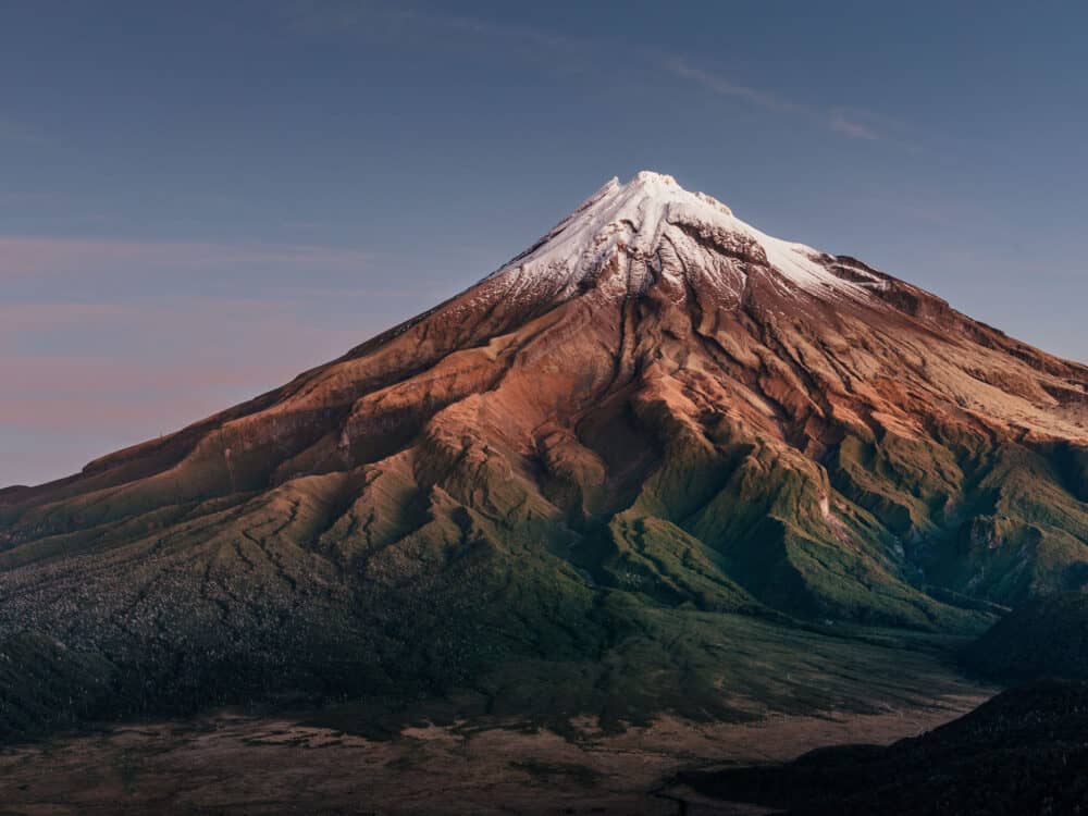
The famous reflection shots of Mount Taranaki are all taken at the Pouakai Tarns.
It’s a magical setting of a freestanding, perfectly symmetrical peak, a triangle of a stratovolcano more perfectly shaped than a Toblerone Pyramid mirrored in the calm waters of a small tarn.
From the trailhead on Mangorei Road, the Mangorei Track climbs steadily through native forest with rimu and rata to Pouakai Hut. It’s a 12.5-kilometre return walk with a 700m elevation gain, but all of it is on boardwalk and therefore not a challenging climb.
Turn left at a track junction just past the hut and follow the Pouakai Track across a tussock-covered high plateau with sweeping views across Mount Taranaki and the Ahukawakawa Swamp.
The tarns are a popular place to capture the volcano at sunrise and sunset when you’ll likely be sharing the viewing platform and boardwalk with quite a crowd. If you find the tarns too busy, I suggest you take a couple of shots and make your way back onto the plateau, where there’s plenty of space for some solitude and quiet contemplation.
Also, in my experience, most people will leave the very minute the sun has set. If you stay on, you’ll experience the true magic of the blue hour, shortly before the stars light up the sky, and the volcanic cone stands out in stark relief against the darkening sky.
That’s when Tobi took a shot of the snow-capped mountain that made it into the Finalists for the New Zealand Geographic Photographer of the Year Award (Awards Night is on 28 October 2021).
Return by the same track.
related
The Kamahi Loop Track is a leisurely 15 to 30-minute stroll through an enchanting ‘Goblin Forest’ on the lower eastern slope of Mt Taranaki.


Taranaki | New Zealand
Hike | Out & back trail | 4-5 hours
track details.
Start/End: Mangorei Road, New Plymouth
Directions: from New Plymouth, head south on SH3, turn right into Mangorei Road and continue to the carpark and Mangorei Track trailhead at the end of the road
Distance: 12.5km return
Time: 4-5 hours return
Elevation gain: 770 meters (+/-) (lowest point: 520m / highest point: 1225m)
Difficulty: moderate, steep altitude gain but the track is entirely on boardwalk
Best time to hike: summer | expect snow and ice on the ground in shoulder season
Options: you can make this hike an overnight trip by staying at 16-bunk Pouakai Hut (bookings required)
Further information: Official DOC information