Hike | West Coast | New Zealand
Roberts Point Track in Franz Josef Glacier
Text | Anninka Kraus
Photography | Tobias Kraus

New Zealand West Coast
The 11-kilometre Roberts Point Track is an out-and-back trail in varied terrain to a viewpoint vis-a-vis Franz Josef Glacier, the closest point to the glacier that you can get to on foot, in fact.
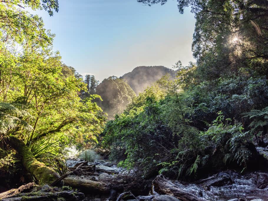
The trail doesn’t cater to everyone’s hiking abilities yet offers much of what makes the West Coast exceptional: beautiful West Coast native forest, cascading waterfalls tumbling down the valley sides, multiple swing bridges, and of course, magnificent views of the glacier.
Although this hike with little elevation gain doesn’t require much stamina, it is one of the more technically demanding day hikes. There are no ladders, metal footholds or rope-assisted climbs required but the glacier-carved rocks on this trail can be very slippery even on a fine day.
Wear proper hiking shoes or trail runners and don’t attempt this hike in bad weather. You won’t get a view of the glacier anyway if it’s cloudy and the rocks are treacherous even on a dry day with streams running across and feeding a thin layer of slimy moss.
The trail starts at Douglas Bridge then leads through the native bush alongside the Waiho River on a wide gravel path to Douglas Swing Bridge. Across the river, the track becomes gradually more difficult as you climb further up the Waiho Valley to Roberts Point Swing Bridge and Hende’s Hut (a basic shelter not suitable for overnight stays).
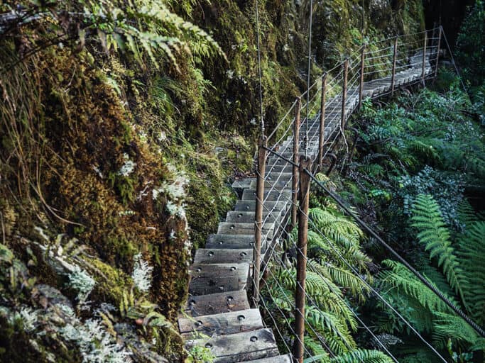
My favourite part of the trail comes next, a winding wooden staircase floating in mid-air with small wooden steps bolted into the sheer rock face, and just after, you’ll cross the beautiful Rope Creek Bridge.
The closer you get to Roberts Lookout, the more the trail will loose shape until you’ll be scrambling up rocks and tiptoeing across streams in the direction of the orange triangles that point the way. Where the track ends, there’s a large wooden platform hemmed in on both sides by the valley covered in lush rainforest that reveals stunning, unobstructed views of the glacier and long waterfalls tumbling down the sheer mountain face.
The track does not provide access to the glacier and hikers have died while attempting to get closer to the glacier or cross the Waiho River. Visiting the glacier requires a helicopter flight nowadays and you’ll hear plenty passing overhead almost all the time, which is pretty annoying. I’ve never recommended this before, but you might want to plug in some headphones on this hike.
related
Cycle the 132km West Coast Wilderness Trail


West Coast | New Zealand
Hike | Out & back trail | 4-5 hours
track details.
Start/End: Alex Knob/Lake Wombat car park
Distance: 9.3km (official DOC estimate: 11 km – 12.3 km return via same track)
Time: 4-5 hours (official DOC estimate: 5 hours)
Elevation gain: 600 meters (+/-) (lowest point: 200m / highest point: 630m)
Difficulty: moderate and slightly technical
Best time to hike: summer
Permits: none required
Further information: Official DOC information