Hike | Arizona | United States
South Kaibab-Tonto-Bright Angel Loop Trail (Grand Canyon)
Text | Anninka Kraus
Photography | Tobias Kraus

US Arizona
The South Kaibab-Tonto-Bright Angel Loop joins two of Grand Canyon’s most popular trails, Bright Angel and South Kaibab, with the less frequented Tonto Trail into a 20-kilometer circuit. All three trails are in excellent condition but still require a moderate level of fitness and some hiking experience to tackle the 1000m elevation gain back up to the rim.
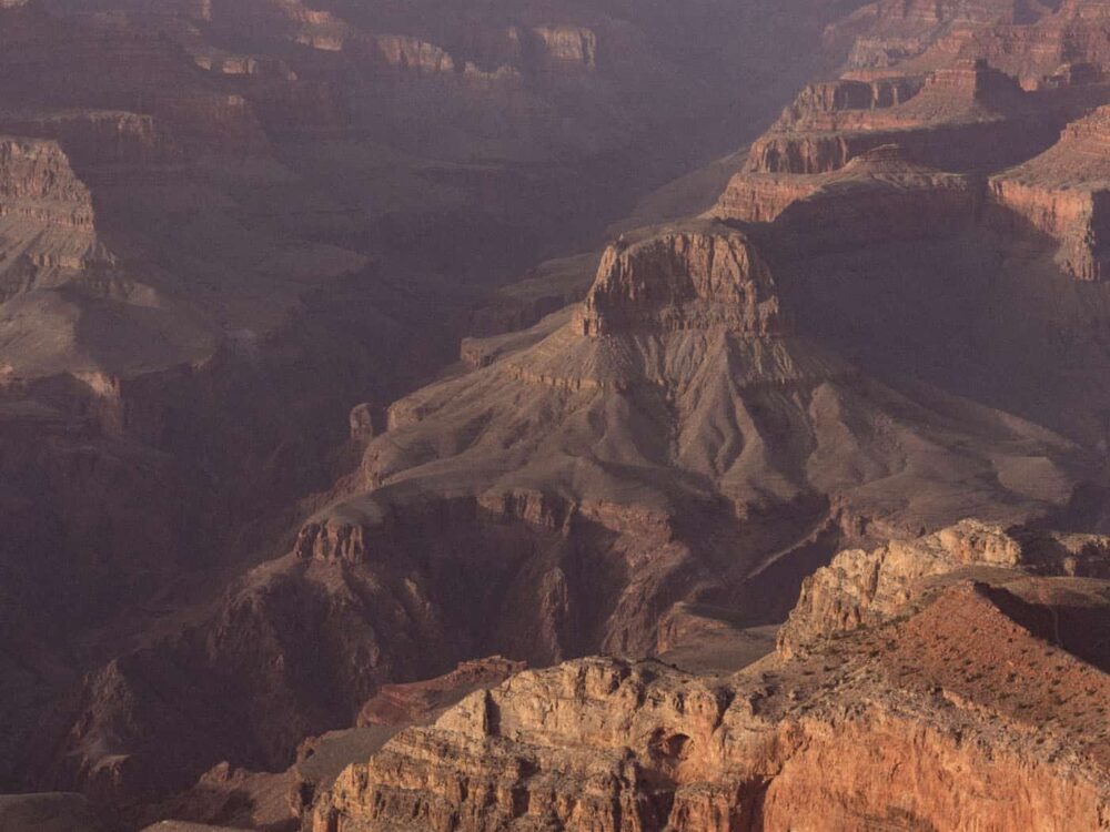
You can think of this trail as having three distinctly different sections, and this being a canyon not a mountain, you start with the easy part, the gentle downhill stroll, which leads you deep into the canyon. The trail levels off where you join the Tonto Trail for a fairly level middle section, leaving the strenuous uphill slog for last. The views stretching across the rocky landscape with its flat-topped plateaus, pointed ridgelines, eroded buttes and delicate spires, and up to the North Rim’s steep canyon walls are totally worth the effort though.
Following the Bright Angel Trail as it drops down into the canyon is a leisurely downhill walk on tight switchbacks that allows you to soak up the scenery. The ever-changing perspective of the canyon along this opening stretch, as you descend the almost vertical wall is mesmerizing and very beautiful, albeit a little misleading in suggesting that it’s an easy walk all along. It’s not.
The trail levels out at Indian Garden and you follow the quiet Tonto Trail northeast across the Tonto Platform, a pretty flat sandstone plateau covered with short green scrub. The Tonto Trail section is still very doable, but when the trail hits a junction with the South Kaibab Trail at a waypoint called the Tip-off, you’re in for a relentless uphill climb and 1000m elevation gain, past Skeleton Point and up Cedar Ridge.
Apart from the elevation change, this hike is not a very difficult one though. Trail markers are placed at all relevant trail intersections, unlike on the Grandview-Tonto-Hance Creek Loop, and both the South Kaibab and Bright Angel trails tend to be well-frequented in summer. The regular shuttle service running between the Bright Angel (south of Yaki Point) and South Kaibab trailheads makes trail logistics for this hike straightforward.
I suggest you park your car at the finish and take the bus to the starting point – whether that’s Bright Angel or South Kaibab is really up to you because you can walk this trail in a clockwise or anticlockwise direction. The South Kaibab Trail is a little steeper with tighter switchbacks, which I preferred for the uphill part, but as I said, it’s up to you.
With your car parked at the finish, you won’t have to wait around for a bus at the end of your hike. I also recommend starting early to beat the crowds on the descent at least, because both the Bright Angel and South Kaibab trails tend to be very busy in their upper sections (up to 1.5-Mile resthouse and Cedar Ridge respectively) after 9 am. You’ll definitely have plenty of company on the trail by the time you climb back out of the canyon.
As this hike requires a little more preparation and thought than walks along the rim, see the track details section for information about water and amenities along the trail.
If a 20km walk with 1200m total elevation gain sounds like a bit too much for a day hike, you can apply for a backcountry permit at the Backcountry Information Center and camp at Bright Angel Campground. In that case, I would walk the circuit in an anticlockwise direction. You’ll start with a longer hike on day one, down South Kaibab and across the Tonto Plateau, and a shorter hike with plenty of elevation gain on day two up the Bright Angel Trail.


Grand Canyon National Park | Arizona
Hike | Point-to-point trail | 5-8 hours
track details.
Start: Bright Angel trailhead, Yaki Point (you can just as well also start at the South Kaibab trailhead and finish at Yaki Point)
End: South Kaibab trailhead
Distance: 20.5km
Time: 5-8 hours
Elevation gain: 1415m / loss: 1305m (lowest point: 1110m / highest point: 2195m)
Best time to hike: early morning or late afternoon in spring or autumn; in summer, you can expect very high temperatures; in winter and early spring, this trail may be icy
Water: You’ll need plenty of water on this hike! Daytime temperatures in the inner canyon average 100F (40C) in the summer months, that’s 20F (10C) higher than on the South Rim, and the only shade basically is from the canyon walls.
Always carry water and water treatment tables/a filter and ask the staff at the Backcountry Information Center about the water availability on trails. At the time of our hike, potable water was available at Bright Angel Campground, but please double-check before your hike. Backcountry updates and trail closures are also posted online.
Restrooms: Pit toilets are usually available on the Bright Angel Trail near the River Rest Station, at Indian Garden, Three-Mile and Mile-and-a-Half Resthouse; at the Tip-off on the Tonto Trail; at Cedar Ridge on the South Kaibab Trail
Further information: Official National Park Service website