Cycle | Kaikoura District | New Zealand
Want to ride the fantastic Kaikoura Cycle Trail?
Text | Anninka Kraus
Photography | Tobias Kraus

New Zealand Canterbury
The Kaikoura Cycle Trail is a great way to explore more of the Kaikoura District than is visible from the highway or covered on the Kaikoura Peninsula Walkway. It’s a 48km circuit that follows the perimeter of the Kaikoura Plains on single tracks and quiet country roads and can be completed in either direction.
The Kaikoura Cycling Club that maintains the track describes the ride in clockwise direction, but if you prefer a nice, flat stretch to start with and easy finish on a downhill part, bike anticlockwise instead as we did. It really is up to you.
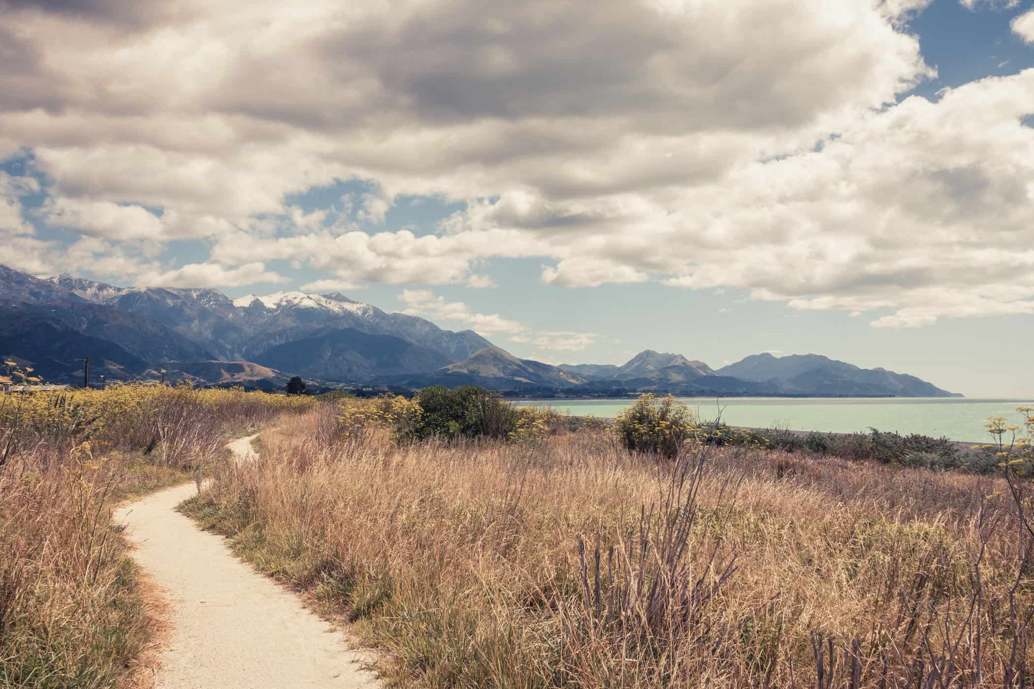
If you go anticlockwise, the moment you start pedalling, that nice, flat opening stretch towards Hapuku offers fantastic views of the pale blue ocean, Mt Fyffe, and the snow-capped Seaward Kaikoura Range. If this is your home stretch, you’ll watch Kaikoura nestled into the wide sweep of the bay grow larger and larger against the backdrop of the Kaikoura Peninsula.
We cycled along a long stretch of black sand and pebble beach strewn with pale driftwood for ten kilometres before the track turned inland and climbed steadily along the Hapuku River. This is one of the intermediate grade sections with some slightly more challenging, narrow zigzags through bush and beautiful large totara trees.
We were soon back on quiet country lanes however, when the track turned left onto Grange Road, passing by Koura Bay Golf Resort at km 20, and with some gentle ups and downs made its way southwest. That is where – on a stretch of flat, straight road with no oncoming traffic – Tobi almost fell off his bike.
One must know about the tremendous fascination for mushrooms (of all things) that runs in his family to understand his excitement when he spotted two giant puffballs by the roadside and leapt off his bike. By the time we finished our ride, we had countless photos and videos of these two giant puffballs, already posted on the family group chat, and received a cascade of ecstatic replies.
At the end of Postman’s Road, an optional detour with a 500m climb in altitude to Mount Fyffe car park forks off to the right. We quickly thought about doing this little side trip, but then decided to turn left instead and followed the Kowhai River downstream, dodging branches and bouncing over roots on the second short intermediate grade section through brush and thicket on the Kowhai Track towards Kaikoura.
related
Detailed information on hikes, bike rides & walks in Kaikoura, Hurunui, and Waimakariri districts
Explore the lovely Kaikoura Peninsula Walkway
Walk the Mt Isobel Track for stunning views of the Hanmer Basin


The moment you start pedalling, the Kaikoura Cycle Trail offers fantastic views of the pale blue ocean, Mt Fyffe, and the snow-capped Seaward Kaikoura Range.
Kaikoura District | New Zealand
Cycle | Loop trail | 3.5-4 hours
track details.
Start/End: Kaikoura i-SITE
Route: the trail can be completed in either direction
Distance: 41.3km (official estimate for entire loop: 48km); many entry points on the trail also allow you to cycle shorter sections
Time: 3:30 hours (official estimate: 4 hours)
Elevation gain: 410m (lowest point: 6m / highest point: 155m)
Difficulty: rideable for most levels; some sections are intermediate grade, ride within your ability; Kaikoura cycling club signage is a bit spotty in places and you might want to download the gpx data
Best time to bike: all year
Options: suitable for trail running, hiking, walking
Permits: none required
Further information: Official information | Bike hire at Coastal Sports, at 24 Westend in Kaikoura, front suspension MTB $30/4 hours, $40/8hours