Hike | Lake Hawea | New Zealand
Hiking the Grandview Mountain Track at Lake Hawea
Text | Anninka Kraus
Photography | Tobias Kraus

New Zealand Otago
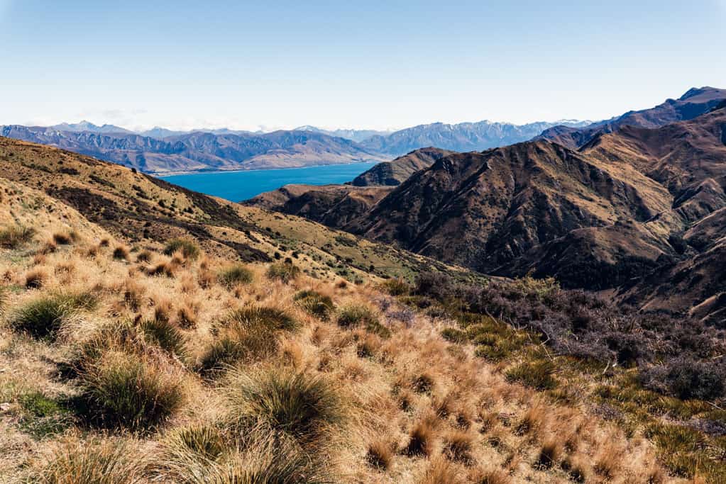
This track, previously known as Grandview Creek Track, gains almost 1’000m in altitude to the 1’398m summit of Grandview Mountain and offers some literally grand views of Lake Hawea, Wanaka, and the Southern Alps.
The trail, mostly 4WD and sometimes single track, initially passes through kanuka shrubland and clumps of beech forest and crosses Grandview Creek a couple of times, before it climbs higher up into the valley towards steep bluffs.
The track runs adjacent to Grandview Conservation Area but keeps on Hawea Station land as it ambles east then swings back through golden tussock and speargrass towards the lake. You continue in zigzags up the ridge as you come up to yet another gate, climb over yet another stile until you reach the station boundary at 1’260m.
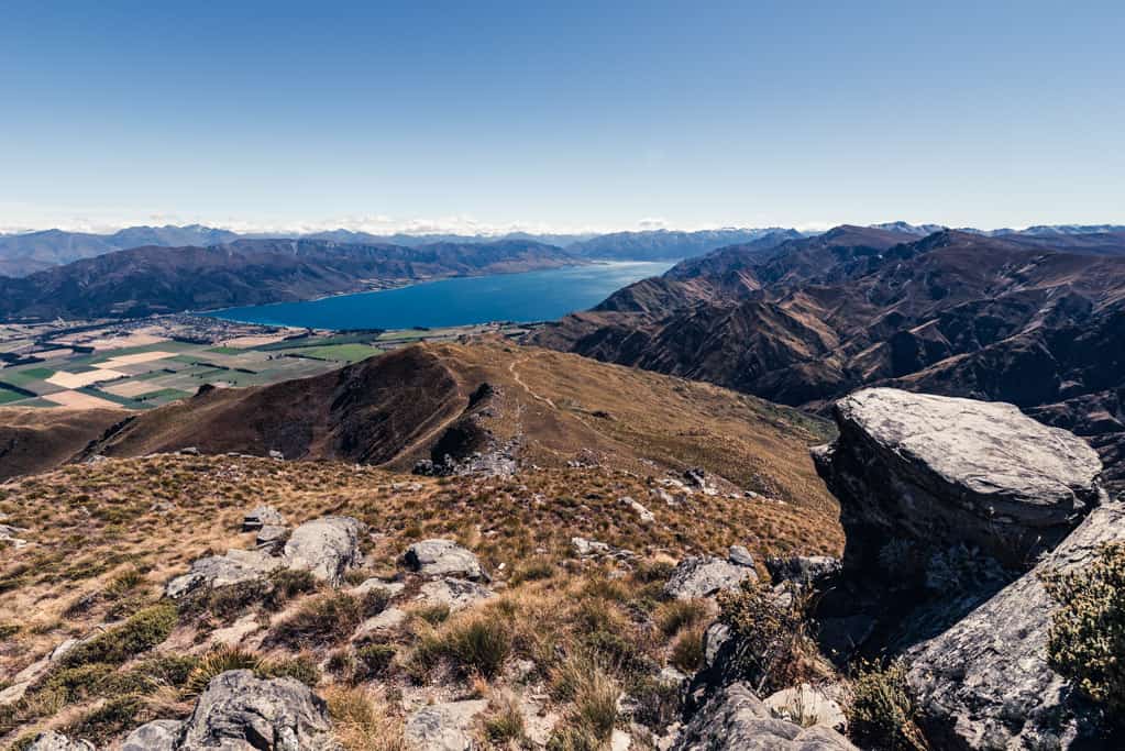
Near the top, the trail passes below and around the summit and approaches the trig point on a poled route up the eastern side of the peak. Standing on the mountaintop, you’ll have 360-degree views of the Hawea Flat stretching between the Clutha River and Lake Hawea and the Pisa Range and Dunstan Mountains rising to the south.
To the northwest ‘The Neck’ and Isthmus Peak can be clearly seen, and on a fine day, the iconic outline of 3’000m Mt Aspiring on the horizon. You’ll want to linger here as long as you can to soak up the views, but don’t be surprised, if the gentle breeze you felt on the ascent turns into ferocious gusts on the summit that race across the little rock outcrop and shake the trig point. I, at one point, almost lost my footing and turned back earlier than I wanted to, just to escape the wind.
Other than the stunning views, we loved the fact that this trail was so quiet. We met five hikers and three people on mountain bikes that day, a Sunday. If I was given the choice of hiking either Roys Peak or Grandview Mountain again in high season, I’d probably choose the latter for that reason. The return via the same track is almost all downhill and perfect for trail running.
related


Views from Grandview Mountain Track of the Hawea Flat stretching between the Clutha River and Lake Hawea and the Pisa Range and Dunstan Mountains rising to the south.
Lake Hawea | New Zealand
Hike | Out & back trail | 4-6 hours
track details.
Start/End: Nook Road DOC car park, approx. 6 km east from the Lake Hawea Township
Directions: from Lake Hawea Township, follow Cemetery and Gray roads east, turn left onto Hawea Back Road and right into Nook Road. You’ll need to go through two gates to get to the car park and trail head.
Distance: 17km (official DOC estimate: 18km return)
Time: 4 hr (official DOC estimate: 4-6 hr return)
Elevation gain: 945 meters (+/-) (lowest point: 452m / highest point: 1’387m)
Difficulty: easy-moderate, steep altitude gain and exposed to the weather but the track itself is easy, signposted and straightforward all the way to the summit
Best time to hike: summer and autumn
Options: suitable for trail running and mountain biking
Permits: none required, but the track passes through Lake Hawea Station, a working high-country station (stay on the marked track, respect livestock and property, and use stiles where provided). | The track is closed for lambing from 26 September – 21 November
Further information: Official DOC information