Hike | Wanaka | New Zealand
Hike the Isthmus Peak Track in Wanaka
Text | Anninka Kraus
Photography | Tobias Kraus

New Zealand Otago
Isthmus Peak takes its name from the isthmus, a narrow rocky ridge that divides Lake Hawea and Lake Wanaka, called ‘The Neck’.
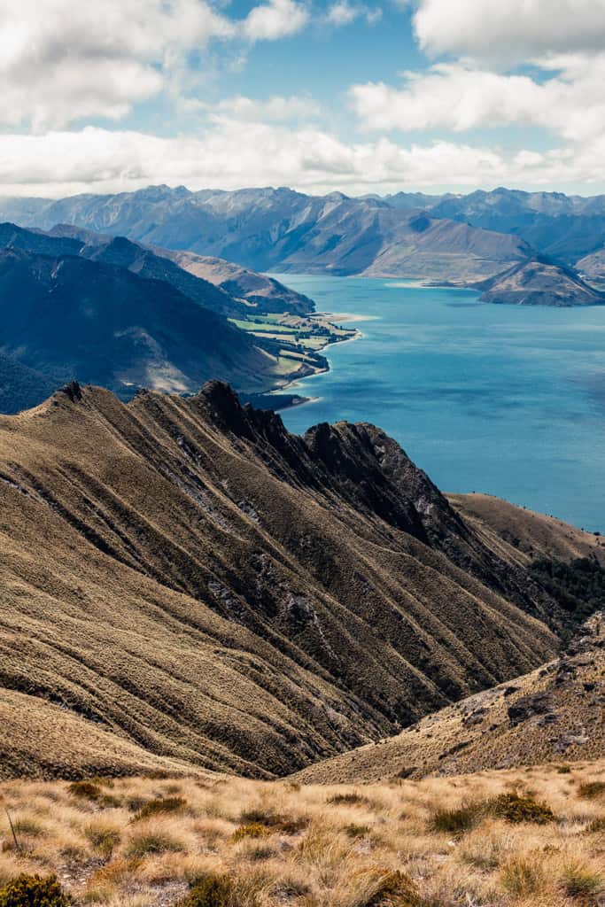
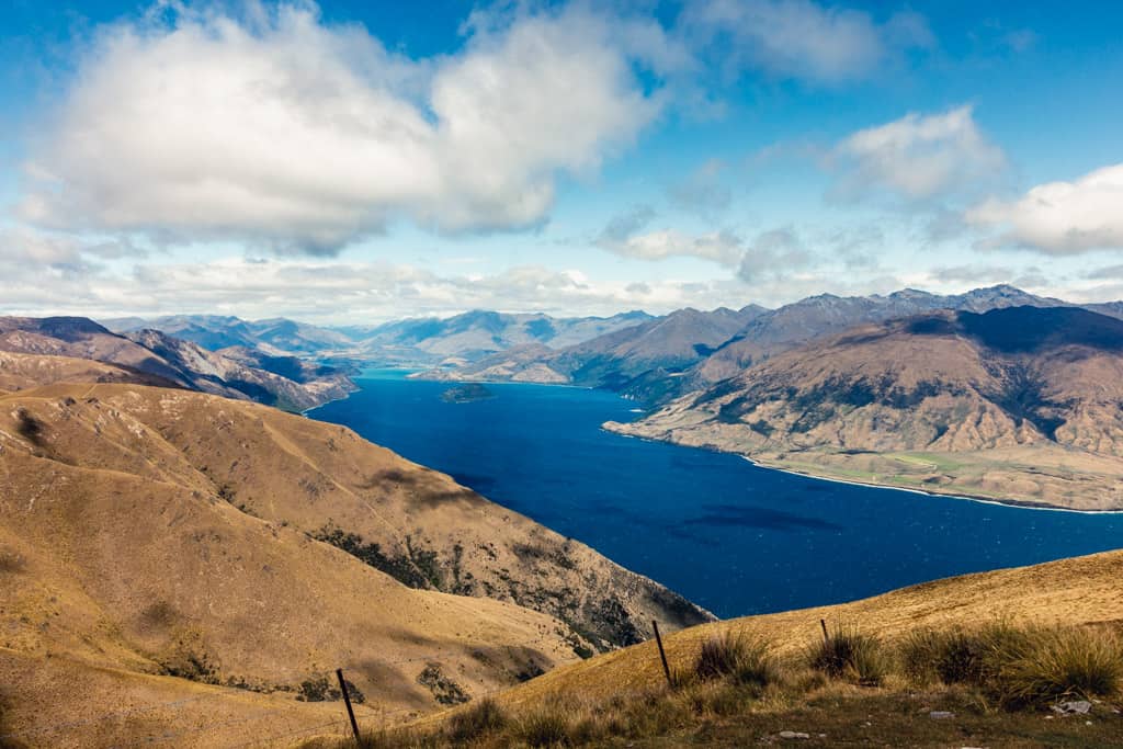
Perfectly positioned above the two lakes in Matatiaho Conservation Area and surrounded by sublime mountain scenery, the 360-degree view from the 1385m peak is outstanding.
This was the first hike we did in Wanaka and I was surprised to find the parking lot empty and the track also. Until I realized, halfway up the mountain, that everyone had probably checked the weather forecast more closely than us and knew that the innocent ‘partly cloudy’ icon displayed on the weather app meant gale-force winds with negative wind chill.
Needless to say, we were neither appropriately dressed nor mentally prepared for this sudden cold snap in February which, technically, is summer. I’ve lamented the fact – that it is technically summer but feels nothing like it – only too often in the past weeks, but this day on Isthmus was something else entirely.
The icy wind blowing relentlessly down the slopes and southwesterly gusts that whipped across the summit plateau were swept up straight from the Antarctic, I’m sure, from the dead of winter.
So, yes, the weather might have played its part in keeping the crowds away, but Isthmus generally receives much less traffic than Roys.
The trailhead is located 30km north of Wanaka and across the road from Stewart Creek car park on State Highway 6. There’s plenty of space to park here, but take care crossing the road as most drivers have their eyes on the lake scenery and not so much on the road.
The track initially passes through pockets of beech trees and some manuka but soon breaks out into open grassland and joins with a 4WD farm track that steadily zigzags up the eastern mountainside on a poled route. It’s a steady 1’100m climb on switchbacks from the car park to the summit, with no cover from the sun or wind, but then again, you won’t easily find another track this wide and well-trodden that manages such a hefty altitude gain anywhere else but in Wanaka.
Towards the top, paddocks transition into golden tussock and snowgrass with some craggy schist outcrops rising to a razor-sharp ridge alongside the trail. When you arrive at a track junction with the Glen Dene Ridge Track, follow the signpost to the right along the undulating skyline ridge to the summit at 1386m.
The uninterrupted views of both lakes to the backdrop of a saw-tooth mountain skyline, its highest peaks dusted with snow the texture of icing sugar, make this one of my favourite hikes in Wanaka.
Return by the same track. We ran down, to warm up, but also because the track is splendid for downhill running.
related.
All the best hikes in the area – Top 8 Hikes in Wanaka
The most famous of them all – Roys Peak Track
The fabulous Grandview Mountain Track


Lake Hawea | New Zealand
Hike | Out & back trail | 4-6 hours
track details.
Start/End: Stewart Creek car park on State Highway 6, a 25min drive north of Wanaka
Directions: follow SH6 north towards ‘The Neck’, past Lake Hawea Lookout, to a small car park vis-à-vis the trail head
Distance: 15.8km (official DOC estimate: 16km)
Time: 4 hr (official DOC estimate: 5-7 hr)
Elevation gain: 1’055 meters (+/-) (lowest point: 370m / highest point: 1’385m)
Difficulty: easy-moderate, steep altitude gain and exposed to the weather but the track itself is 4WD, wide and well-marked
Best time to hike: summer and autumn
Options: suitable for trail running
Permits: none required but the track passes through farmland owned by Glen Dene Station (stay on the marked track and leave gates as you find them) and is annually closed for fawning between 20 November and 20 December
Further information: Official DOC information