Hike | Wanaka | New Zealand
Hike Roys Peak Track in Wanaka
Text | Anninka Kraus
Photography | Tobias Kraus

New Zealand Otago
Roys Peak is famous (on instagram) for its otherworldly views across Lake Wanaka to the snow-clad Southern Alps. Unfortunately, that beauty and ensuing popularity also make this track the busiest in Wanaka.
Hiking in off-peak times (spring/autumn and sunrise/sunset) is highly recommended. I guess we were lucky to hike Roys Peak when the borders were closed and the car park for the 16km return track was almost empty.
To think that I thought it was busy at the time makes me laugh now, having learnt in the meantime that you’d normally share this trail with hundreds of other people.
I suppose we’ve become so used to not meeting a soul on our hikes in the past months, that sharing the summit plateau with four strangers felt like rush hour.
Maybe its huge popularity with a mixed crowd of tourists is also the reason for the many online reviews that describe this hike as extremely challenging while the DOC actually grades it an ‘easy walking track’. If you’re a hiker used to 1’000m+ elevation gains, this is probably the easiest such hike you’ll ever do.
If you don’t normally hike, Roys Peak Track may well present a challenge, a relentless drudgery to the summit, yes. But this surely is the gentlest way to the top of a 1’578m peak, short of flying or taking a gondola up, and I encourage you to give Roys Peak Track a go.
This wide dirt track has no technically difficult trail sections and there’s no need to make it all the way to the top. The views are extraordinarily beautiful already from halfway up the ridge.
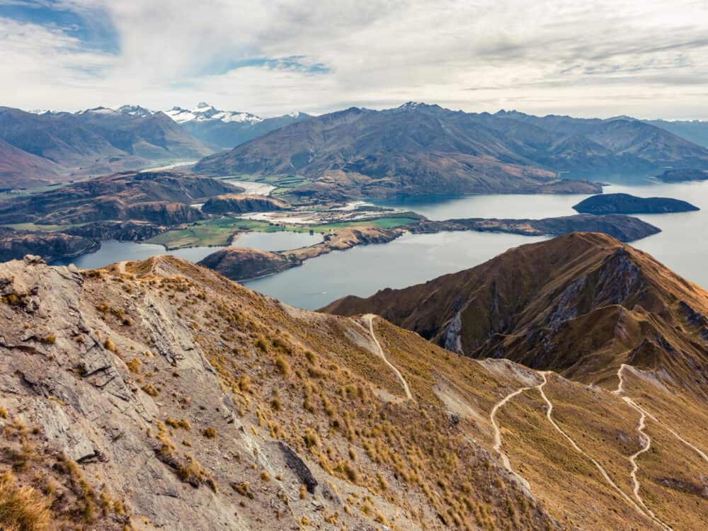
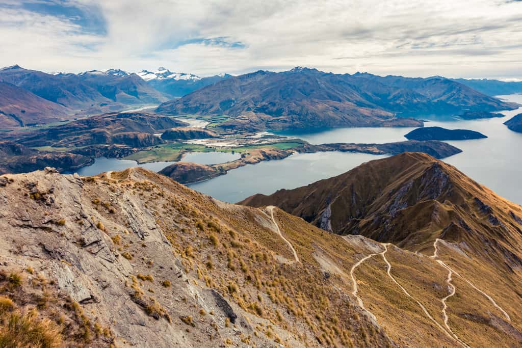
The 4WD track winds up the mountain like a white line snaking through WeetBix-colored tussock in tight switchbacks to the famous Roys Peak viewpoint.
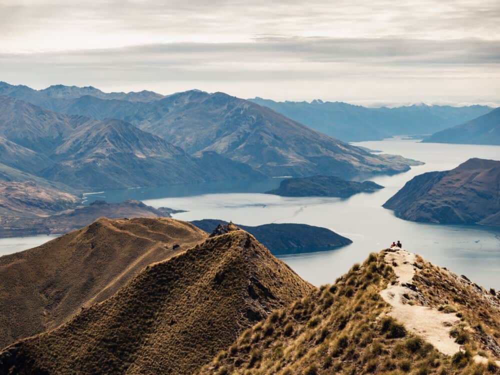
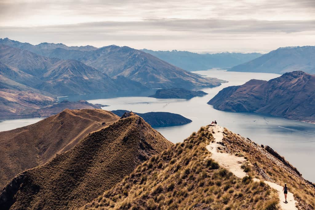
Even on a quiet day, a short selfie-stick ready queue was patiently waiting their turn to strike an insta-friendly pose on the narrow spur. Photos taken, they all turned back at this point, I was surprised to note.
Knowing the brilliant 360° panorama still to come – of Lake Wanaka spreading beautifully north towards the Makarora Valley, and in the northwest meeting the Matukituki River and a snow-capped mountain range standing proud and tall on the horizon with famous Mt Aspiring towering above all – I feel that to turn back a half hour’s steady climb short of the summit, you’re missing out on a lot.
The top is by far the best and a perfectly serene spot to be lost in wonder and admiration for this slice of paradise.
Roys has a $2 entry fee to be paid before your hike at the parking lot.
Take plenty of water and food (there’s no water available on the track), sunblock (there’s no shade whatsoever), and no matter the time of year, warm clothes.
related.


Golden tussock grasslands on the Roys Peak Track.
Wanaka | New Zealand
Hike | Out & back trail | 4-6 hours
track details.
Start/End: Roys Peak Track car park on Mount Aspiring Road, 6km from Wanaka
Distance: 14.9km (official DOC estimate: 16km return)
Time: 4 hr (official DOC estimate: 5-6 hr return)
Elevation gain: 1’255 meters (+/-) (lowest point: 335m / highest point: 1’575m)
Difficulty moderate, steep altitude gain and exposed to the weather but the track itself, 4WD, is wide and well-graded
Best time to hike: at sunrise or sunset, in summer or shoulder season (spring, autumn)
Options: suitable for trail running
Permits: none required but the track passes through privately owned farmland (stay on the marked track and leave gates as you find them) and is closed for lambing from the 1 October – 10 November
Further information: Official DOC information